MyTopo
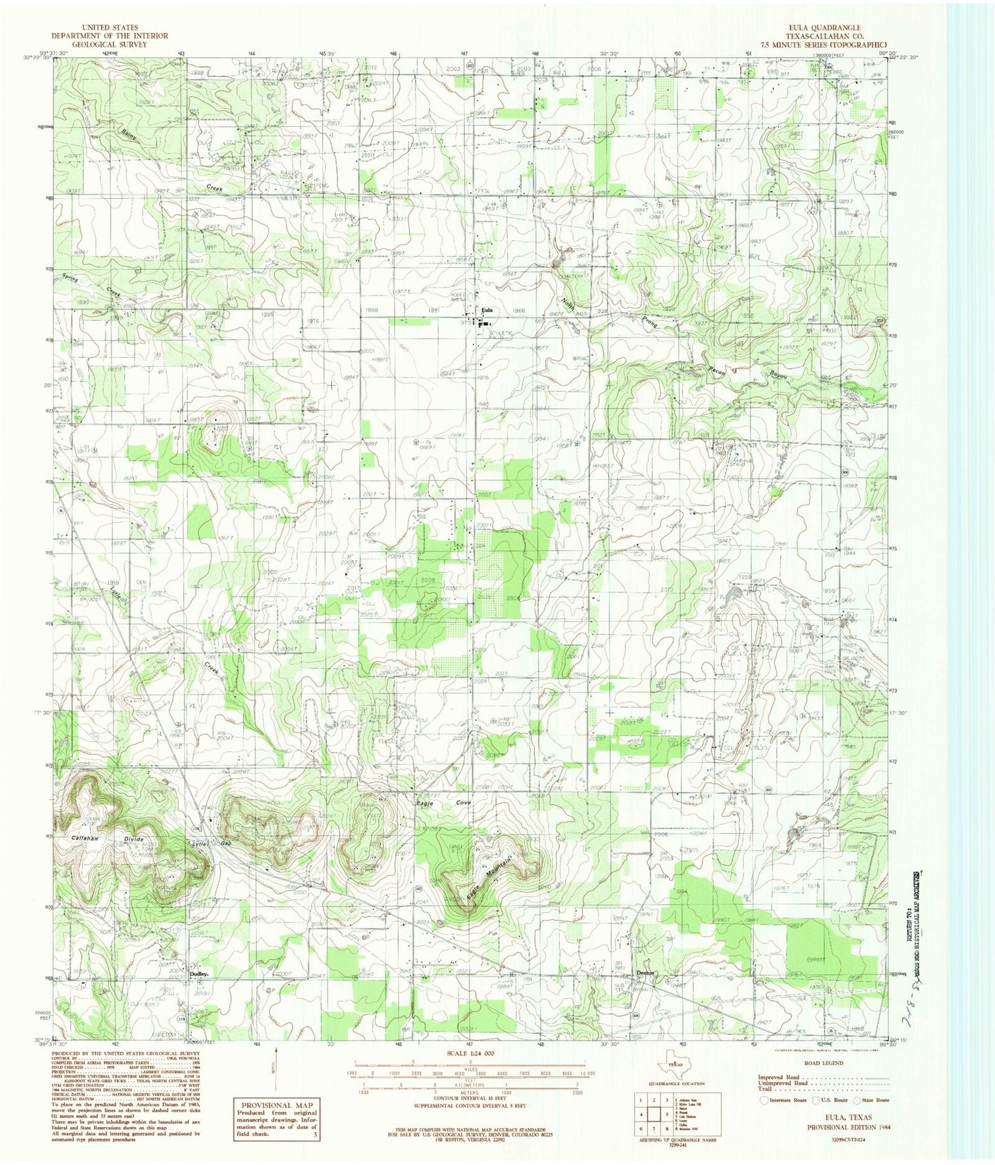
Classic USGS Eula Texas 7.5'x7.5' Topo Map
Couldn't load pickup availability
Historical USGS topographic quad map of Eula in the state of Texas. Map scale may vary for some years, but is generally around 1:24,000. Print size is approximately 24" x 27"
This quadrangle is in the following counties: Callahan.
The map contains contour lines, roads, rivers, towns, and lakes. Printed on high-quality waterproof paper with UV fade-resistant inks, and shipped rolled.
Contains the following named places: Clyde Division, Clyde Station, Denton, Denton Valley School, Dudley, Dudley Cemetery, Eagle Cove, Eagle Mountain, Eula, Eula Cemetery, Eula Volunteer Fire Department, KEAN-FM (Abilene), Kendrick Cemetery, KTAB-TV (Abilene), Lytle Gap, Pleasant Valley Cemetery, Seaton Cemetery, Zimmerle Airport, ZIP Code: 79510