MyTopo
Classic USGS Eureka Dam Florida 7.5'x7.5' Topo Map
Couldn't load pickup availability
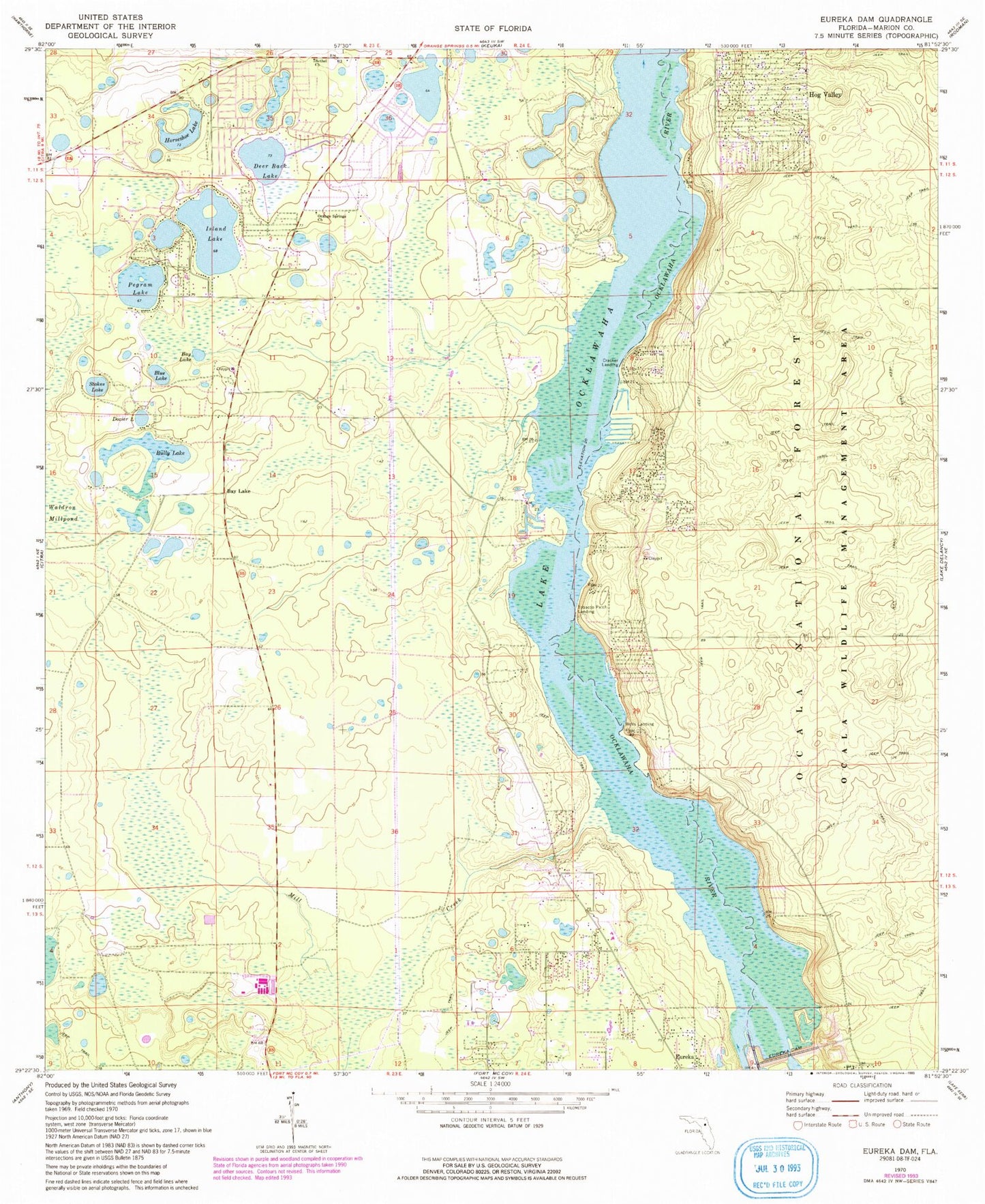
Historical USGS topographic quad map of Eureka Dam in the state of Florida. Typical map scale is 1:24,000, but may vary for certain years, if available. Print size: 24" x 27"
This quadrangle is in the following counties: Marion.
The map contains contour lines, roads, rivers, towns, and lakes. Printed on high-quality waterproof paper with UV fade-resistant inks, and shipped rolled.
Contains the following named places: Bay Lake, Bay Lake, Bethel Church, Blue Lake, Bully Lake, Cracker Landing, Deer Back Lake, Dozier Lake, Eureka Dam, Hog Valley, Horseshoe Lake, Island Lake, Orange Springs Church (historical), Pegram Lake, Stokes Lake, Tobacco Patch Landing, Wells Landing, Fort McCoy Wildlife Management Area, Paynes Landing (historical), Mill Creek, New Vision Worship Center, Cornelius Baptist Church (historical), Cornelius Memorial Cemetery, Bethel First Christian Church, Marion County Fire Rescue Station 13 Orange Springs, First Baptist Church of Orange Springs, Forest Baptist Church, Marion County Fire Rescue Station 8 Hog Valley, Fort McCoy School, First Baptist Church of Eureka