MyTopo
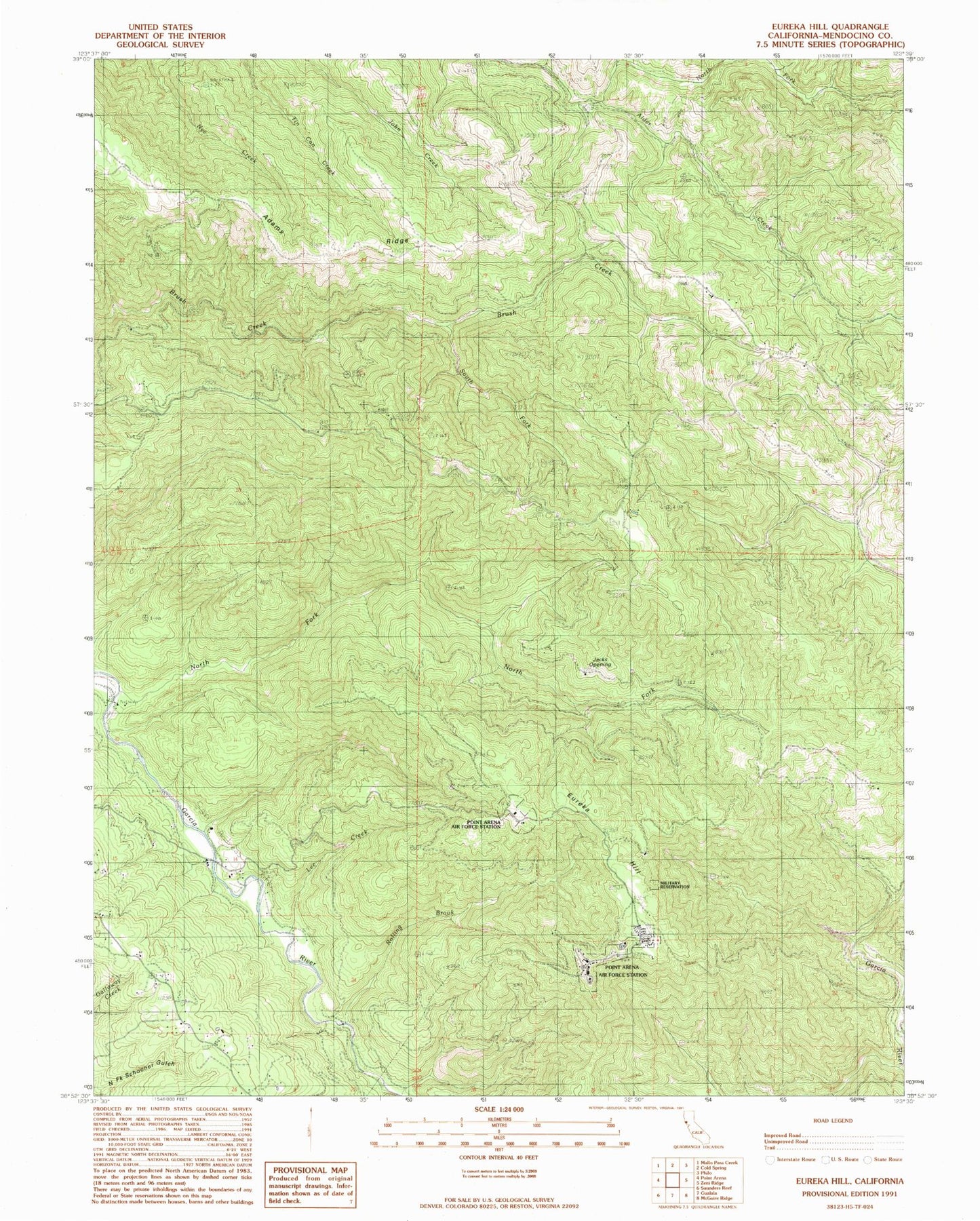
Classic USGS Eureka Hill California 7.5'x7.5' Topo Map
Couldn't load pickup availability
Historical USGS topographic quad map of Eureka Hill in the state of California. Map scale may vary for some years, but is generally around 1:24,000. Print size is approximately 24" x 27"
This quadrangle is in the following counties: Mendocino.
The map contains contour lines, roads, rivers, towns, and lakes. Printed on high-quality waterproof paper with UV fade-resistant inks, and shipped rolled.
Contains the following named places: Adams Ridge, Brayton Ranch, Buckridge Ranch, Campbell Ranch, Dunbar Ranch, Eureka Hill, Garcia River Forest, Jacks Opening, Lee Creek, Lookout Ranch, Moungovans Ranch, Mount View Ranch, North Fork Alder Creek, North Fork Garcia River, Piper Ranch, Point Arena Air Force Station, Point Arena Division, Rolling Brook, Signal Creek, South Fork Brush Creek, ZIP Codes: 95459, 95468