MyTopo
Classic USGS Eustis SW Nebraska 7.5'x7.5' Topo Map
Regular price
$16.95
Regular price
Sale price
$16.95
Unit price
per
Couldn't load pickup availability
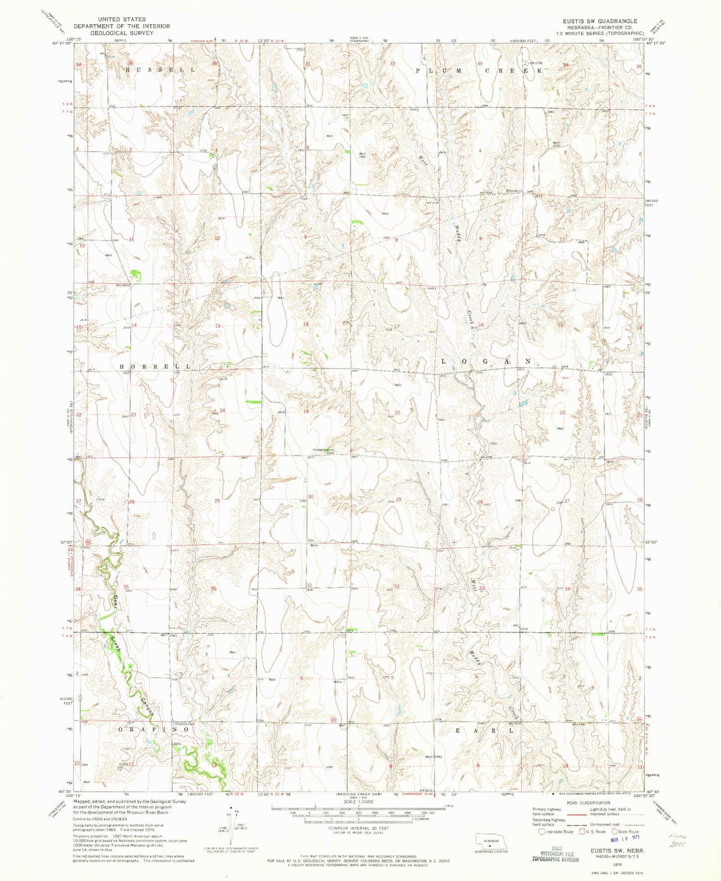
Historical USGS topographic quad map of Eustis SW in the state of Nebraska. Map scale may vary for some years, but is generally around 1:24,000. Print size is approximately 24" x 27"
This quadrangle is in the following counties: Frontier.
The map contains contour lines, roads, rivers, towns, and lakes. Printed on high-quality waterproof paper with UV fade-resistant inks, and shipped rolled.
Contains the following named places: Berke Dam, Berke Reservoir, Earl School, Hess Dam, Hess Reservoir, Independence Cemetery, Klein Dam, Klein Reservoir, Logan Election Precinct, Pleasant Hill - Marlin Cemetery, Schurr Dam Number 2, Schurr Reservoir Number 2, Township of Logan