MyTopo
Classic USGS Eustis Nebraska 7.5'x7.5' Topo Map
Couldn't load pickup availability
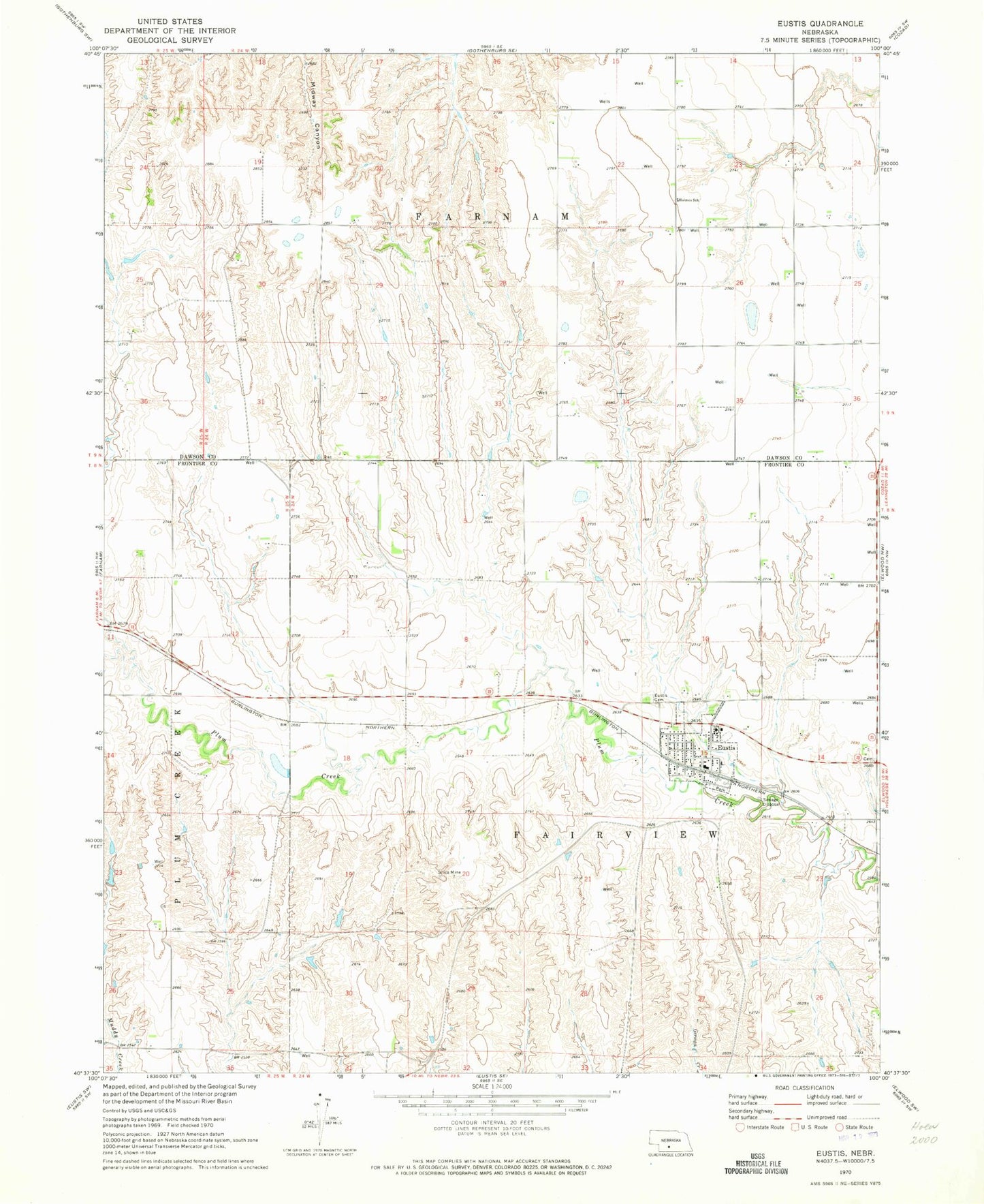
Historical USGS topographic quad map of Eustis in the state of Nebraska. Map scale may vary for some years, but is generally around 1:24,000. Print size is approximately 24" x 27"
This quadrangle is in the following counties: Dawson, Frontier.
The map contains contour lines, roads, rivers, towns, and lakes. Printed on high-quality waterproof paper with UV fade-resistant inks, and shipped rolled.
Contains the following named places: Dawson Company Road Dam Number 1, Dawson Company Road Dam Number 2, Dawson Company Road Dam Reservoir Number 1, Dawson Company Road Dam Reservoir Number 2, Dawson Company Road Dam Reservoir Number 8, Dawson Company Road Dam Reservoir Number 9, Dawson County Road Dam Number 8, Dawson County Road Dam Number 9, Eustis, Eustis East Cemetery, Eustis Fire and Rescue, Eustis Methodist Cemetery, Eustis Post Office, Eustis Public Library, Eustis Volunteer Rescue Squad, Eustis-Farnam High School, Fairview Election Precinct, Farmers Cooperative Association Elevator, Hueftle Dam, Hueftle Reservoir, Kingston, Koch Dam-1 Dam, Koch Reservoir, Pioneer Cemetery, Plum Creek Medical Group, Saint John Lutheran Church, Township of Fairview, Township of Farnam, United Methodist Church, Village of Eustis, Westview Cemetery, Yeutter Dam, Yeutter Reservoir, ZIP Code: 69028