MyTopo
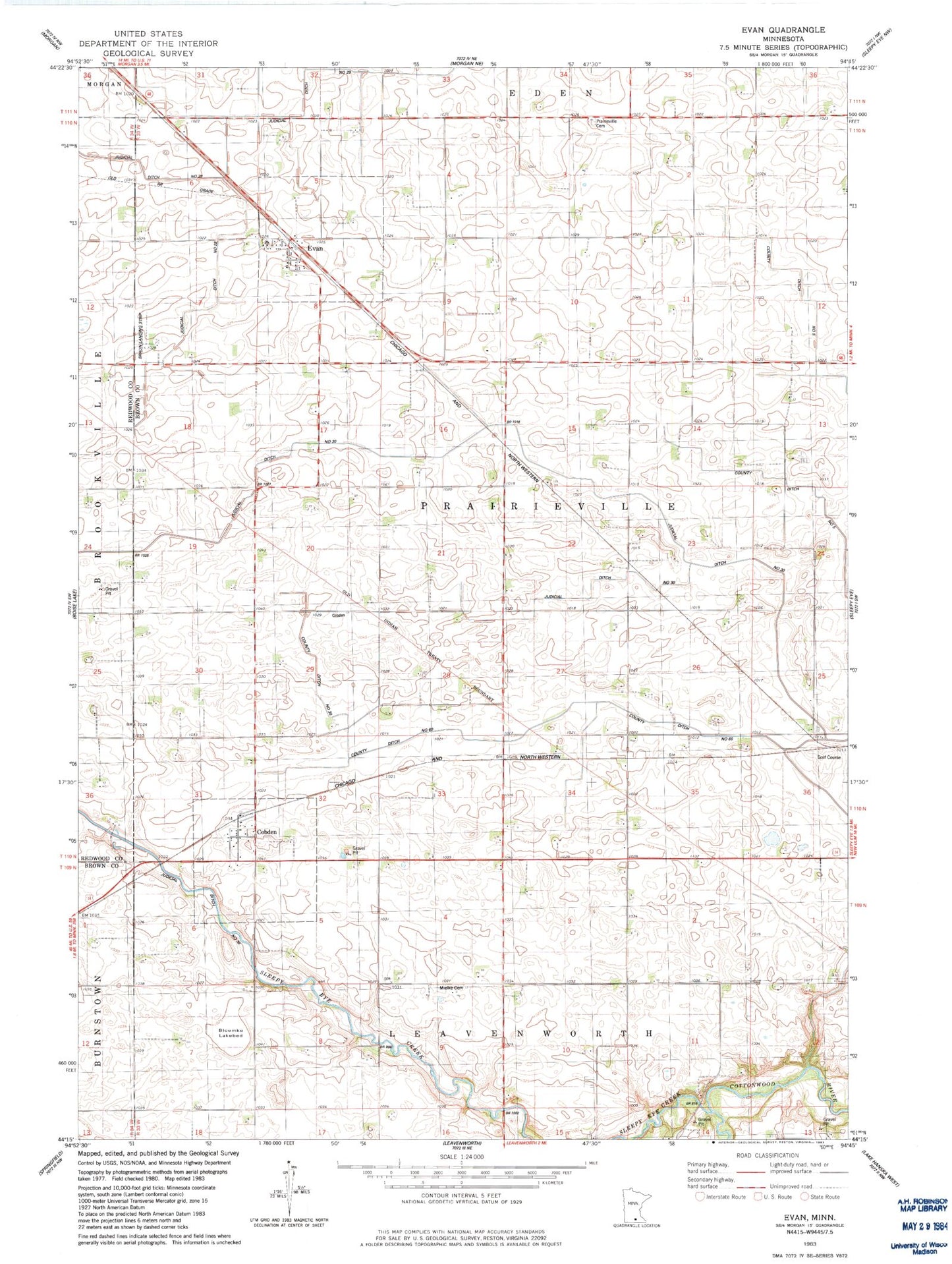
Classic USGS Evan Minnesota 7.5'x7.5' Topo Map
Couldn't load pickup availability
Historical USGS topographic quad map of Evan in the state of Minnesota. Map scale may vary for some years, but is generally around 1:24,000. Print size is approximately 24" x 27"
This quadrangle is in the following counties: Brown, Redwood.
The map contains contour lines, roads, rivers, towns, and lakes. Printed on high-quality waterproof paper with UV fade-resistant inks, and shipped rolled.
Contains the following named places: Bloemke Lake, Bloemke Lakebed, Braun Landing Strip, City of Cobden, City of Evan, Cobden, Cobden Post Office, County Ditch Number Sixty, County Ditch Number Thirty, Evan, Evan Post Office, Mielke Cemetery, Prairieville Cemetery, Redwood Brown Ditch Number One, Saint Matthew's Lutheran Church, School Number 29, School Number 36, School Number 43, School Number 44, School Number 60, Sleepy Eye Creek, Sleepy Eye Golf Club, Township of Prairieville