MyTopo
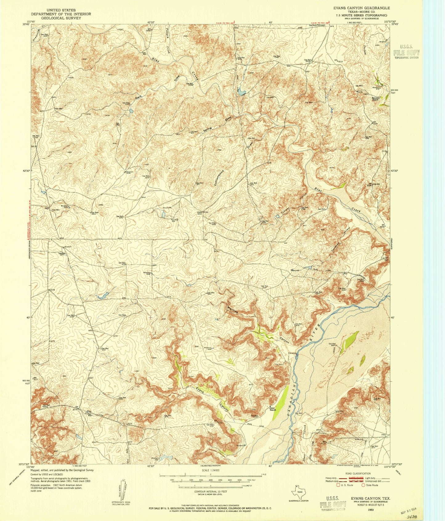
Classic USGS Evans Canyon Texas 7.5'x7.5' Topo Map
Couldn't load pickup availability
Historical USGS topographic quad map of Evans Canyon in the state of Texas. Map scale may vary for some years, but is generally around 1:24,000. Print size is approximately 24" x 27"
This quadrangle is in the following counties: Moore.
The map contains contour lines, roads, rivers, towns, and lakes. Printed on high-quality waterproof paper with UV fade-resistant inks, and shipped rolled.
Contains the following named places: Big Blue Creek, Blue West Picnic Area, Chimney Hollow, Cottonwood Draw, Evans Canyon, Fritch Canyon, Gary Draw, Harbor Bay, Lake Meredith, Martins Canyon, Pollard Creek, Record Cemetery, Record Ranch, Sand Creek, Sanford Recreational Area, Short Creek, Spring Creek, Spring Draw, Timber Hollow, Weymouth Ranch Lower Lake, Weymouth Ranch Lower Lake Dam