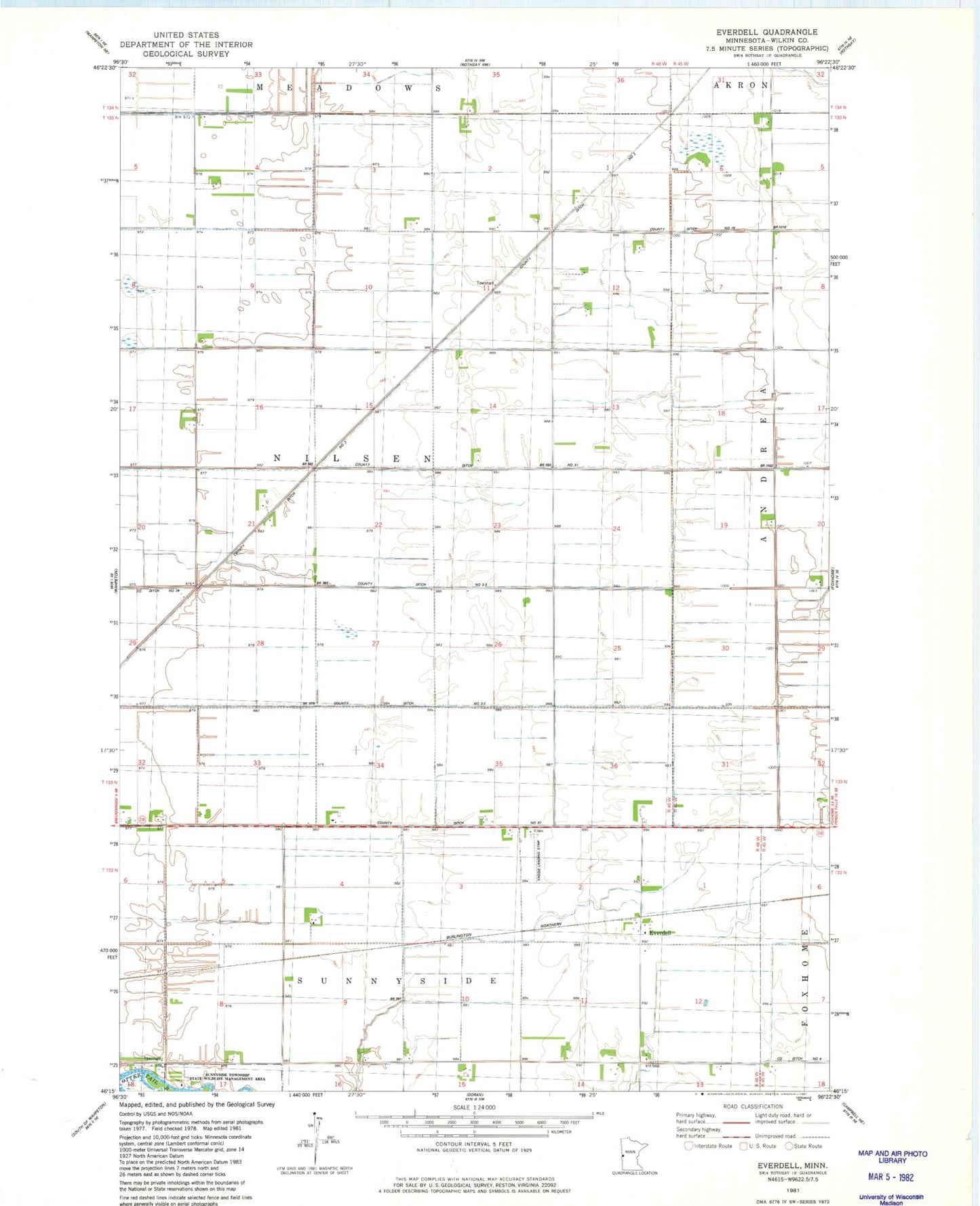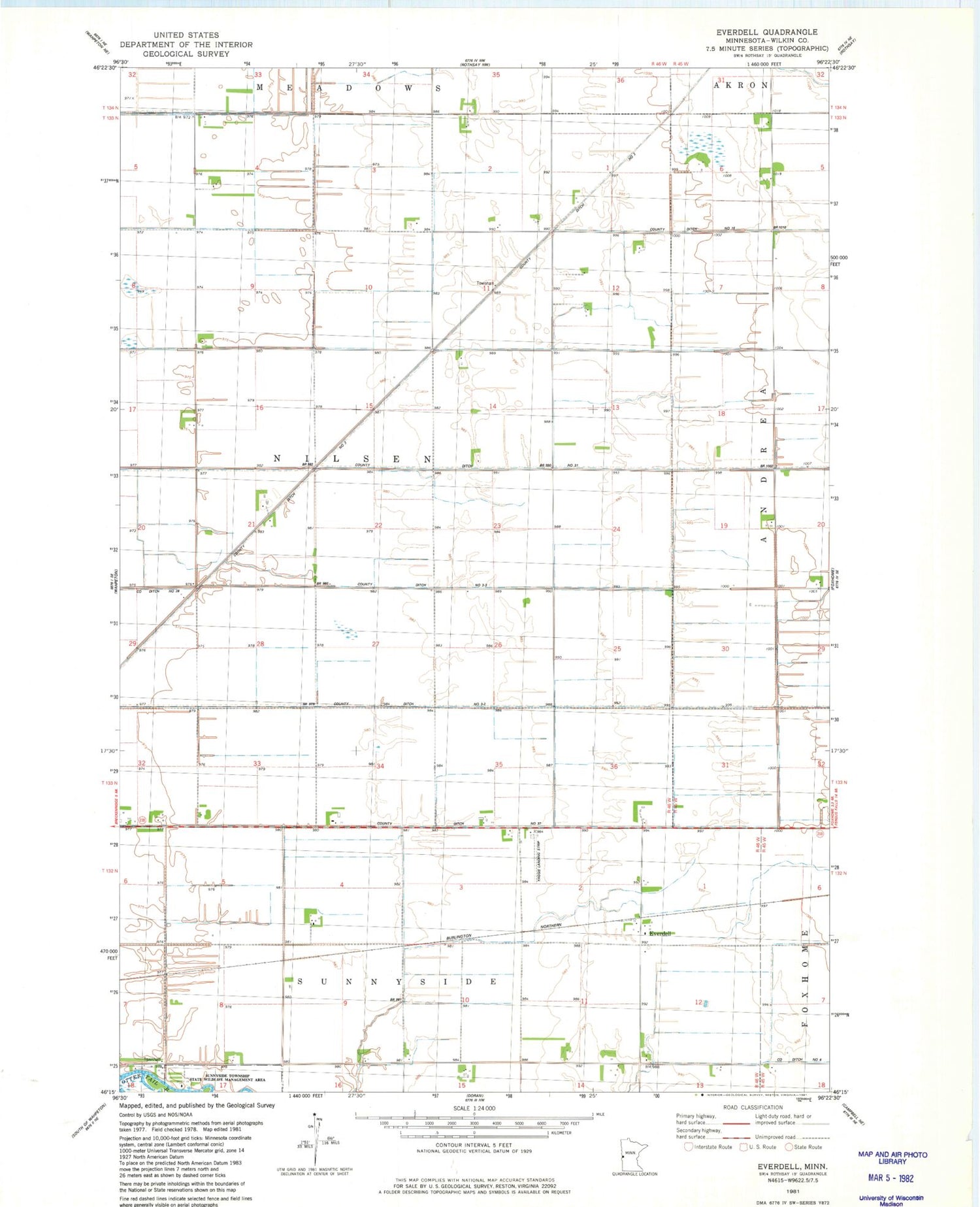
MyTopo
Classic USGS Everdell Minnesota 7.5'x7.5' Topo Map
Couldn't load pickup availability
Historical USGS topographic quad map of Everdell in the state of Minnesota. Map scale may vary for some years, but is generally around 1:24,000. Print size is approximately 24" x 27"
This quadrangle is in the following counties: Wilkin.
The map contains contour lines, roads, rivers, towns, and lakes. Printed on high-quality waterproof paper with UV fade-resistant inks, and shipped rolled.
Contains the following named places: County Ditch Number Fifteen, County Ditch Number Thirty One, County Ditch Number Thirtyseven, County Ditch Number Three, County Ditch Number Three-Three, County Ditch Number Three-Two, Everdell, Everdell Post Office, School Number 23, School Number 40, School Number 49, School Number 64, School Number 82, Township of Nilsen, Wilkin County, Yaggie Private Airport, ZIP Code: 56520