MyTopo
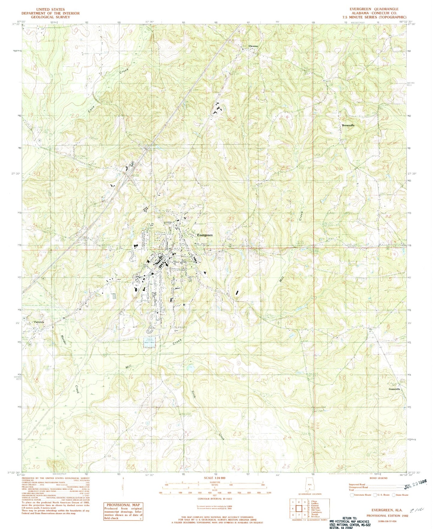
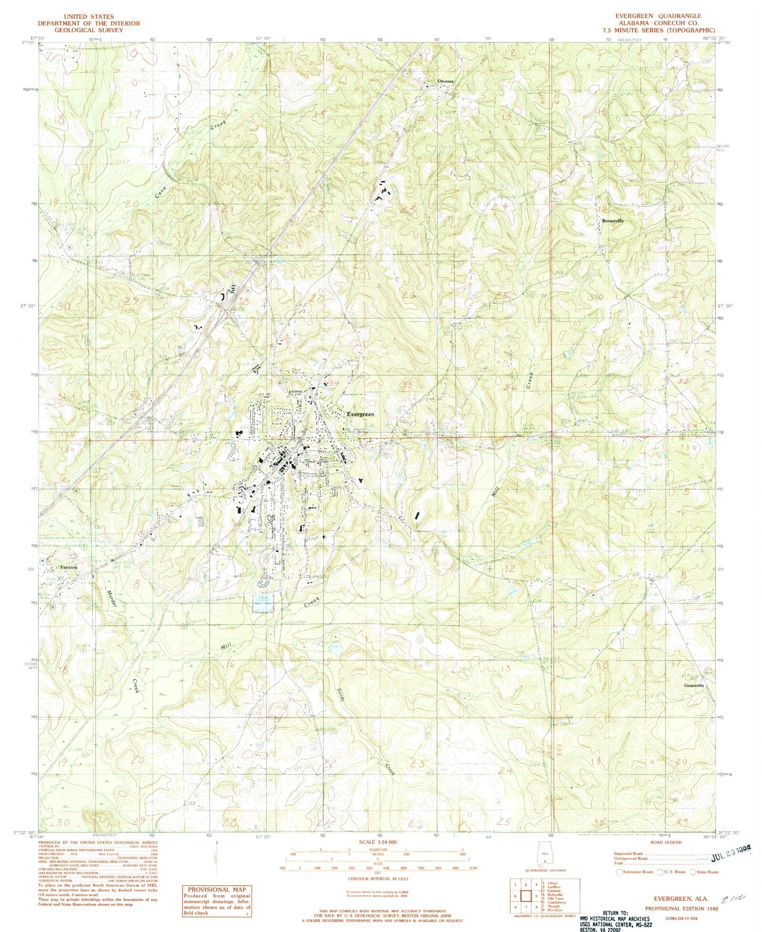
Classic USGS Evergreen Alabama 7.5'x7.5' Topo Map
Couldn't load pickup availability
Historical USGS topographic quad map of Evergreen in the state of Alabama. Map scale may vary for some years, but is generally around 1:24,000. Print size is approximately 24" x 27"
This quadrangle is in the following counties: Conecuh.
The map contains contour lines, roads, rivers, towns, and lakes. Printed on high-quality waterproof paper with UV fade-resistant inks, and shipped rolled.
Contains the following named places: Abundant Life Assembly Church, Alabama State Troopers Troop I, Antioch Missionary Baptist Church, Bethel Baptist Church, Bower Memorial Baptist Church, Brown Beasley Cemetery, Brownville, Brownville Church, Call to Life Apostolic Church, Centerville, City of Evergreen, Conecuh Baptist Association Church, Conecuh County, Conecuh County Courthouse, Conecuh County Sheriff's Office, Conecuh Rescue and Fire Department, Evergreen, Evergreen Elementary School, Evergreen Golf Club, Evergreen High School, Evergreen Medical Center, Evergreen Police Department, Evergreen Post Office, Evergreen Sewage Lagoon, Evergreen Sewage Lagoon Dam, Evergreen Volunteer Fire Department, Fairview Baptist Church, Fairview Church of Christ, First Assembly of God Church, First Baptist Church, First United Methodist Church, Little Zion Church, Marshall High School, Mill Creek, Moody Lake, Moody Lake Dam, Morgans Dam, Morgans Pond, Mount Zion African Methodist Episcopal Church, Olive Branch Cemetery, Olive Branch Church, Owassa, Owassa - Brownville Volunteer Fire Department, Rabb, Rabb Cemetery, Reid State Technical College, Saint Pauls United Methodist Church, Sandy Creek, Southside Elementary School, Sparta Academy, Spence Cemetery, Unity in Christ Outreach Church, WEGN-AM (Evergreen), Westside Church, WTII-FM (Evergreen), ZIP Code: 36401


