MyTopo
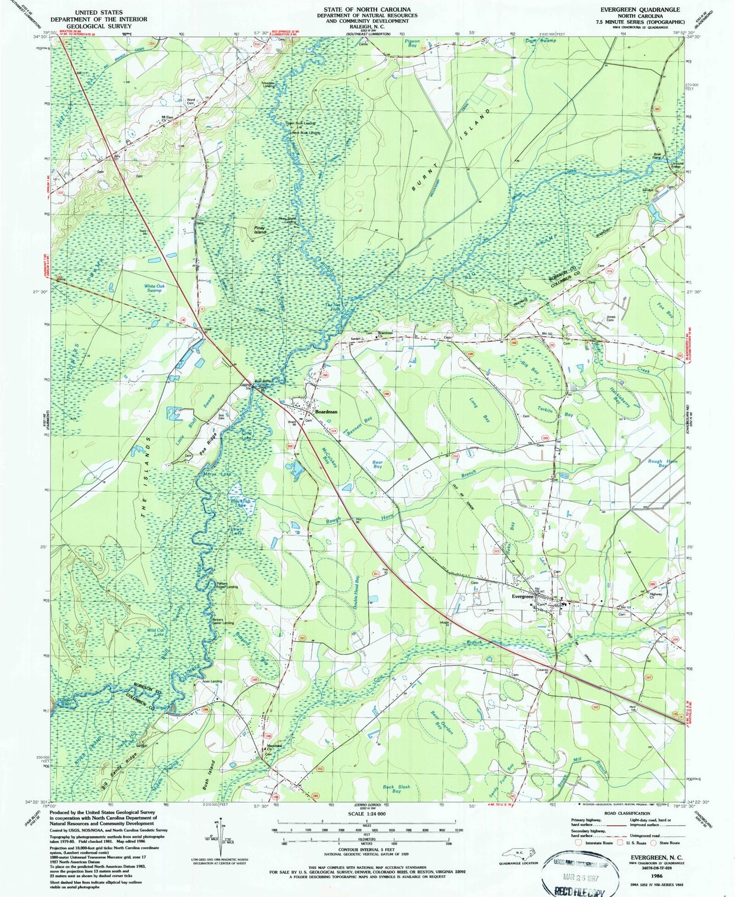
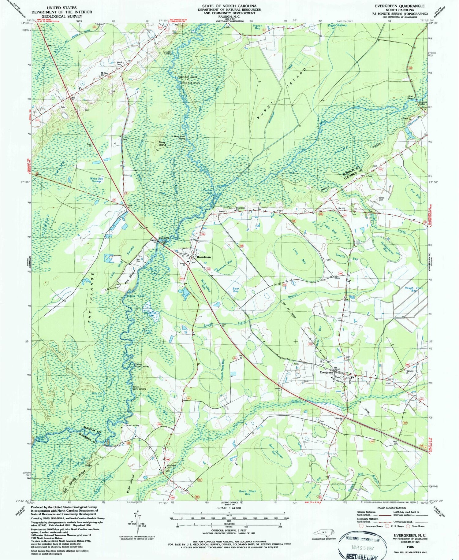
Classic USGS Evergreen North Carolina 7.5'x7.5' Topo Map
Couldn't load pickup availability
Historical USGS topographic quad map of Evergreen in the state of North Carolina. Map scale may vary for some years, but is generally around 1:24,000. Print size is approximately 24" x 27"
This quadrangle is in the following counties: Columbus, Robeson.
The map contains contour lines, roads, rivers, towns, and lakes. Printed on high-quality waterproof paper with UV fade-resistant inks, and shipped rolled.
Contains the following named places: Aces Landing, Bear Bay, Bear Garden Bay, Beks Bay, Bennett Bay, Big Bay, Big Swamp, Big Swamp Canal, Blackfish Lake, Bluff Swamp, Boardman, Boardman Church, Brier Creek, Britt Cemetery, Buck Slash Bay, Buzzard Bay, Corbel Residential Facility, Double Head Bay, Duck Bait Slough, Evergreen, Evergreen Census Designated Place, Evergreen Elementary School, Evergreen Fire Station 7, Evergreen Post Office, Fairmont Regional Wastewater Treatment Plant, Fox Bay, Griffin Whirl, Gum Swamp Canal, Highway Church, Horace Grove Baptist Church, Huckleberry Bay, Iveys Bridge, Jones Cemetery, Lennons Bridge, Lewis Lake, Little Bluff Swamp, Log Pine Bay, Long Bay, Long Lake, Lower Buck Landing, Lumber Wild and Scenic River, Macedonia Church, Marys Lake, McColskey Bay, Meadow Landing, Mount Elam Church, Parkers Lower Landing, Parkers Upper Landing, Pea Ridge, Piney Island, Piney Island Canal, Piney Island Landing, Rough Horn Branch, Sand Hill Lake, Sand Island Slough, Scoggin Bay, Smith Lake, Stevens Canal, Tarkiln Bay, The Islands, The Net Hole, Town of Boardman, Township of Tatums, Upper Buck Landing, Ward Cemetery, White Oak Swamp, Wild Cat Lake, Willoughby Canal, ZIP Code: 28438


