MyTopo
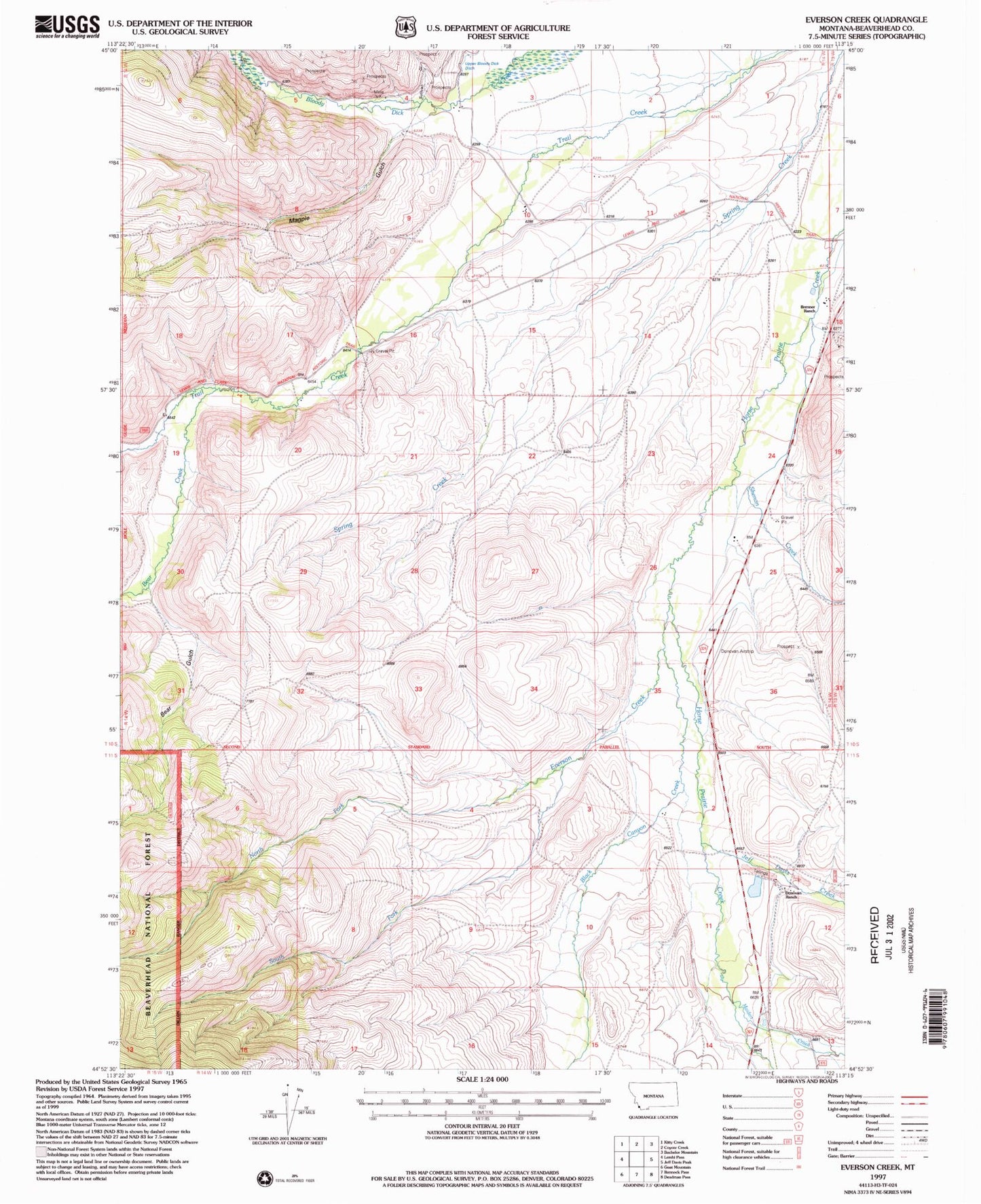
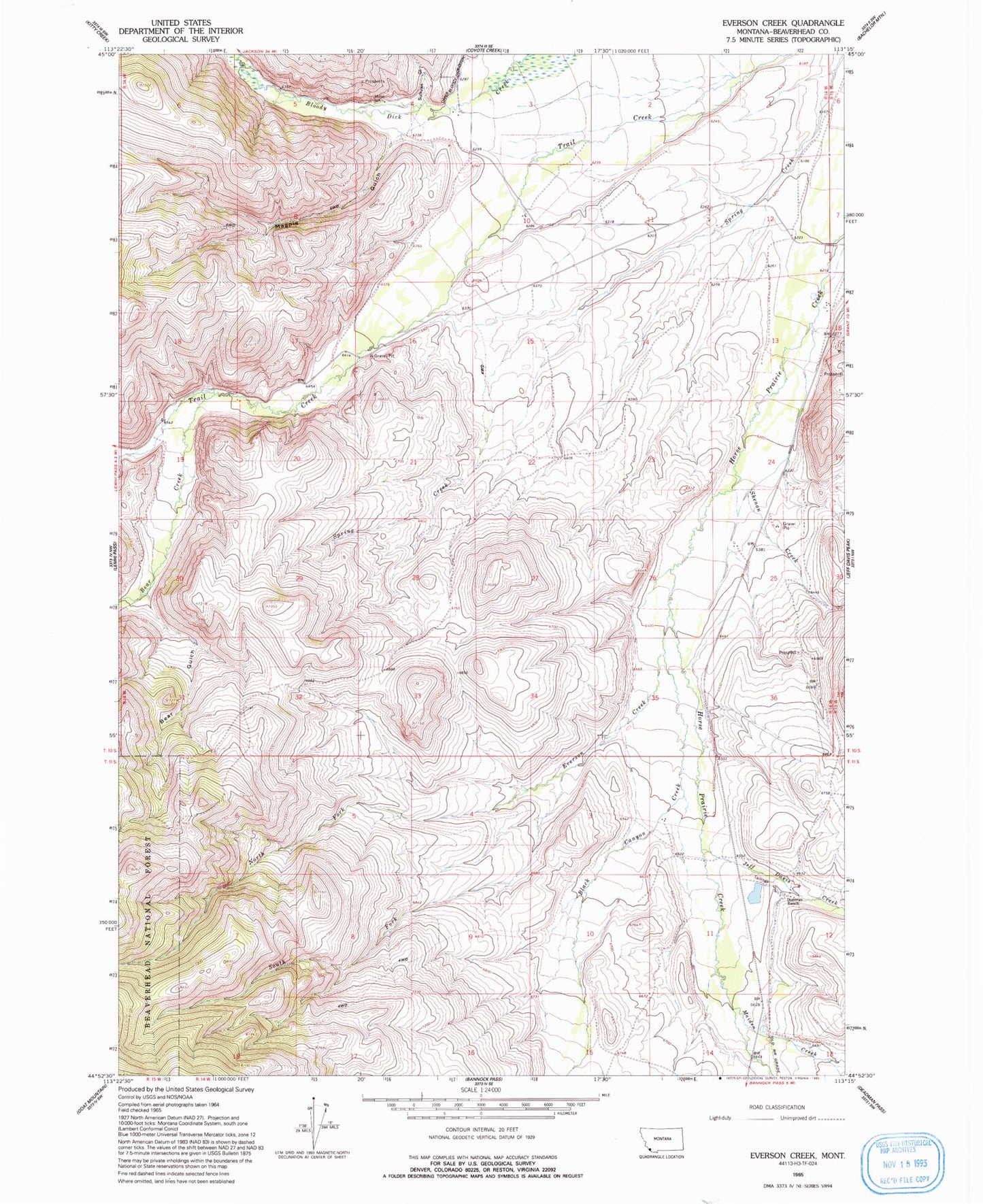
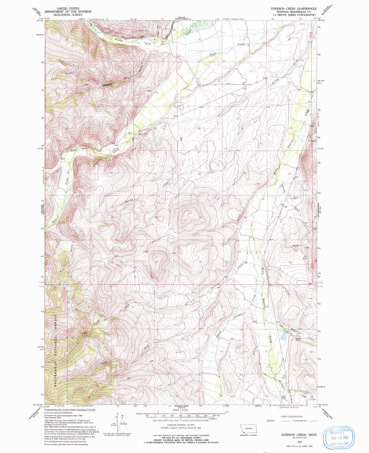
Classic USGS Everson Creek Montana 7.5'x7.5' Topo Map
Couldn't load pickup availability
Historical USGS topographic quad map of Everson Creek in the state of Montana. Map scale may vary for some years, but is generally around 1:24,000. Print size is approximately 24" x 27"
This quadrangle is in the following counties: Beaverhead.
The map contains contour lines, roads, rivers, towns, and lakes. Printed on high-quality waterproof paper with UV fade-resistant inks, and shipped rolled.
Contains the following named places: 10S14W03BBCB01 Well, 10S14W10BDAD01 Well, 10S14W23CDBB01 Well, Bear Creek, Bear Gulch, Black Canyon Creek, Bloody Dick Creek Mine, Brenner Ranch, Confederate Dam, Donovan, Donovan Airstrip, Donovan Ranch, Donovan Ranch Post Office, Everson Creek, Horse Prairie, Horse Prairie Post Office, Horse Prairie School, Jeff Davis Creek, Jeff Davis Gulch, JS Brenner Ranch, Magpie Gulch, Maiden Creek, Monument, Monument Post Office, Monument School, NE Section 5 Mine, North Fork Everson Creek, North Fork Maiden Creek, NW Section 4 Mine, Shenon Creek, South Fork Everson Creek, Starlight Mine, Sullivan Gulch, Trail Creek