MyTopo
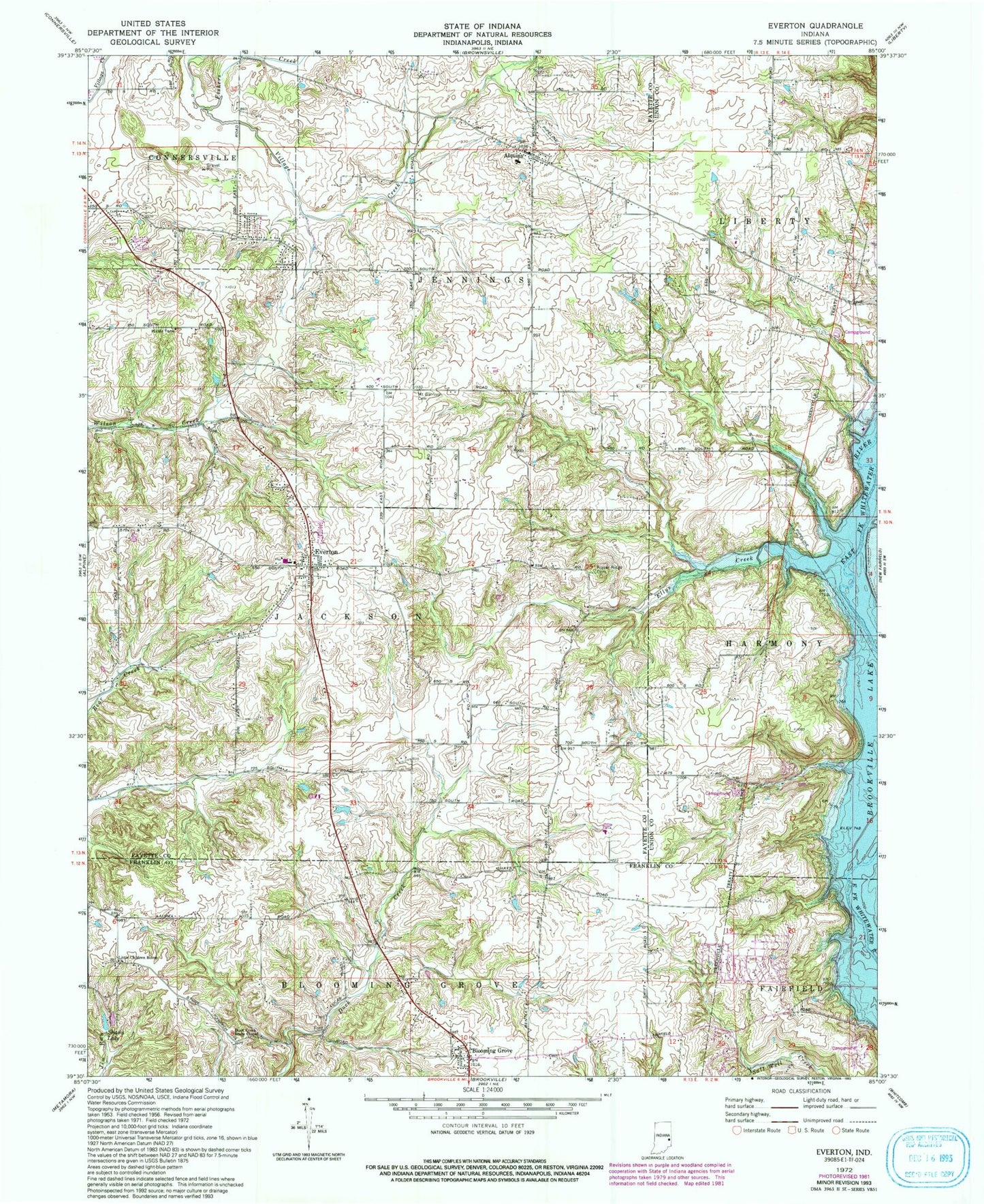
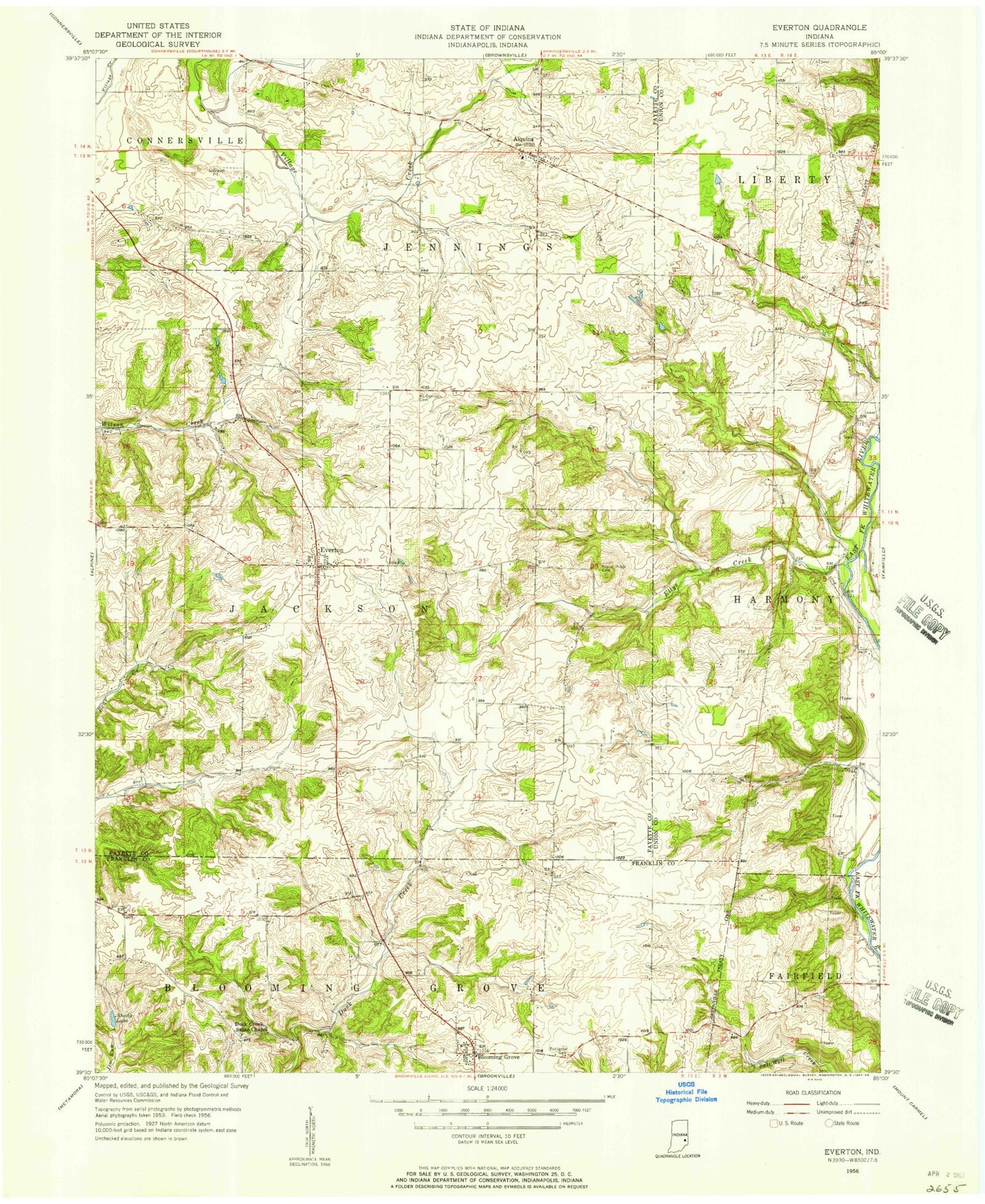
Classic USGS Everton Indiana 7.5'x7.5' Topo Map
Couldn't load pickup availability
Historical USGS topographic quad map of Everton in the state of Indiana. Typical map scale is 1:24,000, but may vary for certain years, if available. Print size: 24" x 27"
This quadrangle is in the following counties: Fayette, Franklin, Union.
The map contains contour lines, roads, rivers, towns, and lakes. Printed on high-quality waterproof paper with UV fade-resistant inks, and shipped rolled.
Contains the following named places: Alquina, Blooming Grove, Ellys Creek, Everton, Fishers Creek, Hanna Creek, Little Children Home Church, Mount Garrison Cemetery, Poplar Ridge Cemetery, Shady Lake, Alquina Elementary School, Pinhook, Duck Creek Stone Chapel, Quakertown, Township of Jackson, Township of Jennings, Everton Volunteer Fire Department, Blooming Grove Volunteer Fire Department, Everton Cemetery, O Waters Cemetery, Burke Cemetery, Old Parrott Cemetery, Hanson Cemetery