MyTopo
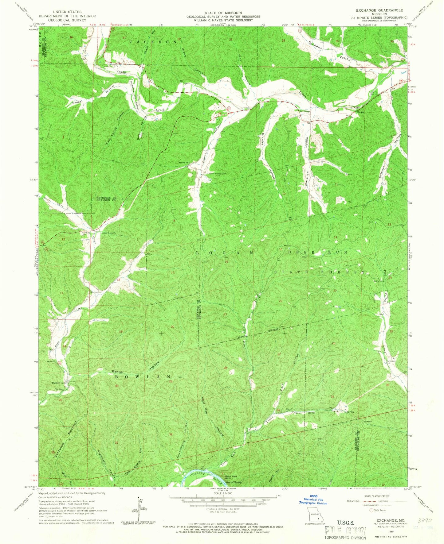
Classic USGS Exchange Missouri 7.5'x7.5' Topo Map
Couldn't load pickup availability
Historical USGS topographic quad map of Exchange in the state of Missouri. Map scale may vary for some years, but is generally around 1:24,000. Print size is approximately 24" x 27"
This quadrangle is in the following counties: Reynolds, Shannon.
The map contains contour lines, roads, rivers, towns, and lakes. Printed on high-quality waterproof paper with UV fade-resistant inks, and shipped rolled.
Contains the following named places: Antioch Church, Banker Cave, Banker Hollow, Brawley Hollow, Brown Hollow, Burnham Cemetery, Cardareva Mountain, Carr Creek Airport, Carr Creek Church, Cave Spring Hollow, Christian Hollow, Coleman Hollow, Dark Hollow, Deer Run State Forest, Deslet, Dickens Valley, Emmel Hollow, Exchange, Exchange School, Gravel Spring, Huckleberry Hollow, John Hollow, Little Paint Rock Creek, Lower Carr Creek School, Massie Cemetery, Paint Rock Bluff, Paint Rock Creek, Paint Rock River Access, Paint Rock School, Pete Shanty Hollow, Pumpkin Hollow, Pumpkin Hollow Cemetery, Rumburg Cemetery, Sloan Hollow, Sloan School, Street Hollow, Wolf Pen Hollow, ZIP Code: 63638


