MyTopo
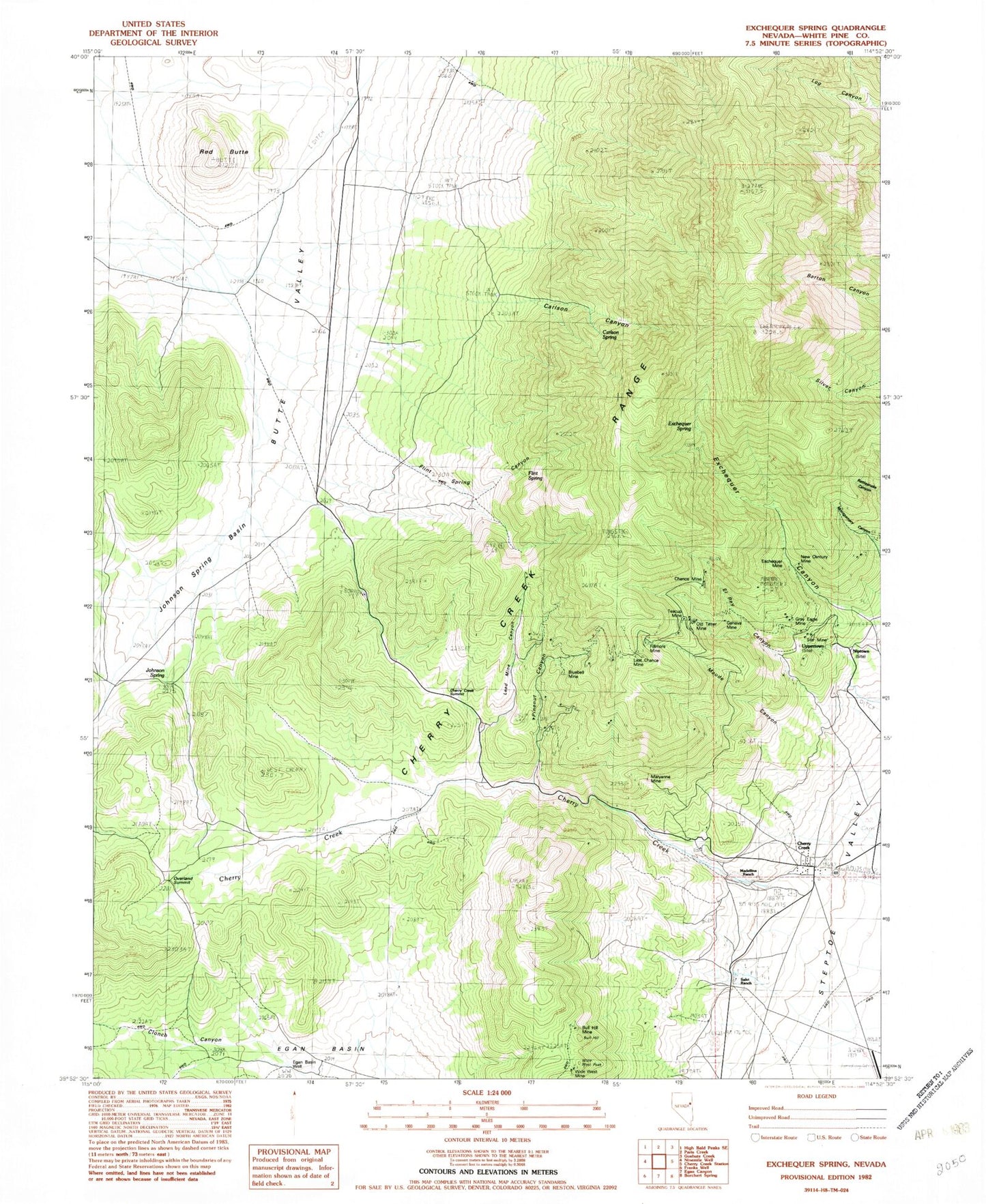
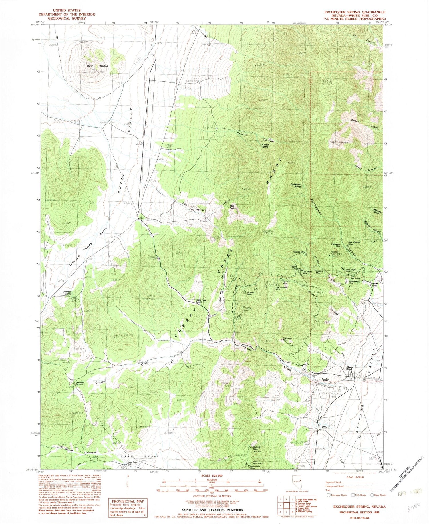
Classic USGS Exchequer Spring Nevada 7.5'x7.5' Topo Map
Couldn't load pickup availability
Historical USGS topographic quad map of Exchequer Spring in the state of Nevada. Typical map scale is 1:24,000, but may vary for certain years, if available. Print size: 24" x 27"
This quadrangle is in the following counties: White Pine.
The map contains contour lines, roads, rivers, towns, and lakes. Printed on high-quality waterproof paper with UV fade-resistant inks, and shipped rolled.
Contains the following named places: Star Mine, Egan Basin Well, Overland Summit, Wide West Peak, Bull Hill, Bull Hill Mine, Salvi Ranch, Madellina Ranch, Maryanne Mine, Niptown (historical), Uppertown (historical), Gray Eagle Mine, Geneva Mine, Old Timer Mine, New Century Mine, Exchequer Mine, Chance Mine, Maude Canyon, Fillmore Mine, Last Chance Mine, Bluebell Mine, Pinenut Canyon, Lead Mine Canyon, Cherry Creek Summit, Johnson Spring, Johnson Spring Basin, El Rey Canyon, Flint Spring, Flint Spring Canyon, Exchequer Spring, Carlson Spring, Carlson Canyon, Red Butte, Clonch Canyon, Cherry Creek Canyon, Happy Mine, Fera Fortysix, Cherry Spring, Calcite Mine, Teacup Mine, Cherry Creek Mining District, John Salvis Hot Spring, Cherry Creek, Cherry Creek Post Office (historical), Steptoe Valley Volunteer Fire Department


