MyTopo
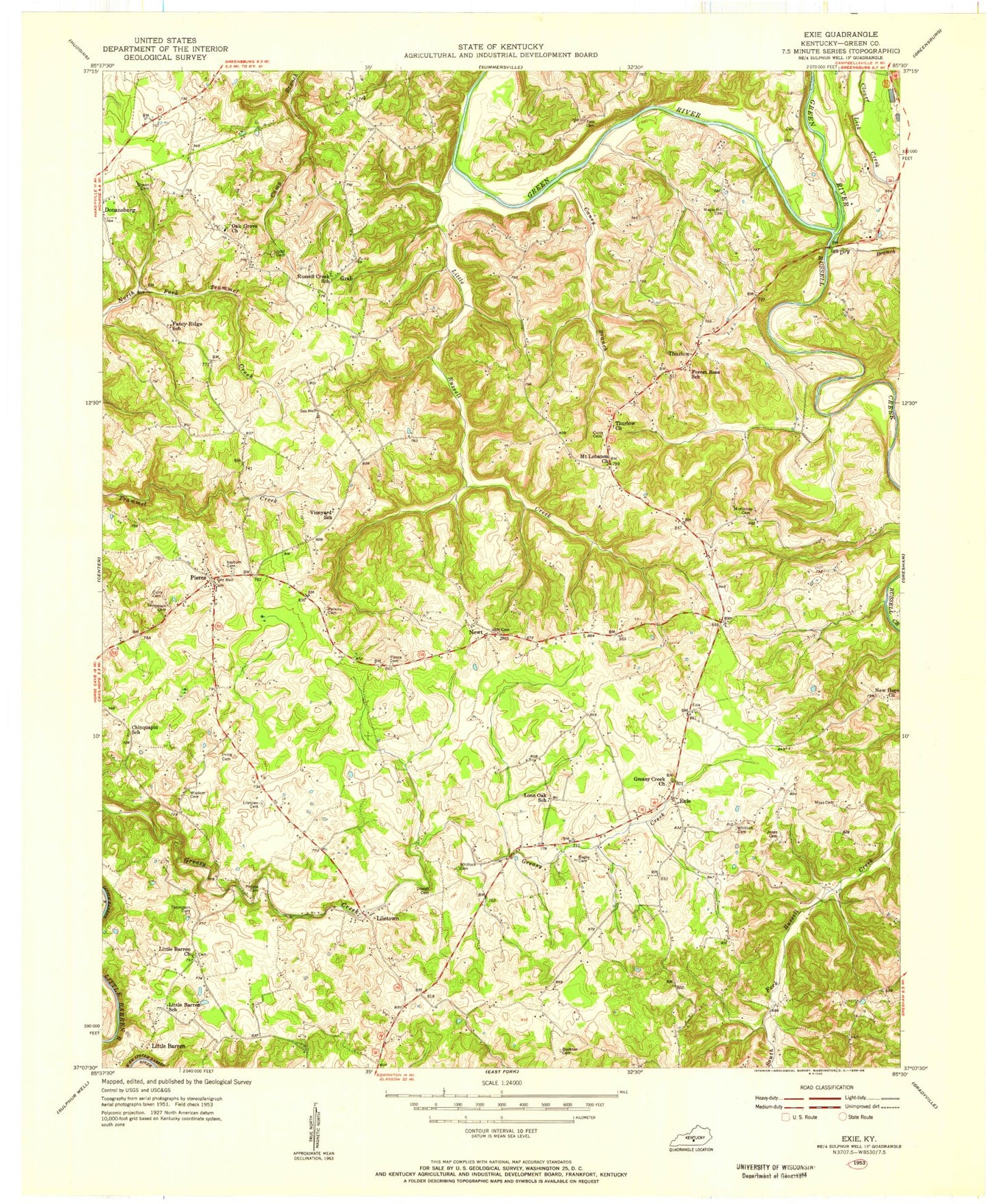
Classic USGS Exie Kentucky 7.5'x7.5' Topo Map
Couldn't load pickup availability
Historical USGS topographic quad map of Exie in the state of Kentucky. Map scale may vary for some years, but is generally around 1:24,000. Print size is approximately 24" x 27"
This quadrangle is in the following counties: Green.
The map contains contour lines, roads, rivers, towns, and lakes. Printed on high-quality waterproof paper with UV fade-resistant inks, and shipped rolled.
Contains the following named places: Archie Akin Blakeman Cemetery, Atwell Cemetery, Bagby Cemetery, Brownlee Hole, Buckner Cemetery, Caney Branch, Curry Cemetery, Donansburg Division, Dowell Cemetery, Dry Branch, Exie, Exie Fire Department, Forest Rose School, Gowen Cemetery, Grab, Grab Fire Department, Greasy Creek Church, Houks Chapel, Irving Cemetery, Jones Cemetery, Judd Cemetery, Lee Cemetery, Liletown, Liletown Cemetery, Little Barren, Little Barren Church, Little Barren School, Little Russell Creek, Lone Oak School, Maple Hill Cemetery, McKinney Cemetery, Moss Cemetery Number 1, Mount Lebanon Church, Neagle Cemetery Number 2, New Hope Church, Newt, Oak Grove Church, Perkins Cemetery, Philpot Cemetery Number 1, Pierce, Pierce Cemetery, Price Hole, Rayburn Cemetery, Russell Creek, Russell Creek School, Sandidge Cemetery, Thompson Cemetery, Thurlow, Thurlow Church, Vineyard School, Warf Cemetery, Whitlock Cemetery, Wisdom Cemetery, Young Cemetery, ZIP Code: 42743


