MyTopo
Classic USGS Explorer Peak Utah 7.5'x7.5' Topo Map
Couldn't load pickup availability
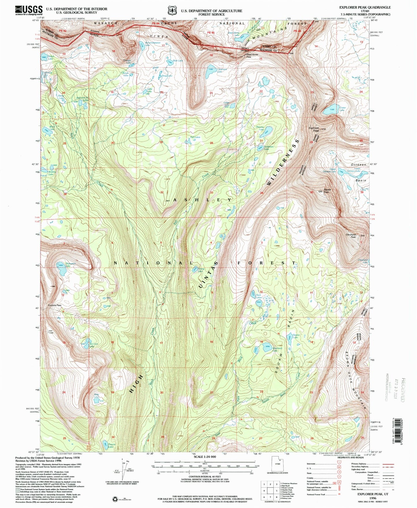
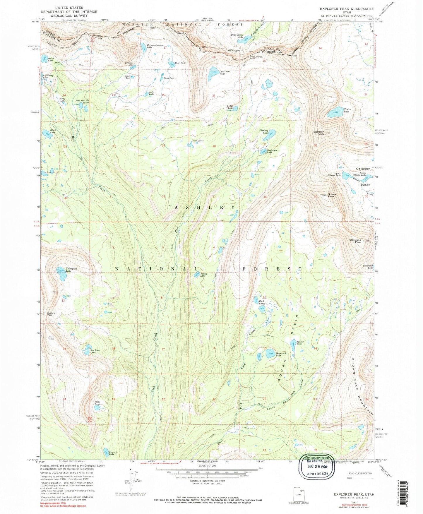
Historical USGS topographic quad map of Explorer Peak in the state of Utah. Typical map scale is 1:24,000, but may vary for certain years, if available. Print size: 24" x 27"
This quadrangle is in the following counties: Duchesne, Summit.
The map contains contour lines, roads, rivers, towns, and lakes. Printed on high-quality waterproof paper with UV fade-resistant inks, and shipped rolled.
Contains the following named places: Upper Ottoson Lake, Anderson Lake, Bench Lake, Black Lake, Boot Lake, Brinkley Lake, Cleveland Peak, Continent Lake, Crater Lake, Cyclone Pass, Dead Horse Lake, Dead Horse Pass, Doug Lake, Explorer Peak, Fall Creek, Fall Lakes, Francis Lake, Helen Lake, Jack and Jill Lakes, Jodie Lake, Ledge Lake, Lower Ottoson Lake, Ouray Lake, Phinney Lake, Reconnaissance Lake, Rock Lakes, Sea Lion Lake, Shamrock Lake, Slide Lake, Squaw Basin, Squaw Basin Creek, Squaw Lake, Squaw Peak, Thompson Lake, Triangle Lake, Young Lake, Big Meadow, Big Meadow Forest Service Station