MyTopo
USGS Classic Explorers Monument Arizona 7.5'x7.5' Topo Map
Couldn't load pickup availability
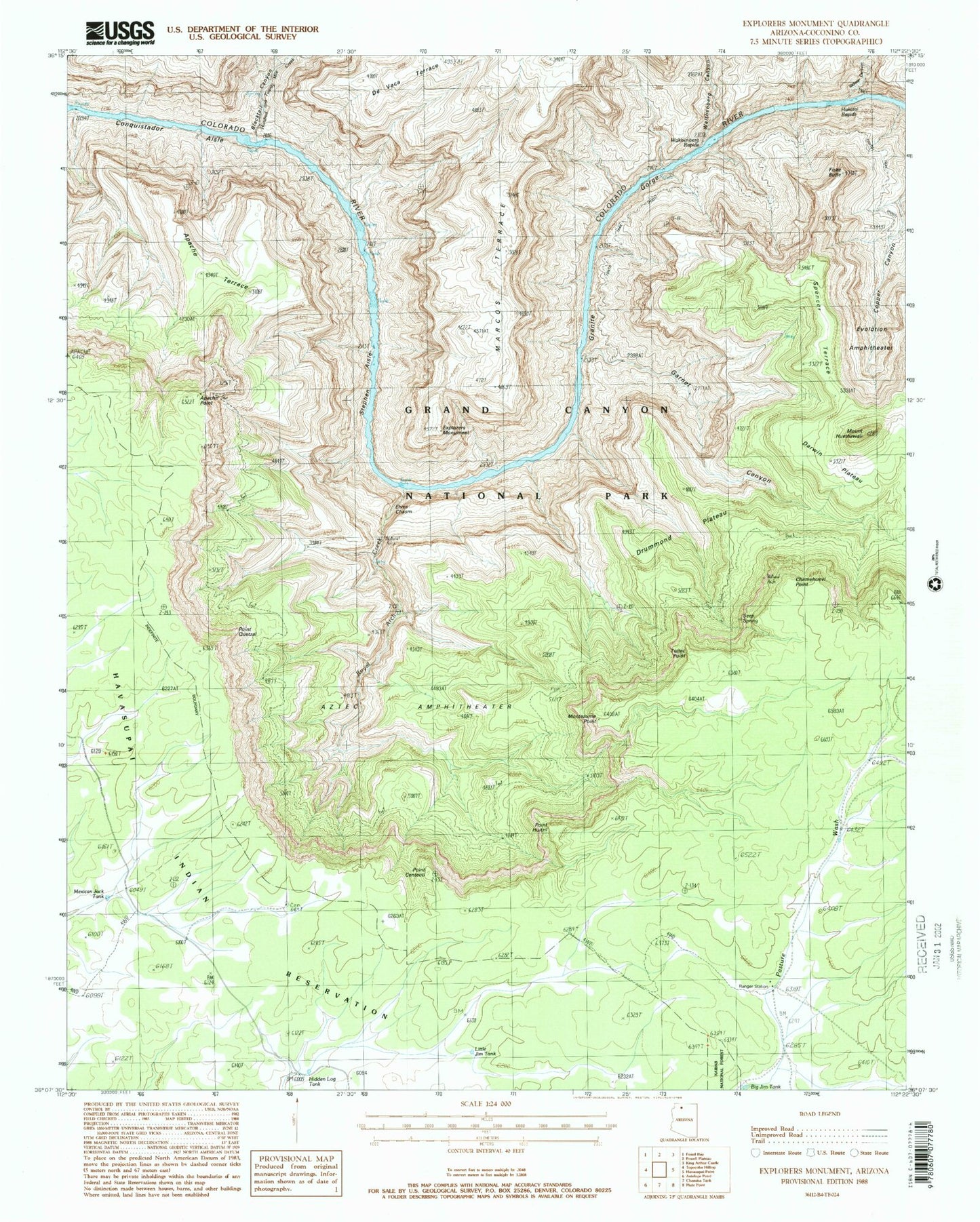
Historical USGS topographic quad map of Explorers Monument in the state of Arizona. Scale: 1:24000. Print size: 24" x 27"
This quadrangle is in the following counties: Coconino.
The map contains contour lines, roads, rivers, towns, lakes, and grids including latitude / longitude and UTM / MGRS. Printed on high-quality waterproof paper with UV fade-resistant inks.
Contains the following named places: Walthenberg Canyon, Apache Point, Apache Terrace, Aztec Amphitheater, Big Jim Tank, Blacktail Canyon, Chemehuevi Point, Conquistador Aisle, Darwin Plateau, De Vaca Terrace, Drummond Plateau, Elves Chasm, Evolution Amphitheater, Explorers Monument, Fiske Butte, Garnet Canyon, Granite Gorge, Hakatai Canyon, Hakatai Rapids, Hidden Log Tank, Mount Huethawali, Hundred and Twenty Mile Creek, Marcos Terrace, Mexican Jack Tank, Montezuma Point, Pasture Wash Ranger Station, Point Centeotl, Point Huitzil, Point Quetzal, Royal Arch Creek, Seep Spring, Spencer Terrace, Stephen Aisle, Toltec Point, Walthenberg Rapids, Mystic Spring, Centeotl Point, Royal Arch


