MyTopo
Classic USGS Ezel Kentucky 7.5'x7.5' Topo Map
Couldn't load pickup availability
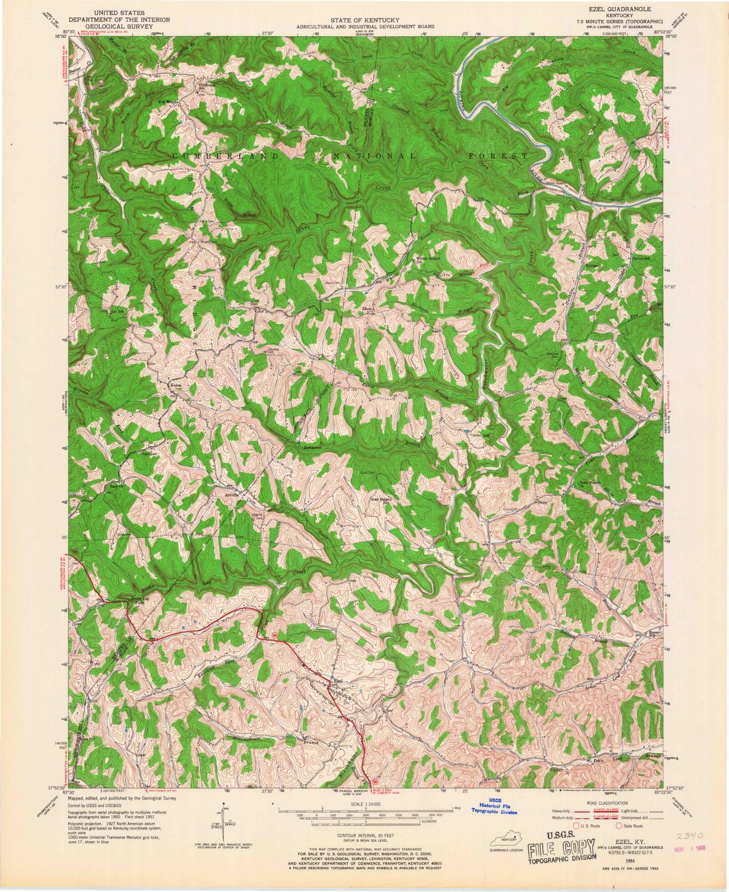
Historical USGS topographic quad map of Ezel in the state of Kentucky. Map scale may vary for some years, but is generally around 1:24,000. Print size is approximately 24" x 27"
This quadrangle is in the following counties: Menifee, Morgan.
The map contains contour lines, roads, rivers, towns, and lakes. Printed on high-quality waterproof paper with UV fade-resistant inks, and shipped rolled.
Contains the following named places: Apple Post Office, Arnette Post Office, Artville, Artville Post Office, Back, Back Cemetery, Back Church, Back School, Baldwin Creek, Big Sinking Creek, Big Woods, Big Woods Fire Department, Big Woods Post Office, Black Fork, Blackwater Creek, Blackwater Fire Department, Bonny School, Botts Ford, Broke Leg Creek, Broken Leg Falls, Bryant Cemetery, Camp Judy Layne, Cecil Cemetery, Cold Cave Creek, Coon Creek, Cox Cemetery, Craft, Dan, Dan Post Office, Dan Ridge, Dan Ridge Church, Devil Creek, Eaton Creek, Ebon, Ebon Post Office, Elder Post Office, Ezel, Ezel Census Designated Place, Ezel Lookout Tower, Ezel Post Office, Ezel School, Flaxseed Branch, Gladie Branch, Goad Cemetery, Goad Ride School, Goad Ridge, Grassy Creek Division, Greasy Fork, Higgins Cemetery, Hookpole Branch, Igo School, Jericho, Johnson Cemetery, Kellacey, Kellancey Post Office, Knocking Cave Creek, Korea, Korea Church of God, Korea Post Office, Lion Cave Branch, Longbow Marina, Lyons Cemetery, Mann Cemetery, McKinney Branch, Meetinghouse Branch, Murphy Post Office, Oklahoma School, Omer, Omer Post Office, Open Fork, Pekin, Pekin Post Office, Pekin School, Peyton School, Pine Grove, Pretty Branch, Ragstand Branch, Robinson Branch, Rough Branch, Sage Branch, Sexton Cemetery, Spaws Creek, Swetnam Post Office, Tarkiln Branch, Toms Branch Church, Vest Branch, Warm Fork, Whitaker Cemetery, Whites Branch, Whites Branch School, ZIP Codes: 40387, 41425


