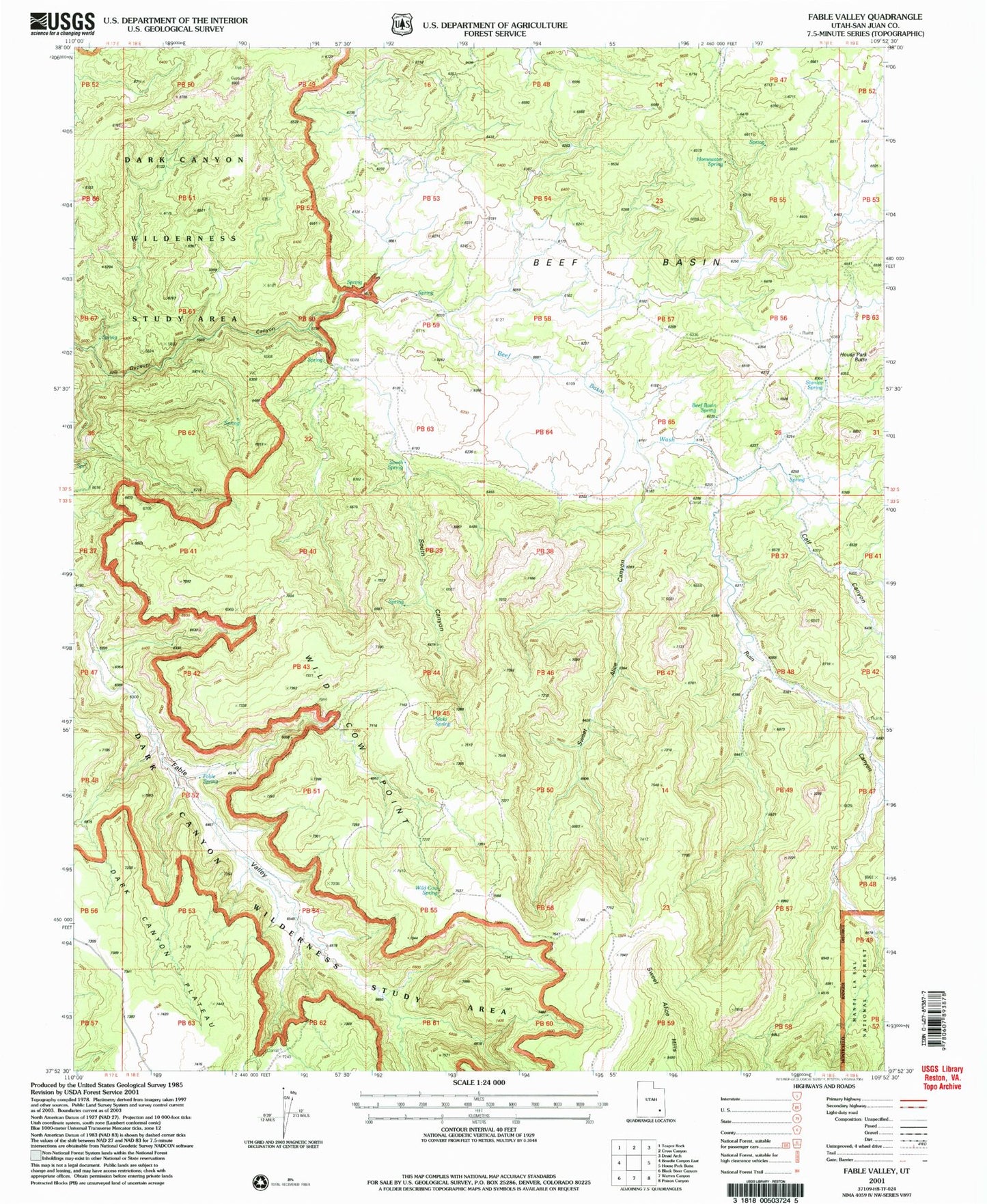
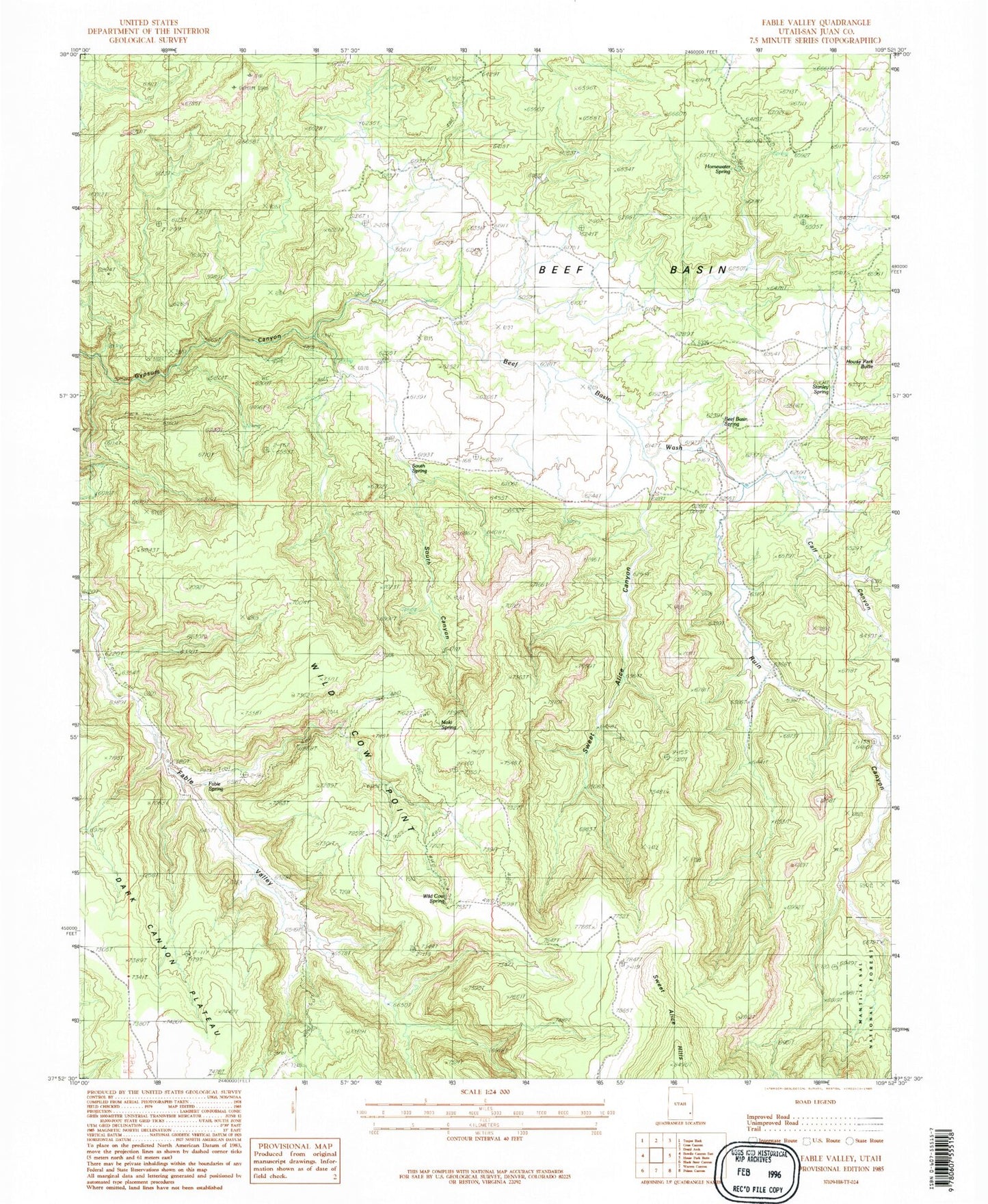
MyTopo
Classic USGS Fable Valley Utah 7.5'x7.5' Topo Map
Couldn't load pickup availability
Historical USGS topographic quad map of Fable Valley in the state of Utah. Typical map scale is 1:24,000, but may vary for certain years, if available. Print size: 24" x 27"
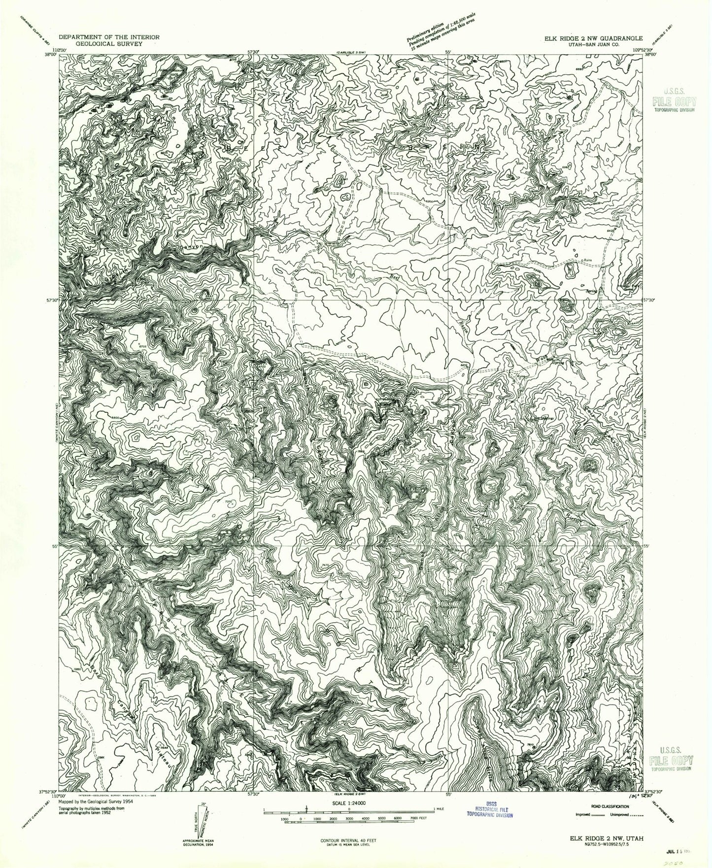
This quadrangle is in the following counties: San Juan.
The map contains contour lines, roads, rivers, towns, and lakes. Printed on high-quality waterproof paper with UV fade-resistant inks, and shipped rolled.
Contains the following named places: Sweet Alice Canyon, Beef Basin, Beef Basin Wash, Bull Canyon, Calf Canyon, Fable Spring, South Canyon, Wild Cow Point, Beef Basin Spring, Homewater Spring, Moki Spring, South Spring, Stanley Spring, Wild Cow Spring, Fable Valley, Ruin Canyon, Sweet Alice Hills, Aesops Arch, Sweet Alice Canyon, Beef Basin, Beef Basin Wash, Bull Canyon, Calf Canyon, Fable Spring, South Canyon, Wild Cow Point, Beef Basin Spring, Homewater Spring, Moki Spring, South Spring, Stanley Spring, Wild Cow Spring, Fable Valley, Ruin Canyon, Sweet Alice Hills, Aesops Arch