MyTopo
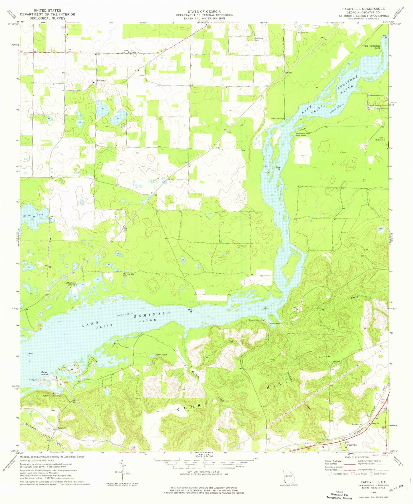
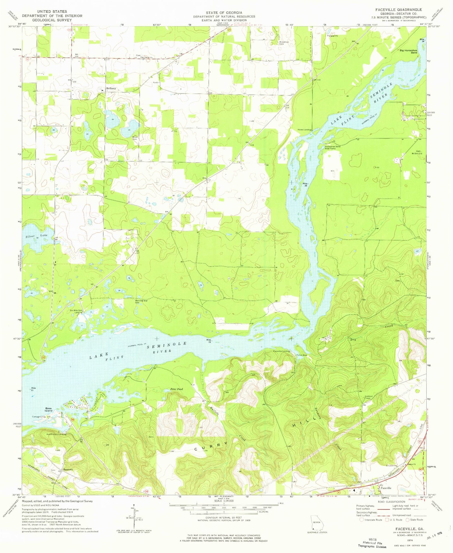
Classic USGS Faceville Georgia 7.5'x7.5' Topo Map
Couldn't load pickup availability
Historical USGS topographic quad map of Faceville in the state of Georgia. Map scale may vary for some years, but is generally around 1:24,000. Print size is approximately 24" x 27"
This quadrangle is in the following counties: Decatur.
The map contains contour lines, roads, rivers, towns, and lakes. Printed on high-quality waterproof paper with UV fade-resistant inks, and shipped rolled.
Contains the following named places: Bass Island, Bethany, Bethany Church, Bethany Church Cemetery, Big Horseshoe Bend, Breedlove Cemetery, Butlers Creek, Decatur County Fire and Rescue Station 240, Decatur County Fire Department and Rescue Station 275, Dry Creek, Faceville, Faceville Census Designated Place, Faceville Division, Faceville Landing, Fellowship Church, Fellowship Church Cemetery, Hales Landing, Horseshoe Bend Boat Ramp, Hutchinson Landing, Hutchinsons Ferry, Kendrick Volunteer Fire Department and Rescue Station 260, L and N Poultry Farm, Mock Cemetery, Morning Star Cemetery, Mount Gilead Church, Mount Gilead Church Cemetery, Mount Zion Church, Muddy Springs, Pattersons Landing, Peter Pond, Recovery, Saint Lukes Church, Salem Church, Sanborn Creek, Ten Mile Still Landing, ZIP Code: 39819