MyTopo
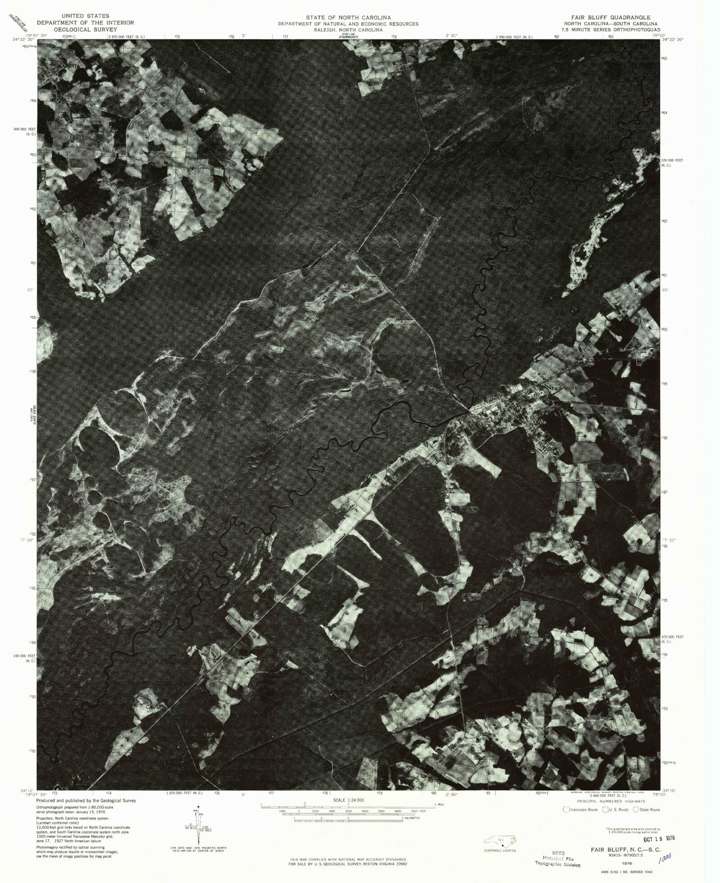
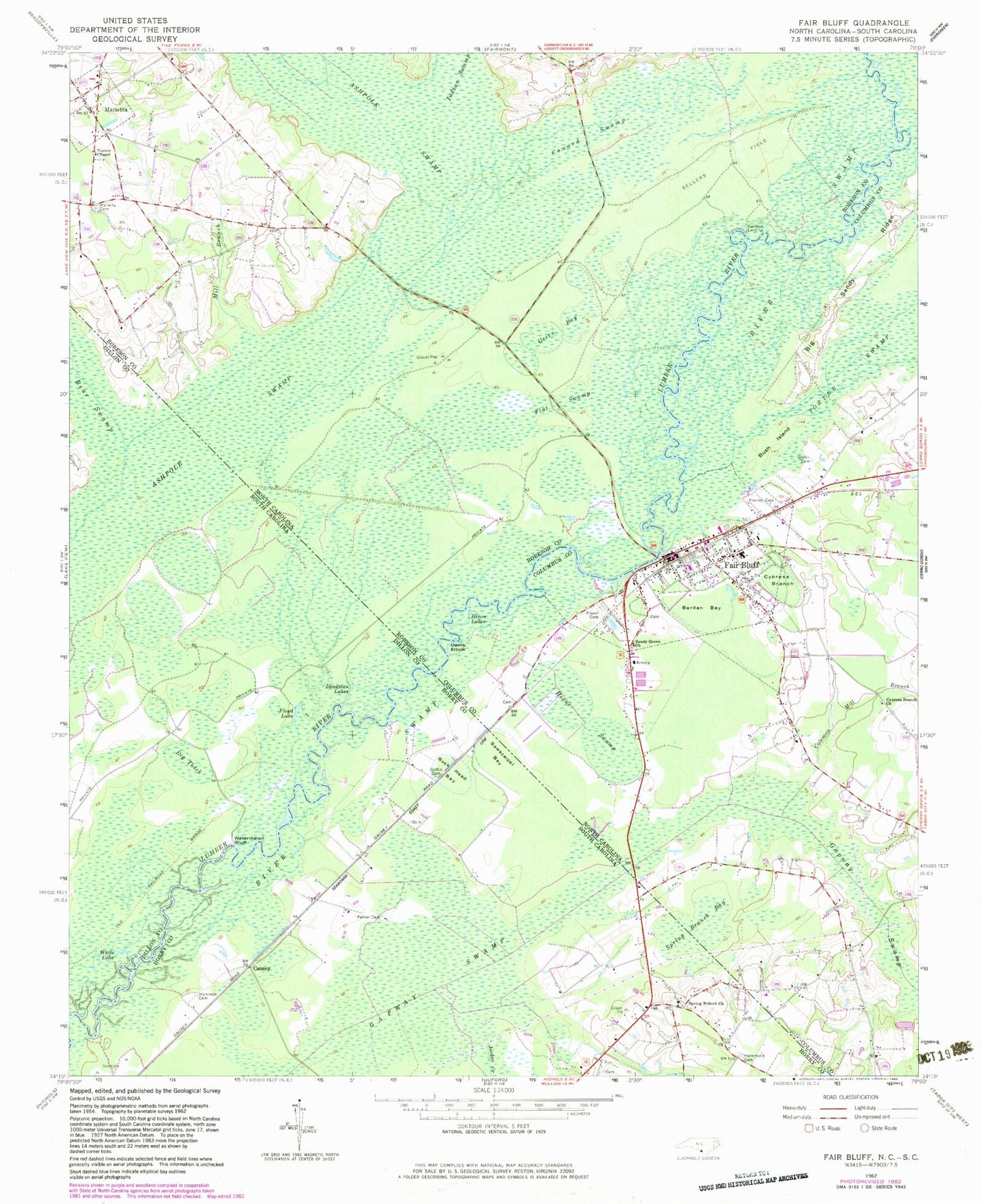
Classic USGS Fair Bluff North Carolina 7.5'x7.5' Topo Map
Couldn't load pickup availability
Historical USGS topographic quad map of Fair Bluff in the states of North Carolina, South Carolina. Map scale may vary for some years, but is generally around 1:24,000. Print size is approximately 24" x 27"
This quadrangle is in the following counties: Columbus, Dillon, Horry, Robeson.
The map contains contour lines, roads, rivers, towns, and lakes. Printed on high-quality waterproof paper with UV fade-resistant inks, and shipped rolled.
Contains the following named places: Ashpole Swamp, Barden Bay, Bear Swamp, Big Sandy Ridge, Big Thick, Buck Head Bay, Bush Island, Butler Branch Baptist Church, Causey, Coleman Mill Branch, Coward Swamp, Cypress Branch, Cypress Branch Church, Deadman Lakes, Devils Elbow, Fair Bluff, Fair Bluff Baptist Church, Fair Bluff Elementary School, Fair Bluff Fire Department, Fair Bluff Police Department, Fair Bluff Post Office, Fair Bluff Rescue Squad, Fair Bluff Wastewater Treatment Plant, Flat Swamp, Floyd Lake, Gapway Swamp, Green Bay, Griffin Cemetery, Hammon Cemetery, Hammond Cemetery, Heron Lakes, Hickory Grove Baptist Church, Horne Swamp, Indian Swamp, Jordan Creek, Marietta, Marietta Cemetery, Marietta Post Office, Marietta Township, Meares Cemetery, Mill Branch, Parker Cemetery, Powell Cemetery, River Swamp, Sandy Grove Church, Sawscalpel Bay, Sellers Field, Spring Branch Bay, Spring Branch Church, Spring Branch School, Strickland Field, Sundays Landing, Town of Fair Bluff, Town of Marietta, Township of Fair Bluff, Turner Chapel, Watermelon Bluff, White Lake, WWKO-AM (Fair Bluff), ZIP Code: 28439


