MyTopo
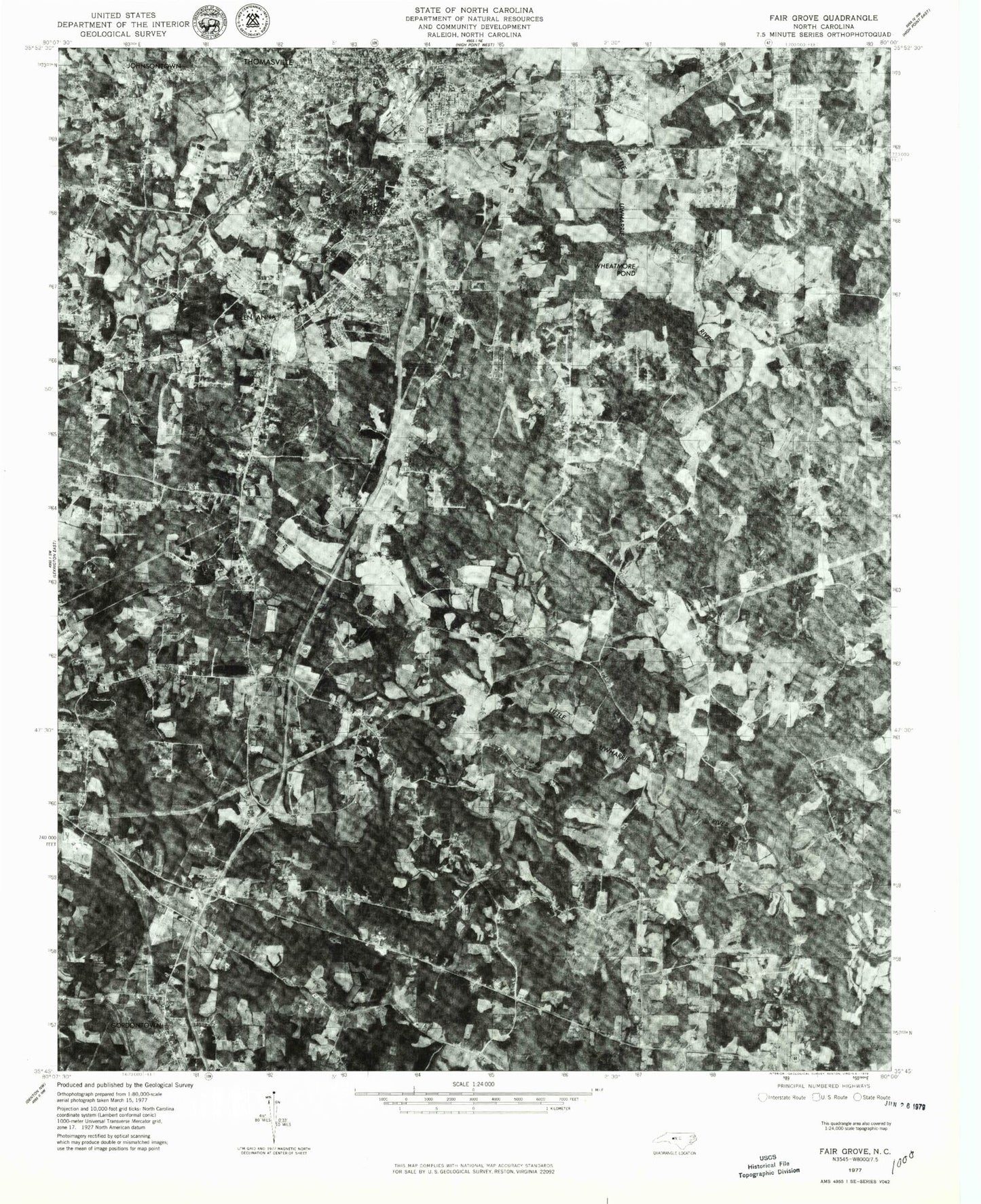
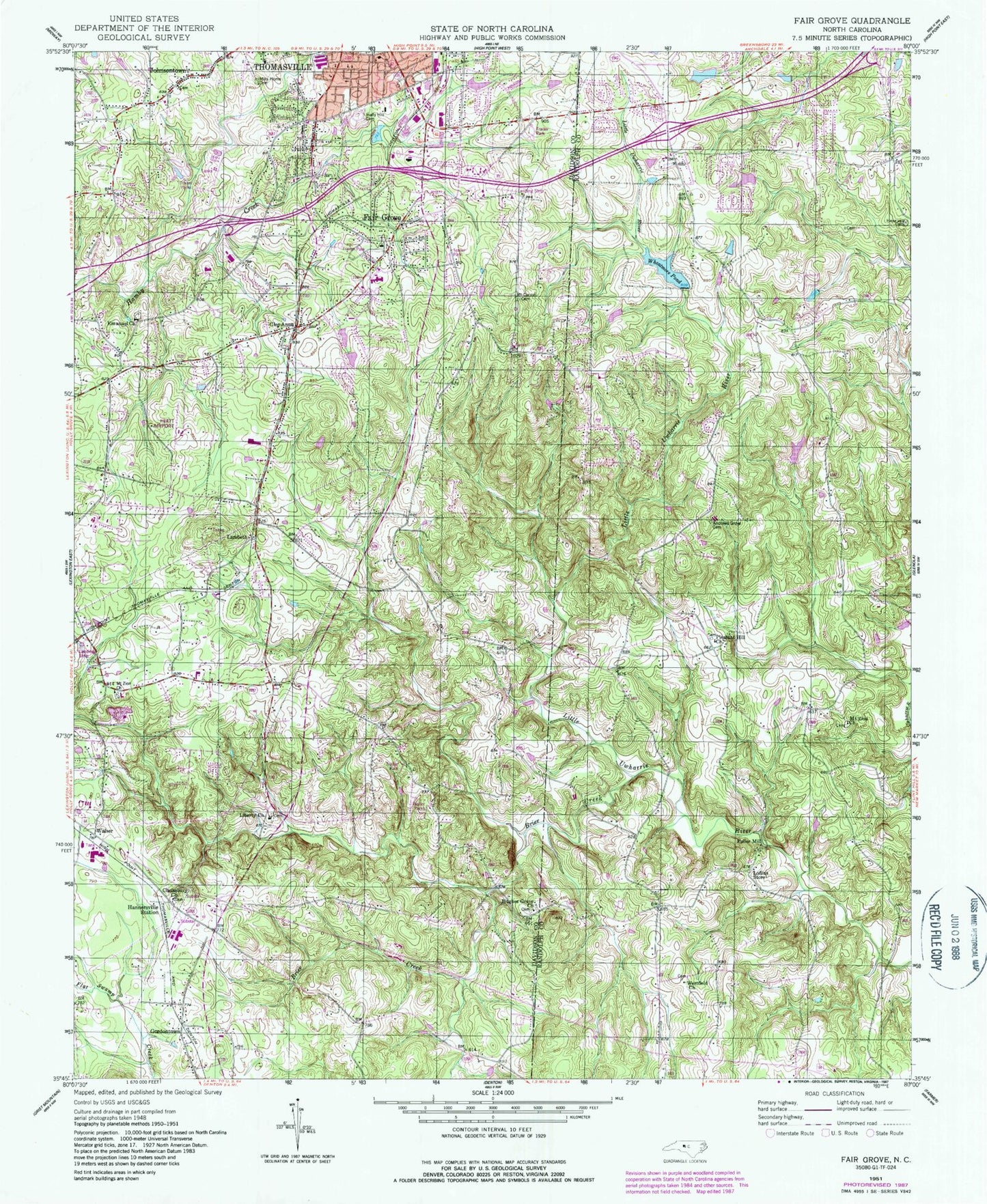
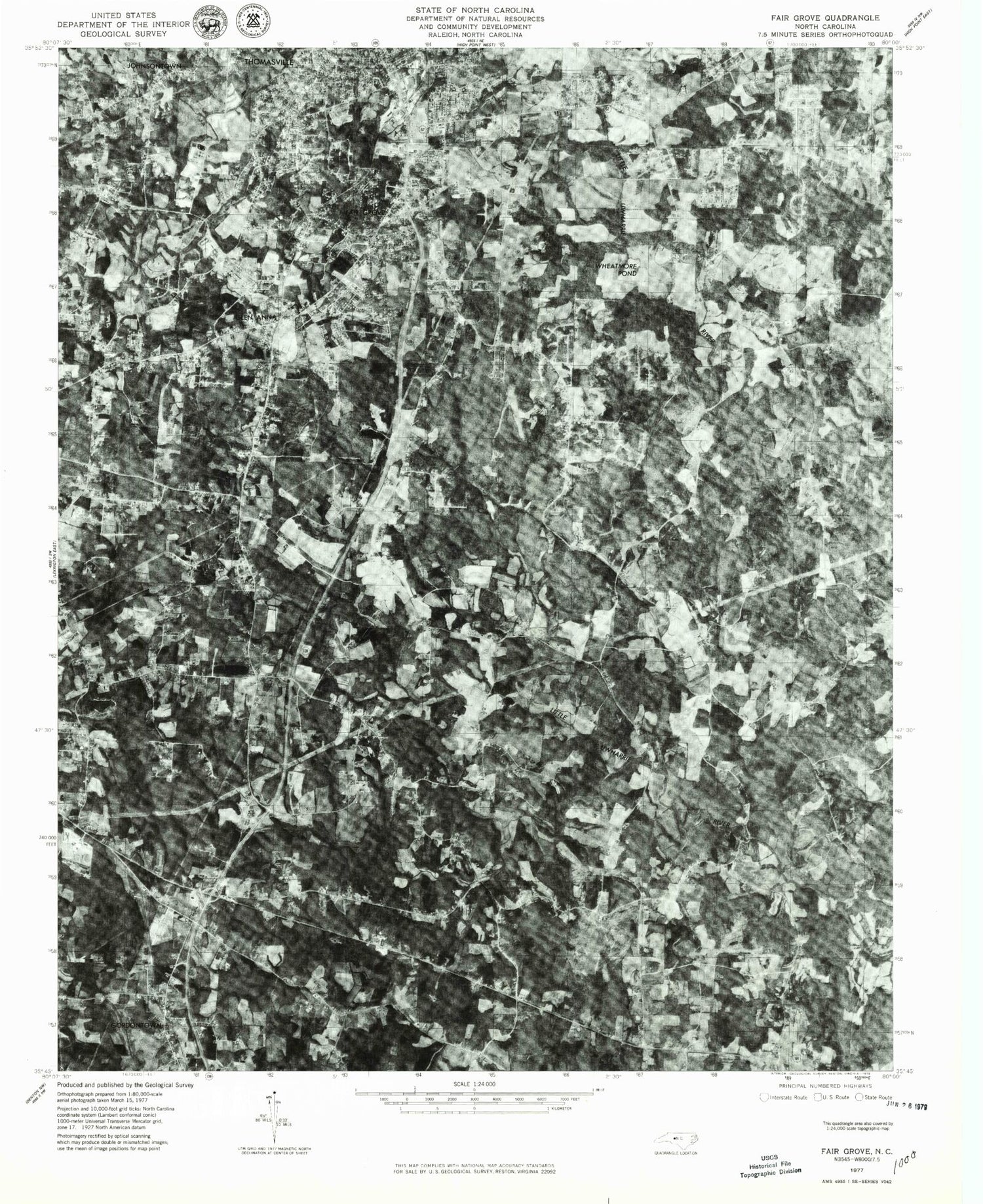
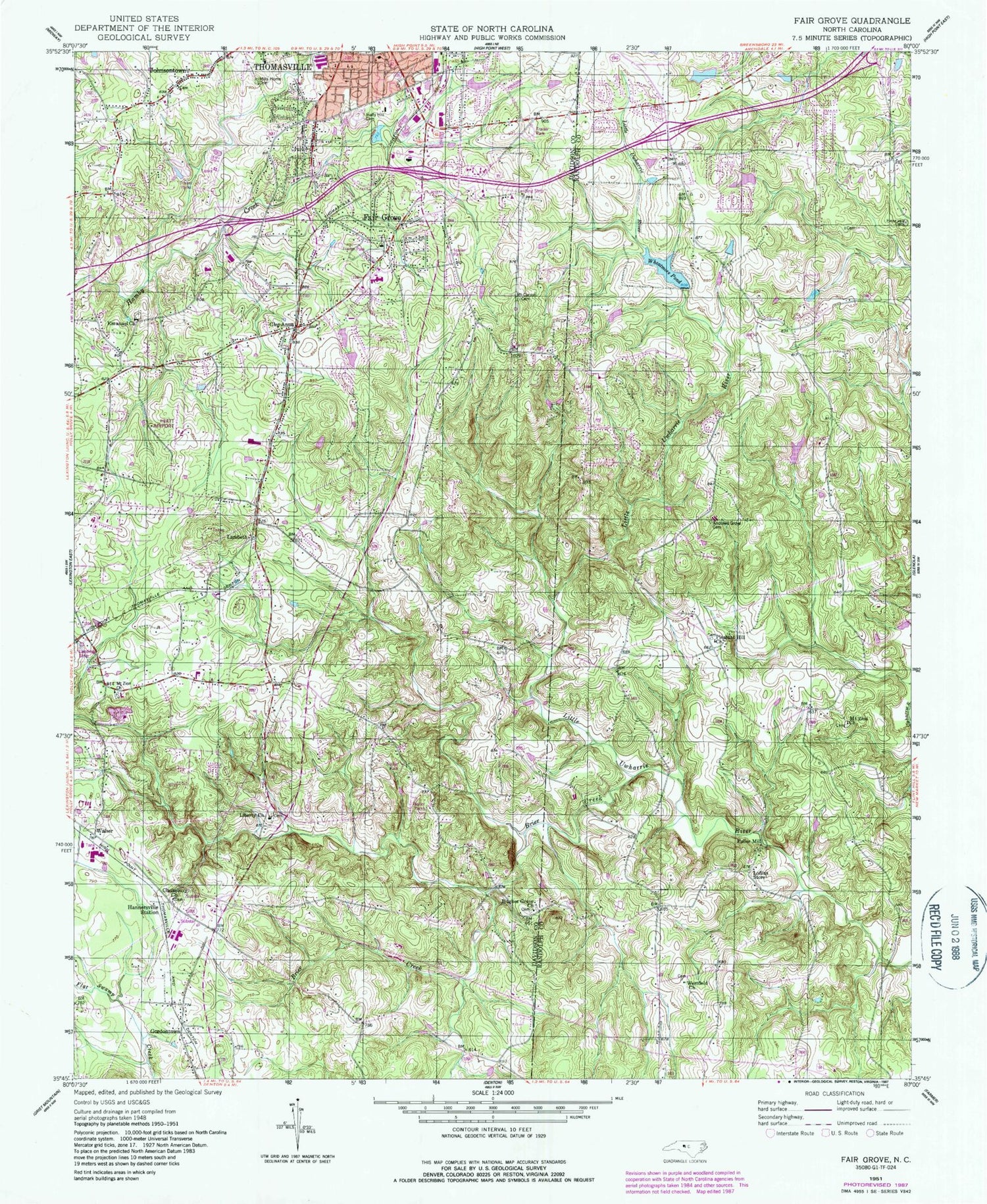
Classic USGS Fair Grove North Carolina 7.5'x7.5' Topo Map
Couldn't load pickup availability
Historical USGS topographic quad map of Fair Grove in the state of North Carolina. Typical map scale is 1:24,000, but may vary for certain years, if available. Print size: 24" x 27"
This quadrangle is in the following counties: Davidson, Randolph.
The map contains contour lines, roads, rivers, towns, and lakes. Printed on high-quality waterproof paper with UV fade-resistant inks, and shipped rolled.
Contains the following named places: Andrews Grove Cemetery, Andrews Grove Church, Brier Creek, Clarksbury Church, Emanuel United Church of Christ, Glen Anna, Gordontown, Hannersville Station, Holly Hill Memorial Park Cemetery, Hughes Grove Baptist Church, Johnsontown, Liberty Baptist Church, Loflins Store, Mills Home Cemetery, Mount Carmel Cemetery, Mount Zion Church, Mount Zion Wesleyan Church, North Hamby Creek, Pleasant Hill Church, Westfield Church, Wheatmore Pond, Quiet Acres Airport, Hiatt Airport, Childers Airport (historical), Fairgrove Airport (historical), Thomas Lake, Thomas Lake Dam, Wheatmore Farm Lake Dam, Mendenhall Lake, Mendenhall Dam, Bob Cat Acres Lake, Bob Cat Acres Lake Dam, Eden (historical), E Lawson Brown Junior High School, Fair Grove School, Fullerdale, Plummer Creek, Walser, Fair Grove, Fuller Mill, East Davidson High School, Light, Bethany Baptist Church, Cedar Lodge Baptist Church, Faith Chapel Church, Hillside Park Baptist Church, Johnsontown Methodist Church, Kennedy Road Free Will Baptist Church, Emanuel Cemetery, Fair Grove Cemetery, Fair Grove Methodist Church, Fair Grove Fire Department Substation 45, Fair Grove Fire Department HQ Station 43, Thomasville Fire Department Station 2, Guil - Rand Fire Department Station 39


