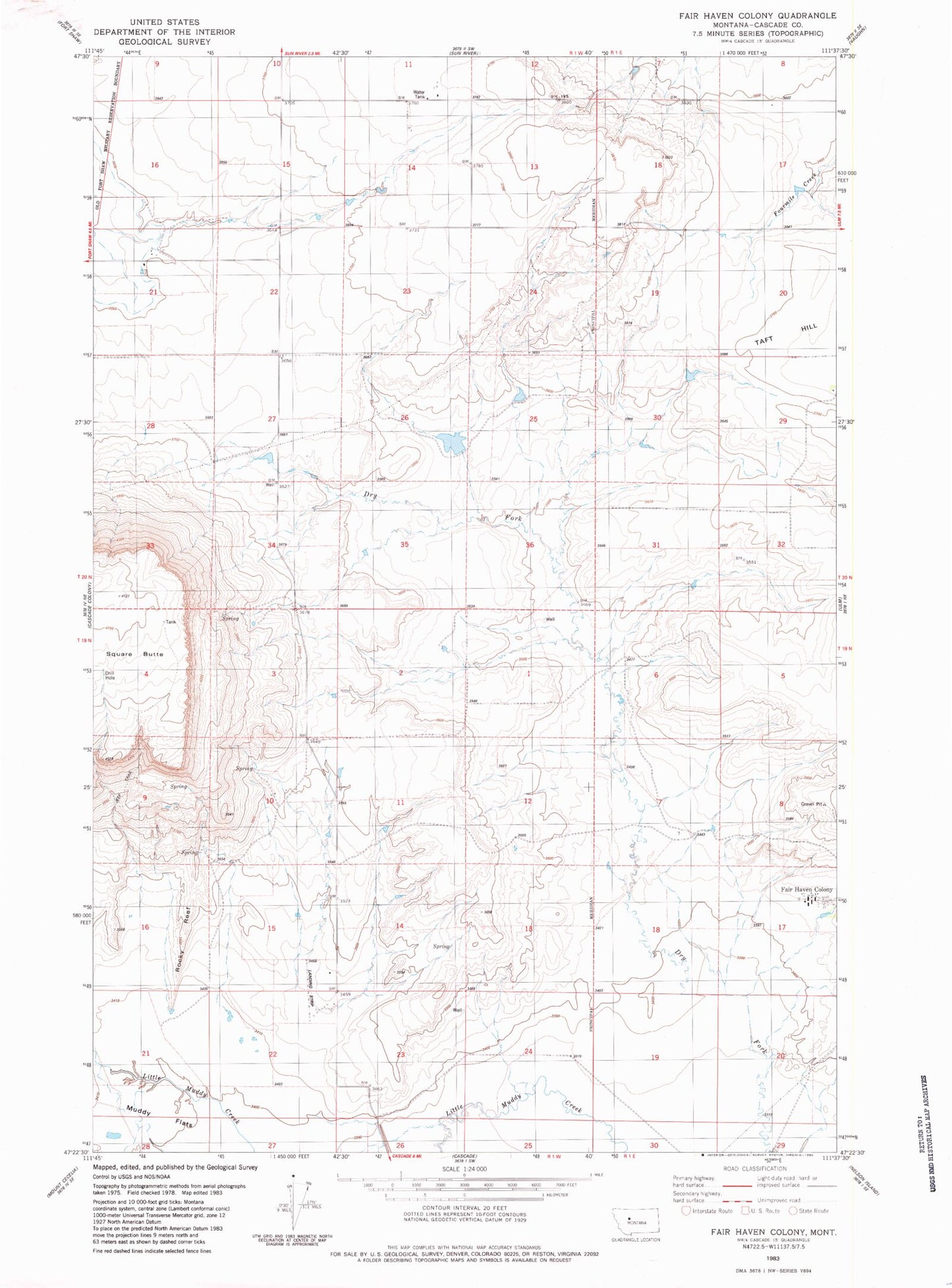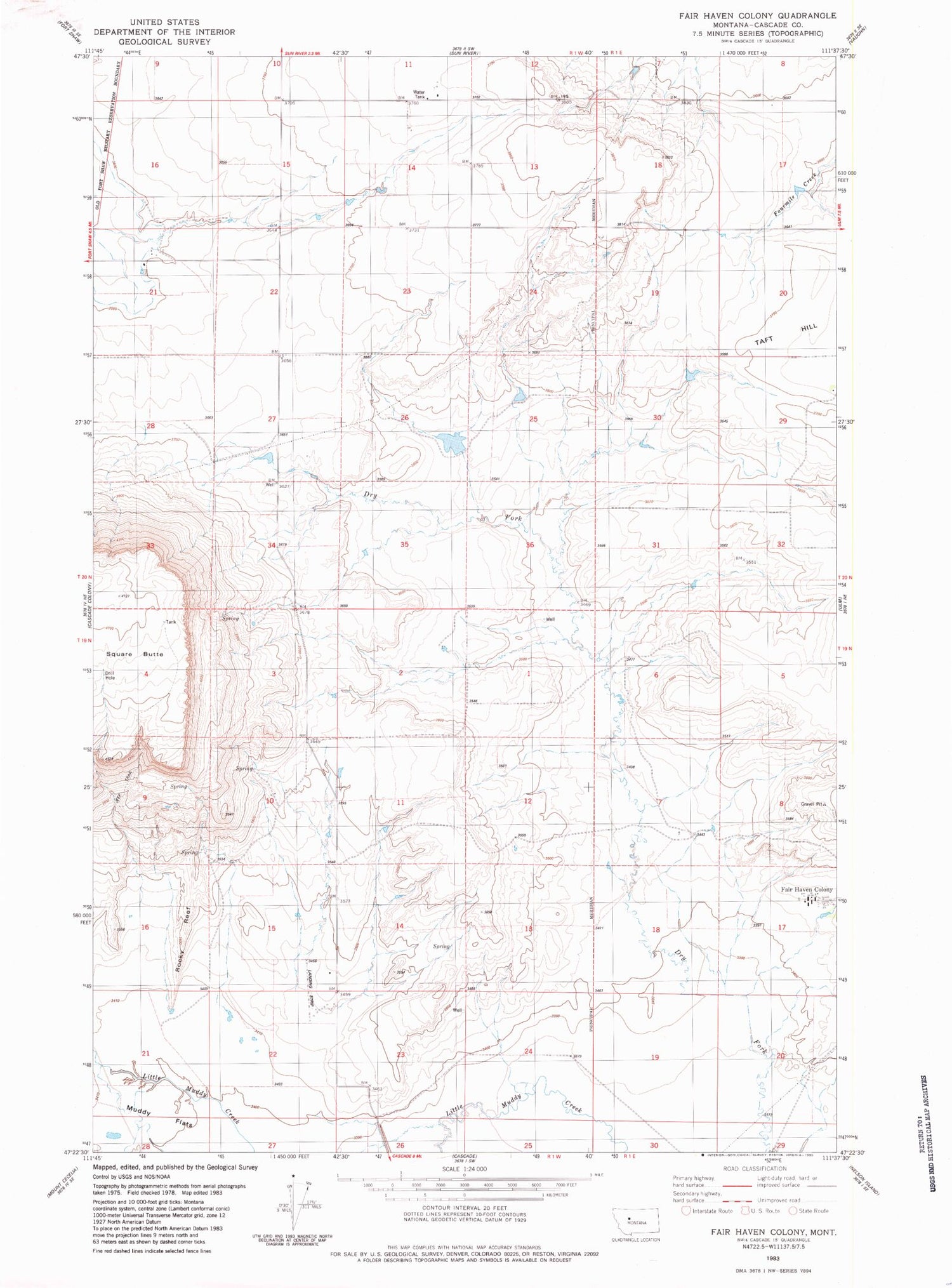
MyTopo
Classic USGS Fair Haven Colony Montana 7.5'x7.5' Topo Map
Couldn't load pickup availability
Historical USGS topographic quad map of Fair Haven Colony in the state of Montana. Map scale may vary for some years, but is generally around 1:24,000. Print size is approximately 24" x 27"
This quadrangle is in the following counties: Cascade.
The map contains contour lines, roads, rivers, towns, and lakes. Printed on high-quality waterproof paper with UV fade-resistant inks, and shipped rolled.
Contains the following named places: 19N01E05B___01 Spring, 19N01E07D___01 Well, 19N01E17A___01 Well, 19N01W01B___01 Well, 19N01W02A___01 Well, 19N01W12B___01 Well, 19N01W21B___01 Well, 19N01W22A___01 Well, 19N01W22A___02 Well, 20N01W27A___01 Well, 20N01W34B___01 Well, 20N01W35B___01 Well, 59483, Cascade Muddy School, Dry Fork Fairhaven Number 1 Dam, Fair Haven Colony, Fair Haven Colony Census Designated Place, Fairhaven Colony School, Gibbons School, GMG Dam, Square Butte