MyTopo
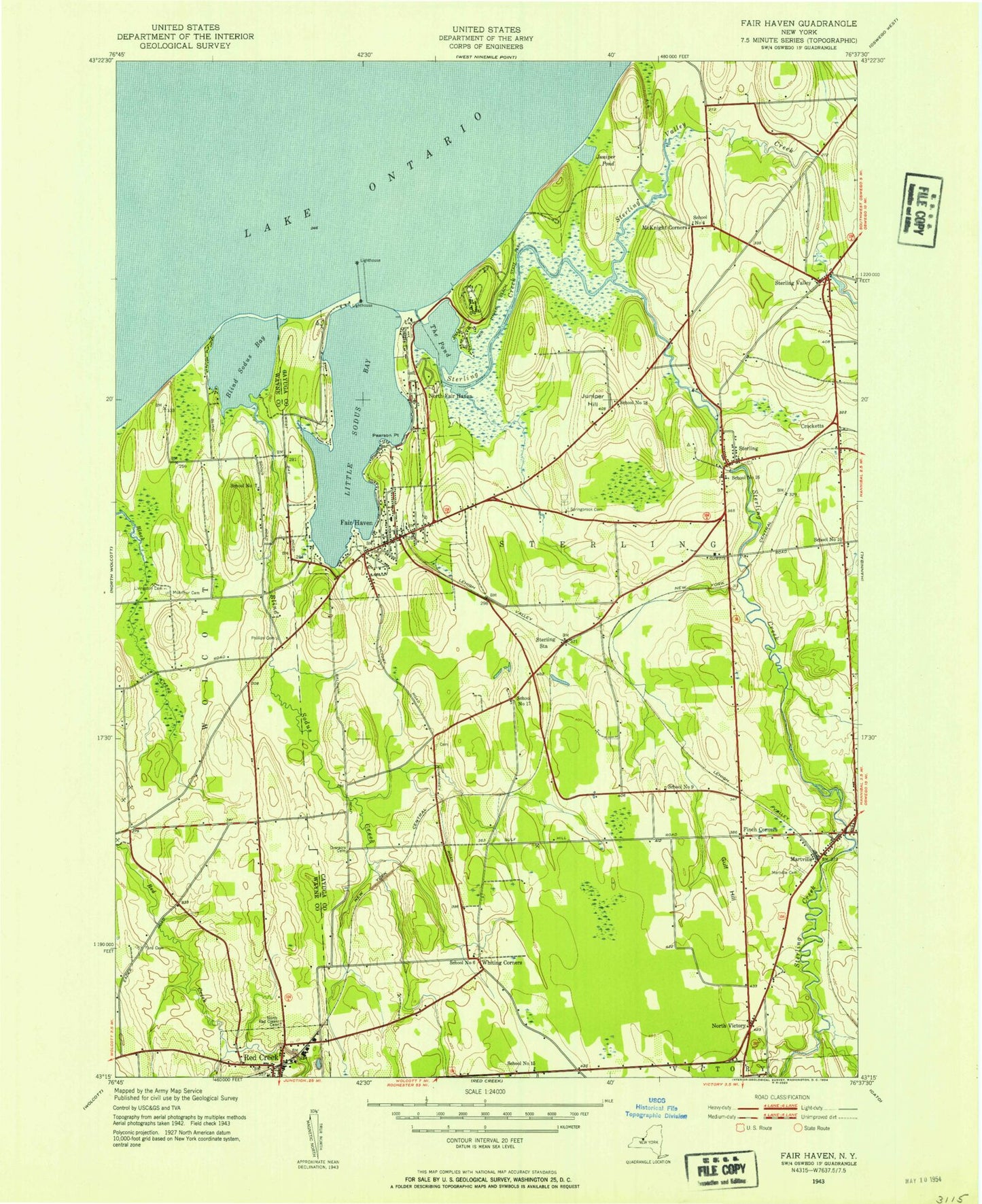
Classic USGS Fair Haven New York 7.5'x7.5' Topo Map
Couldn't load pickup availability
Historical USGS topographic quad map of Fair Haven in the state of New York. Map scale may vary for some years, but is generally around 1:24,000. Print size is approximately 24" x 27"
This quadrangle is in the following counties: Cayuga, Wayne.
The map contains contour lines, roads, rivers, towns, and lakes. Printed on high-quality waterproof paper with UV fade-resistant inks, and shipped rolled.
Contains the following named places: Anchor Resort and Marina, Blind Sodus Bay, Blind Sodus Creek, Busters Boat Base, Calvary Church, Chinook Harbor Marina, Community Burial Ground, Crocketts, Crocketts Hill Farm, Duncans Corners, Eldridges Point, Fair Haven, Fair Haven Beach State Park, Fair Haven Fire Department, Fair Haven Post Office, Fair Haven Public Library, Fair Mount Cemetery, Fintches Corners, Forscutt Cemetery, Fox Point, Grant's Vacation Park Recreational Vehicle and Mobile Home Park, Grass Island, Grays Corners, Gulf Hill, Harbor View Marina, Holiday Harbor Marina, Juniper Hill, Juniper Pond, Kevilles Hill, Little Sodus Bay, Livingston Cemetery, Martville, Martville Cemetery, Martville Post Office, McArthur Cemetery, McIntyres Bluff, McKnight Corners, Meadow Cove, North Fair Haven, North Victory, Overacre Cemetery, Pearson Point, Phillips Cemetery, Pond Hundred, Red Volunteer Creek Fire Department, Sabin Point, School Number 10, School Number 15, School Number 16, School Number 17, School Number 18, School Number 2, School Number 4, School Number 6, School Number 7, School Number 9, Sidmans Hill, Sitts Bluff, Springbrook Cemetery, Springbrook Chapel, Springbrook Greens Golf Course, Sterling, Sterling Creek, Sterling Post Office, Sterling Station, Sterling Valley, Sterling Valley Creek, The Bluffs, The Boathouse Ramp, The Moat, The Pond, The Ridge, Town of Sterling, Village of Fair Haven, Village of Fair Haven Ambulance, Whiting Corners, Wilde Hill, Zappala Farms, ZIP Codes: 13064, 13156


