
MyTopo
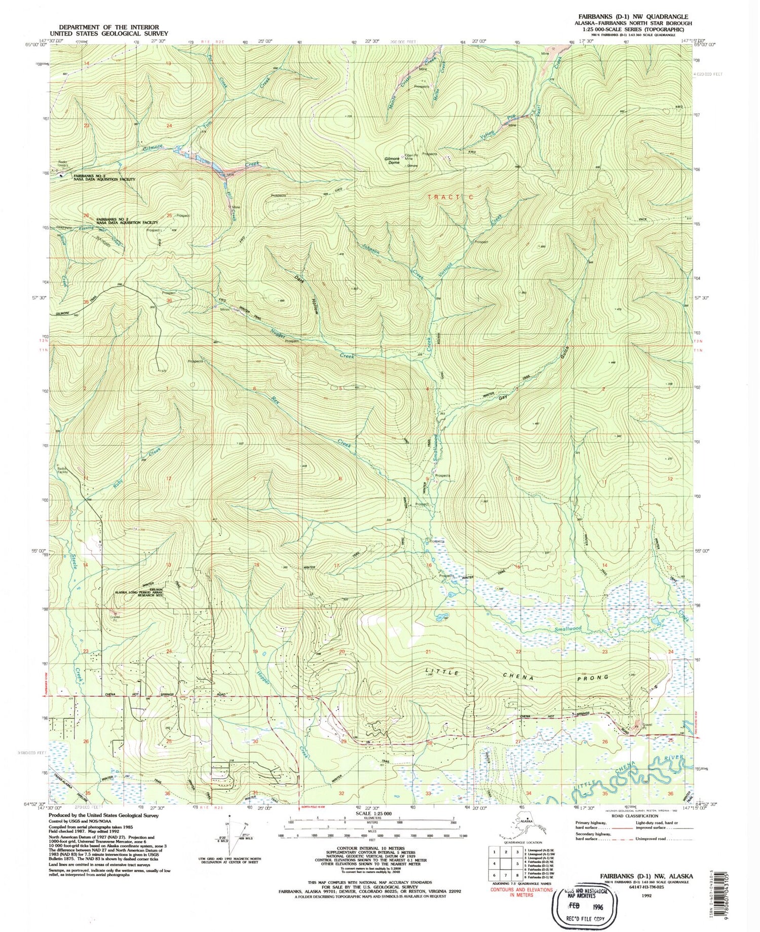
Classic USGS Fairbanks D-1 NW Alaska 7.5'x7.5' Topo Map
Couldn't load pickup availability
Historical USGS topographic quad map of Fairbanks D-1 NW in the state of Alaska. Map scale may vary for some years, but is generally around 1:24,000. Print size is approximately 24" x 27"
This quadrangle is in the following counties: Fairbanks North Star.
The map contains contour lines, roads, rivers, towns, and lakes. Printed on high-quality waterproof paper with UV fade-resistant inks, and shipped rolled.
Contains the following named places: Dark Hollow, Evening Star Creek, Gay Gulch, Gilmore Dome, Hill Creek, Johnson Creek, Little Chena Prong, Melba Creek, Monte Cristo Creek, Moose Creek, NASA Tracking Station Dam Number 1, NASA Tracking Station Dam Number 2, Nugget Creek, Pat Creek, Rex Creek, Ruby Creek, Steele Creek Census Designated Place, Tom Creek, Victoria Creek, Yellow Pup Creek


