MyTopo
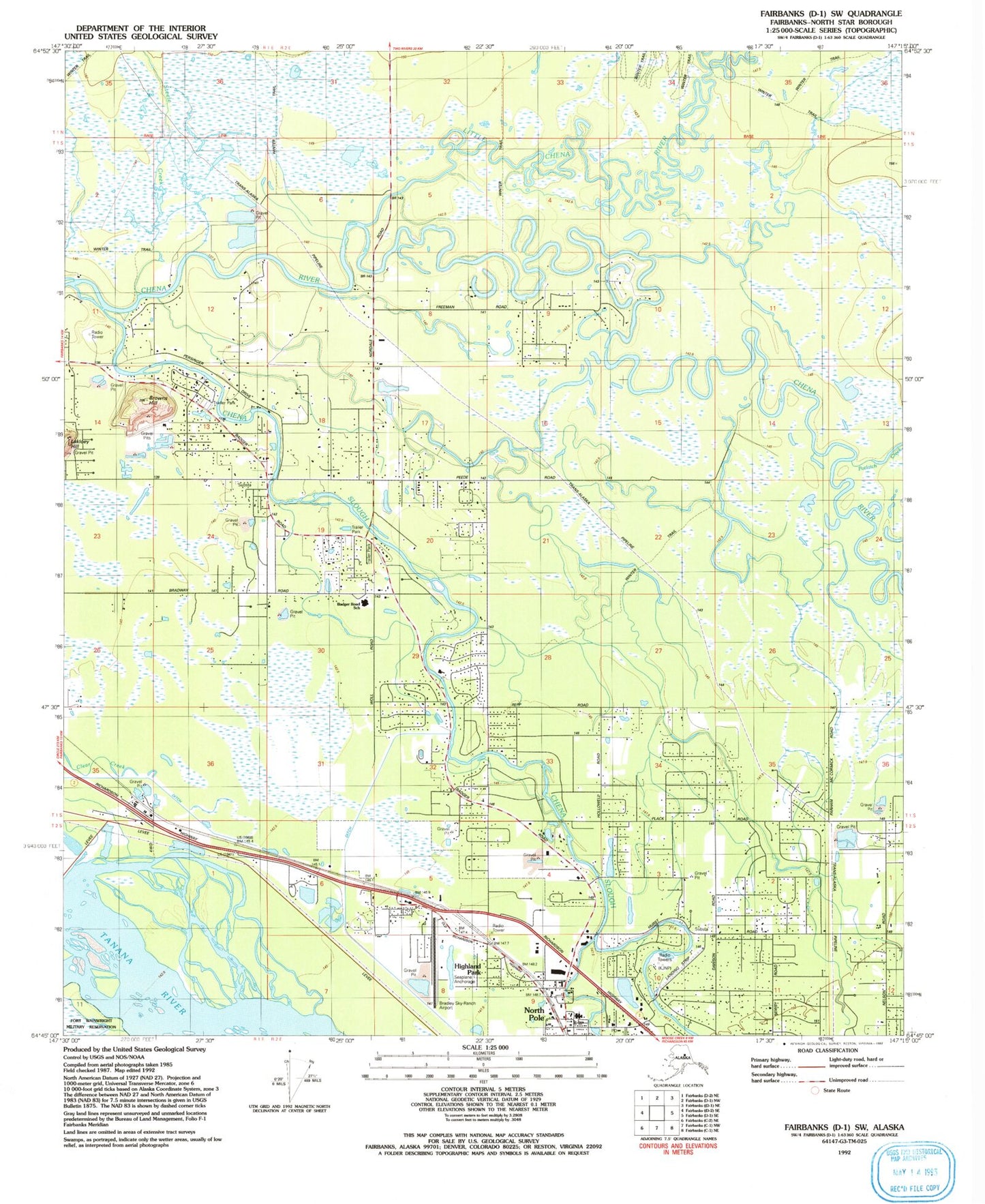
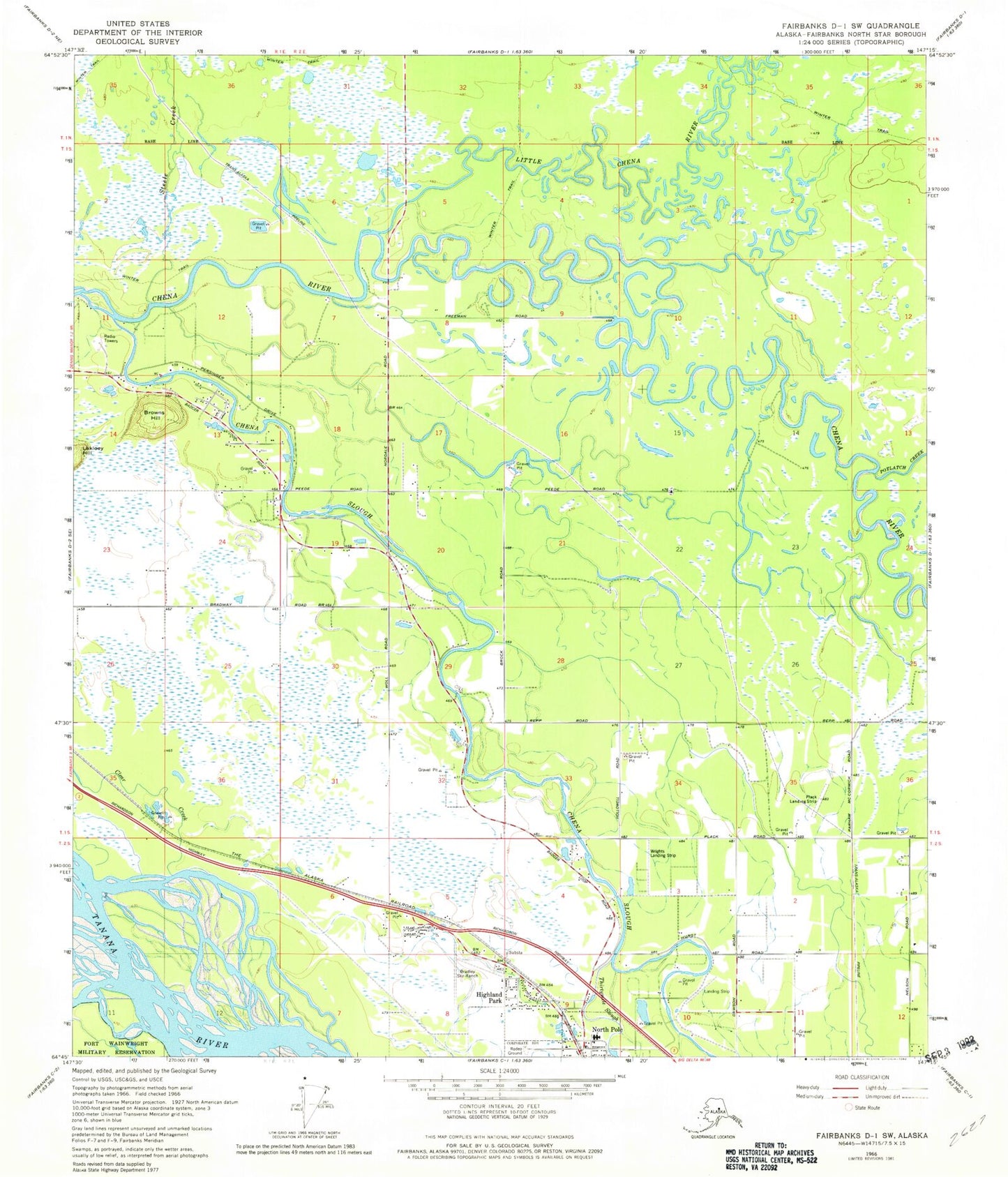
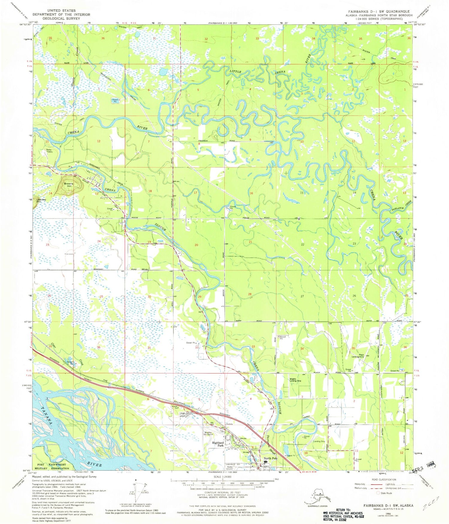
Classic USGS Fairbanks D-1 SW Alaska 7.5'x7.5' Topo Map
Couldn't load pickup availability
Historical USGS topographic quad map of Fairbanks D-1 SW in the state of Alaska. Map scale may vary for some years, but is generally around 1:24,000. Print size is approximately 24" x 27"
This quadrangle is in the following counties: Fairbanks North Star.
The map contains contour lines, roads, rivers, towns, and lakes. Printed on high-quality waterproof paper with UV fade-resistant inks, and shipped rolled.
Contains the following named places: Airway Airport, Badger Census Designated Place, Bradley Sky Ranch, Bradley Sky-Ranch Airport, Browns Hill, Chena Slough, City of North Pole, Dalrymple's Airport, Davis, Highland Park, Hopper Creek, KJNP-AM (North Pole), Little Chena River, North Pole, North Pole Fire Department, North Pole Police Department, North Pole Pond, North Pole Post Office, North Star Volunteer Fire Department Station 1, North Star Volunteer Fire Department Station 3, Potlatch Creek, Steele Creek, Thirtymile Slough, Timber Trails Airport, ZIP Code: 99705