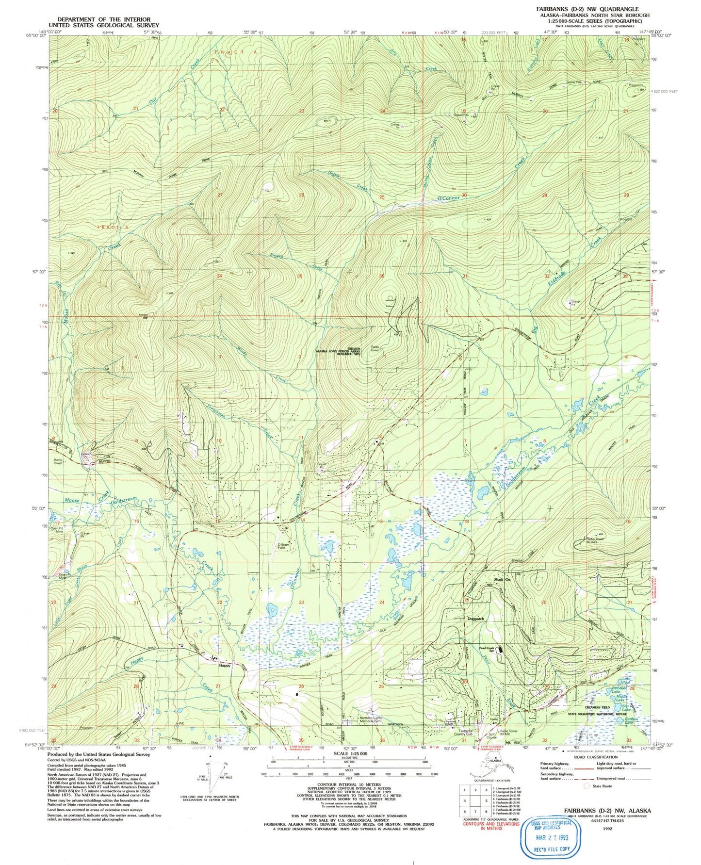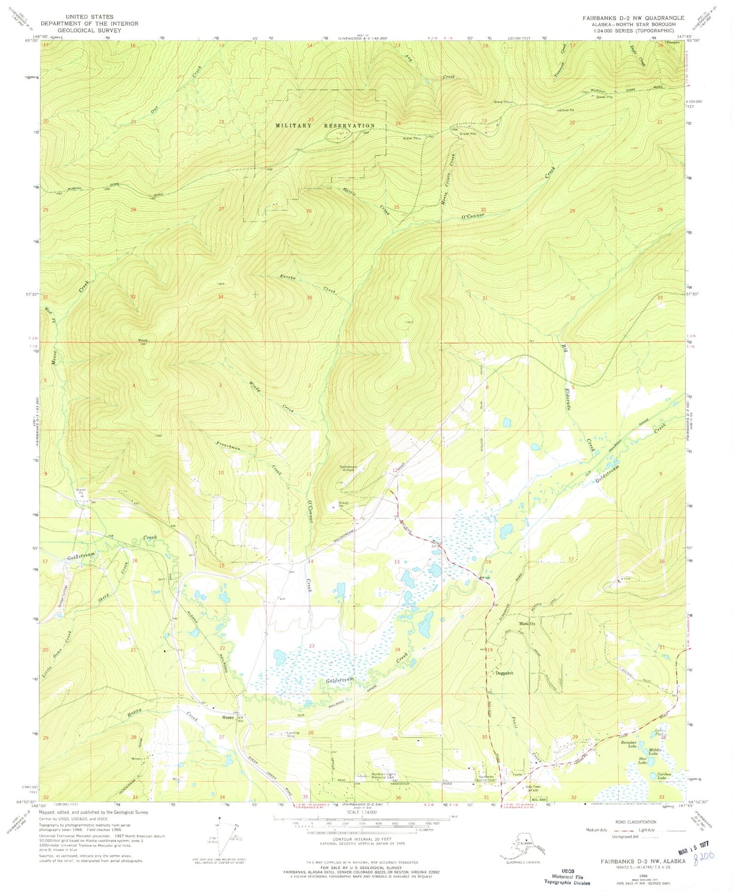
MyTopo
Classic USGS Fairbanks D-2 NW Alaska 7.5'x7.5' Topo Map
Couldn't load pickup availability
Historical USGS topographic quad map of Fairbanks D-2 NW in the state of Alaska. Typical map scale is 1:24,000, but may vary for certain years, if available. Print size: 24" x 27"
This quadrangle is in the following counties: Fairbanks North Star.
The map contains contour lines, roads, rivers, towns, and lakes. Printed on high-quality waterproof paper with UV fade-resistant inks, and shipped rolled.
Contains the following named places: Fairbanks Golf Course, Big Eldorado Creek, Caribou Lake, Dogpatch, Eureka Creek, Frenchman Creek, Gold Mine, Gold Mine, Happy, Hattie Creek, Little Dome Creek, Little Nugget Creek, Middle Lake, Monte Cristo Creek, Musk Ox, Northern Lights Memorial Park, O'Connor Creek, Lake Paul, Reindeer Lake, Sheep Creek, Star Lake, West Fork Moose Creek, Windy Creek, KFAR-AM (Fairbanks), KUAC-FM (Fairbanks), KWLF-FM (Fairbanks), KUAC-TV (Fairbanks), Skyflight Airport, McNears, Chena - Goldstream Fire and Rescue Station 43, Chena - Goldstream Fire and Rescue Station 41 Vail, Eielson Alaska Long Period Array Research Site, O'Brien Field (historical), Hardrock Field