
MyTopo
Classic USGS Fairfield NW North Carolina 7.5'x7.5' Topo Map
Couldn't load pickup availability
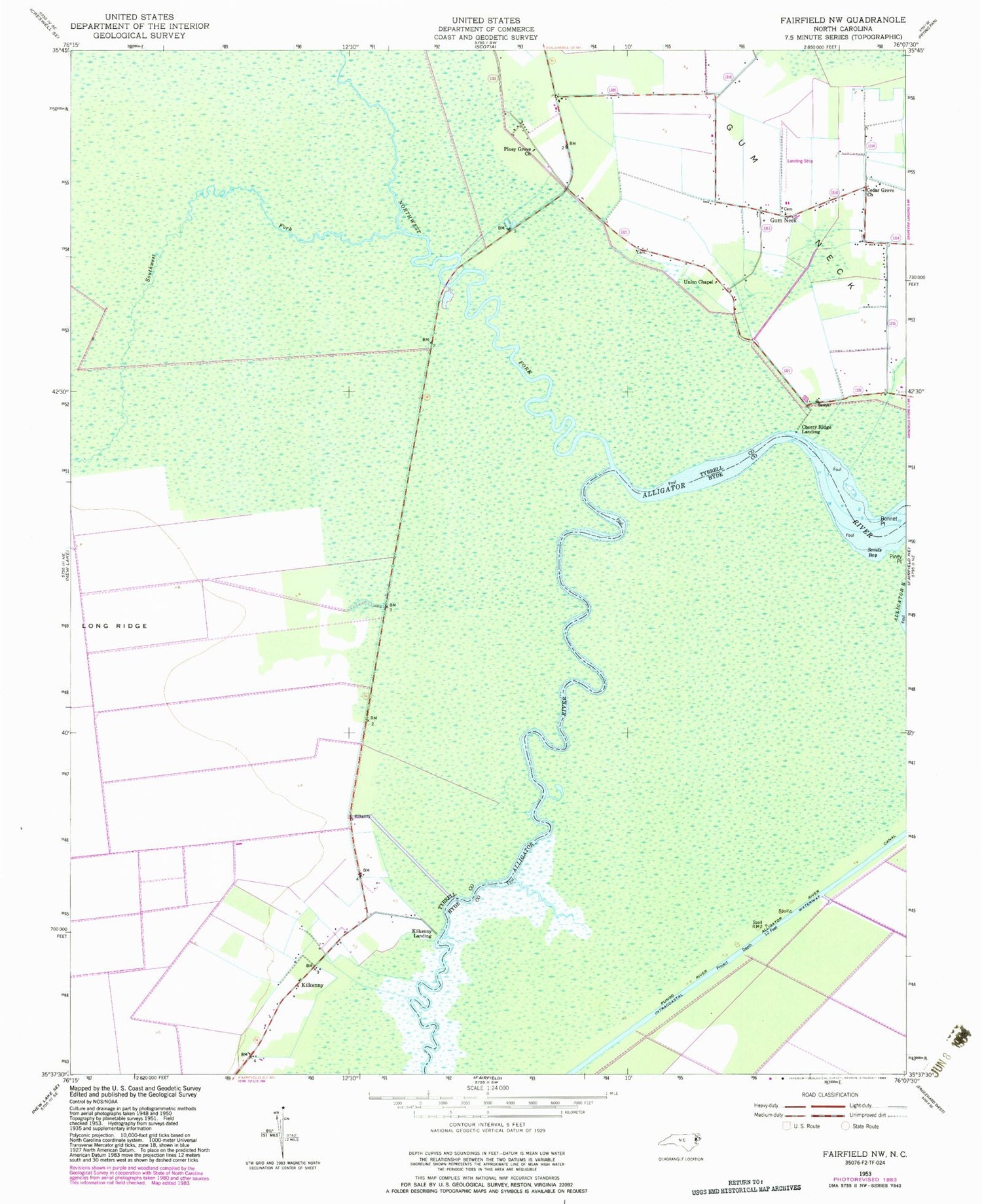
Historical USGS topographic quad map of Fairfield NW in the state of North Carolina. Map scale may vary for some years, but is generally around 1:24,000. Print size is approximately 24" x 27"
This quadrangle is in the following counties: Hyde, Tyrrell.
The map contains contour lines, roads, rivers, towns, and lakes. Printed on high-quality waterproof paper with UV fade-resistant inks, and shipped rolled.
Contains the following named places: Bonnet Point, Cedar Grove Church, Cherry Ridge Landing, Church of Christ, Gum Neck, Gum Neck Fire Department Station 2, Kilkenny, Kilkenny Fire Department Station 3, Kilkenny Landing, Northwest Fork Alligator River, Piney Grove Church, Scouts Bay, Southwest Fork Alligator River, Township of Gum Neck, Union Chapel


