MyTopo
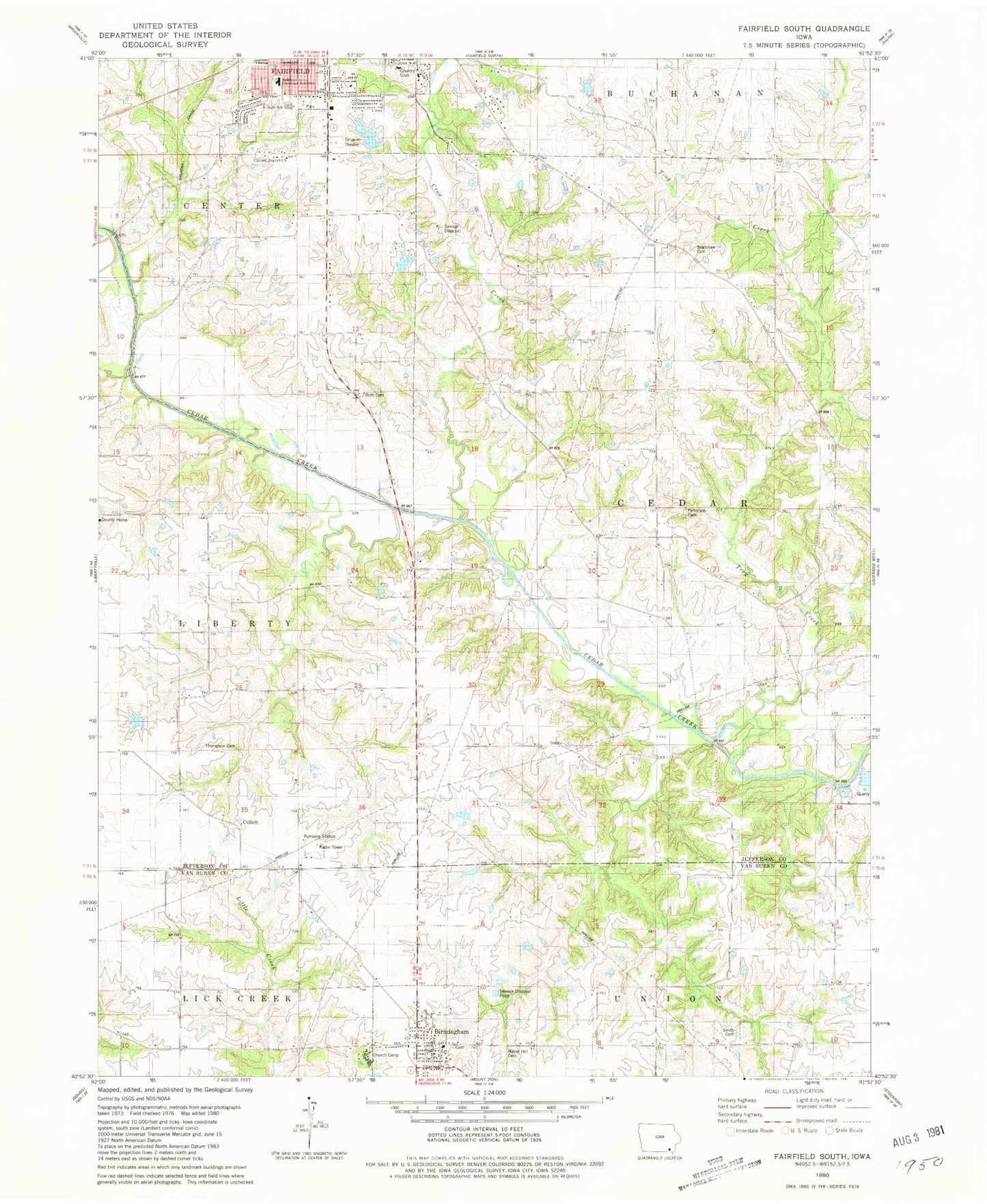
Classic USGS Fairfield South Iowa 7.5'x7.5' Topo Map
Couldn't load pickup availability
Historical USGS topographic quad map of Fairfield South in the state of Iowa. Map scale may vary for some years, but is generally around 1:24,000. Print size is approximately 24" x 27"
This quadrangle is in the following counties: Jefferson, Van Buren.
The map contains contour lines, roads, rivers, towns, and lakes. Printed on high-quality waterproof paper with UV fade-resistant inks, and shipped rolled.
Contains the following named places: Birmingham, Birmingham Early Childhood Center, Birmingham Fire Station, Birmingham First Presbyterian Church, Birmingham Free Methodist Church, Birmingham Library, Birmingham Post Office, Birmingham Town Hall, Birmington Medical Clinic, Bradshaw Cemetery, Calvary Baptist Church, City of Birmingham, Clinkenbeard Family Cemetery, Collett, Collett Post Office, County Poor Farm Cemetery, Crow Creek, Fairfield Christian School, Fairfield Golf and Country Club, Fairfield Middle School, Fairfield Wastewater Treatment Plant, Faith Baptist Church, Foursquare Gospel Church, Free Methodist Camp Ground, Friends Church, Galliher Family Cemetery, Harmony Post Office, Immanuel Lutheran Church, Jefferson County Health Center, Jefferson County Home, Jefferson County Park, Jefferson County Park Trail, Lamson Woods State Preserve, Lewis Bonnett Historical Marker, Maple Hill Cemetery, Methodist Episcopal Cemetery, O B Nelson Park, Patterson Cemetery, Pence Elementary School, Roth Cemetery, Smith Cemetery, Southwood Park, Steele Cemetery, The Church of Jesus Christ of Latter Day Saints, Thompson Cemetery, Township of Cedar, Troy Creek, Turkey Run Wildlife Area, United Methodist Church, United Presbyterian Cemetery, Wilson Park, Zillman's Hickory Hills Recreation Area


