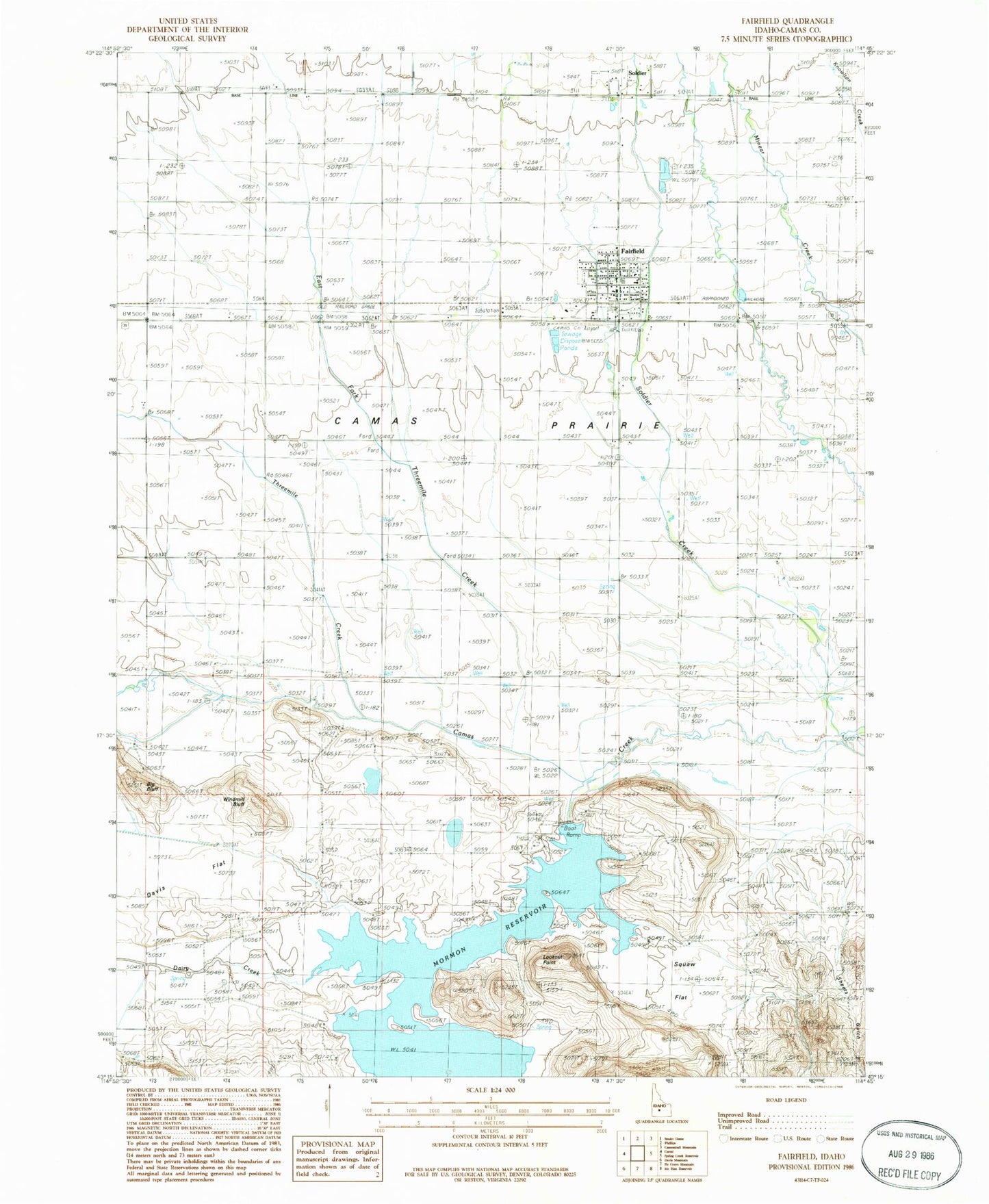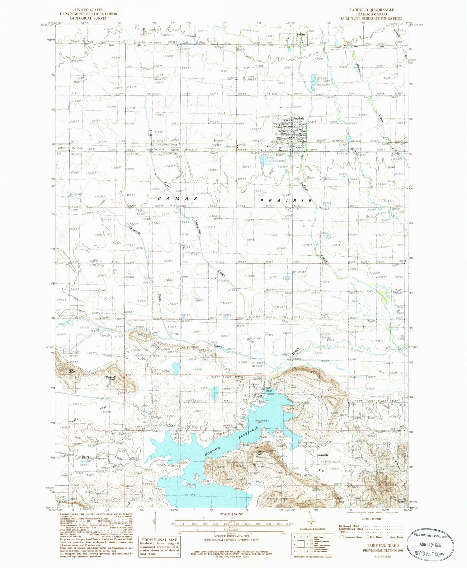
MyTopo
Classic USGS Fairfield Idaho 7.5'x7.5' Topo Map
Couldn't load pickup availability
Historical USGS topographic quad map of Fairfield in the state of Idaho. Map scale may vary for some years, but is generally around 1:24,000. Print size is approximately 24" x 27"
This quadrangle is in the following counties: Camas.
The map contains contour lines, roads, rivers, towns, and lakes. Printed on high-quality waterproof paper with UV fade-resistant inks, and shipped rolled.
Contains the following named places: Big Bluff, Camas County - Fairfield Volunteer Fire District, Camas County Airport, Camas County Elementary - Junior High School, Camas County High School, Camas County Sheriff's Office, Camas Prairie, City of Fairfield, Dairy Creek, Davis Flat, East Fork Threemile Creek, Fairfield, Fairfield Post Office, Lookout Point, Mormon Dam, Mormon Reservoir, Mormon Reservoir Access Area, Shoots Gulch, Soldier, Soldier Creek, Squaw Flat, Threemile Creek, Windmill Bluff