MyTopo
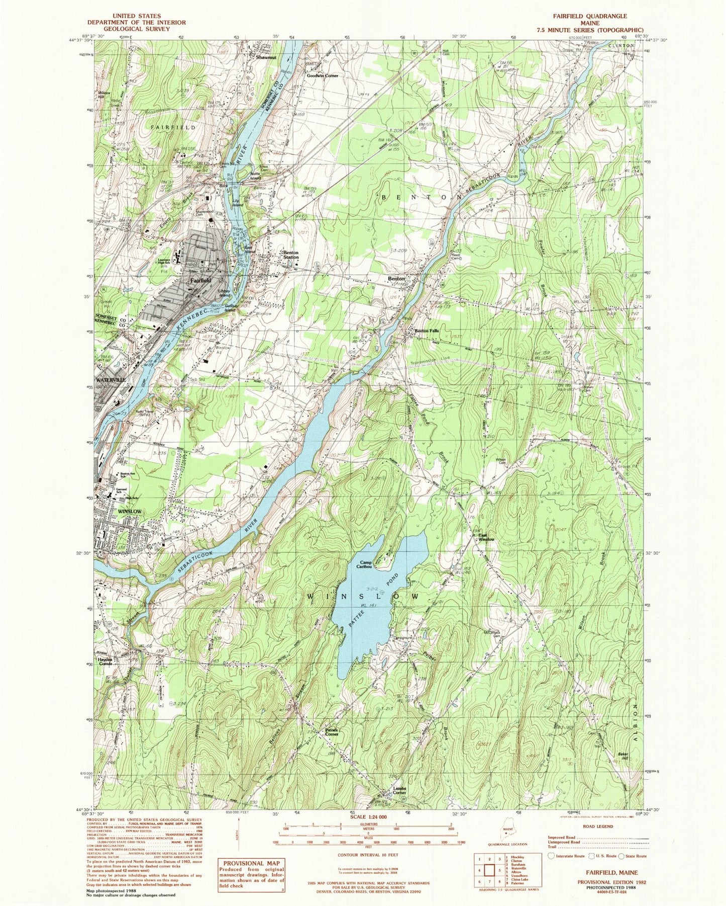
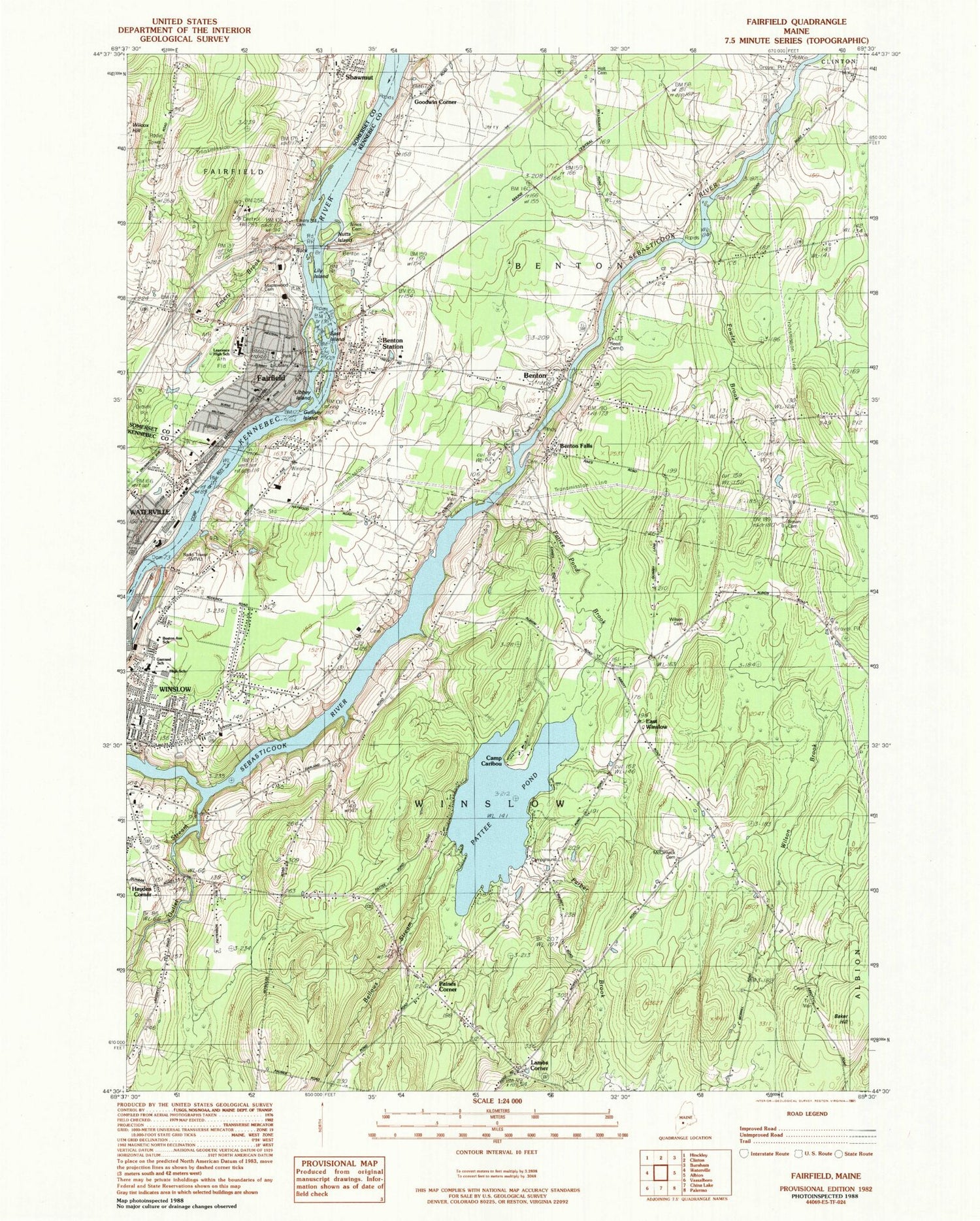
Classic USGS Fairfield Maine 7.5'x7.5' Topo Map
Couldn't load pickup availability
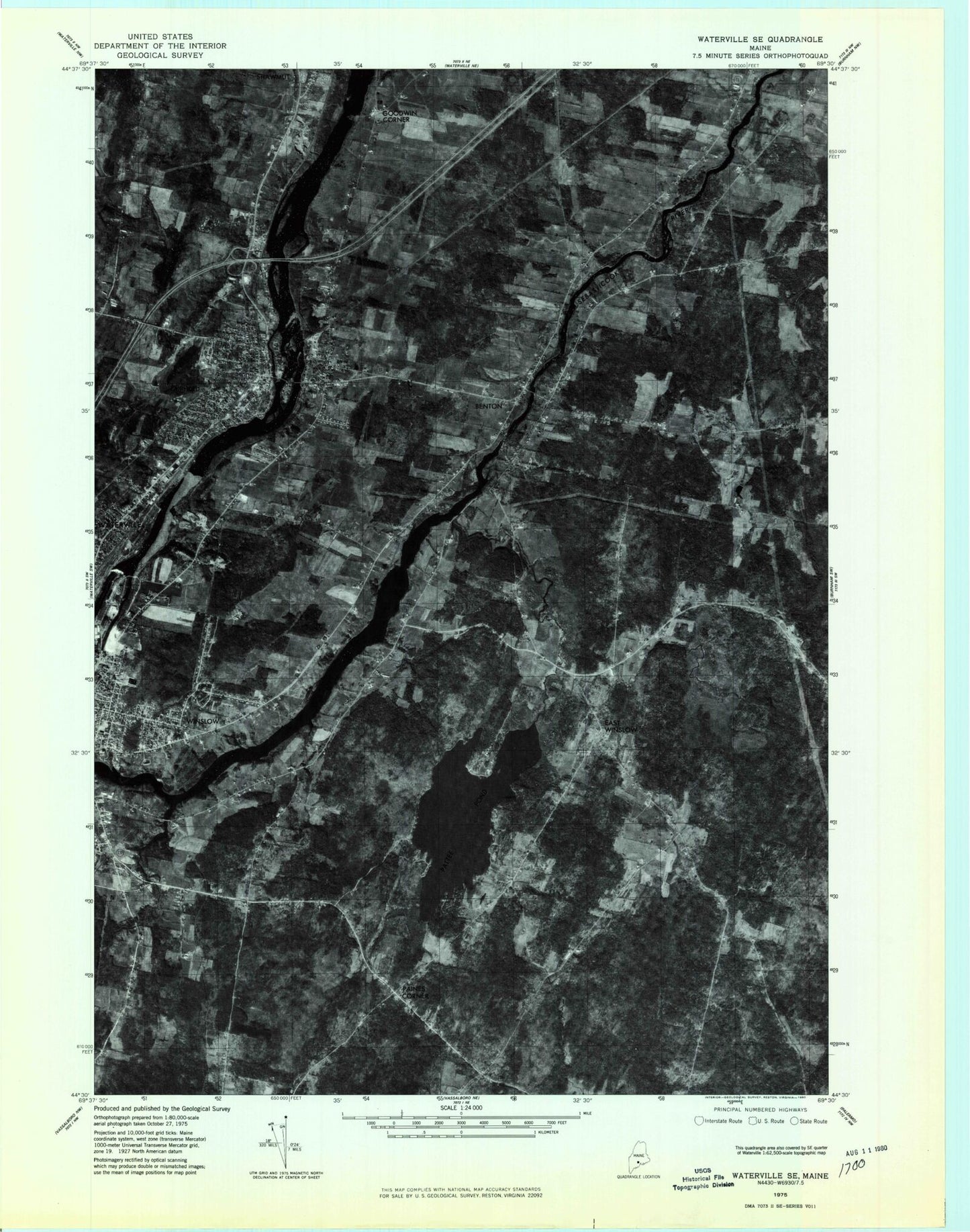
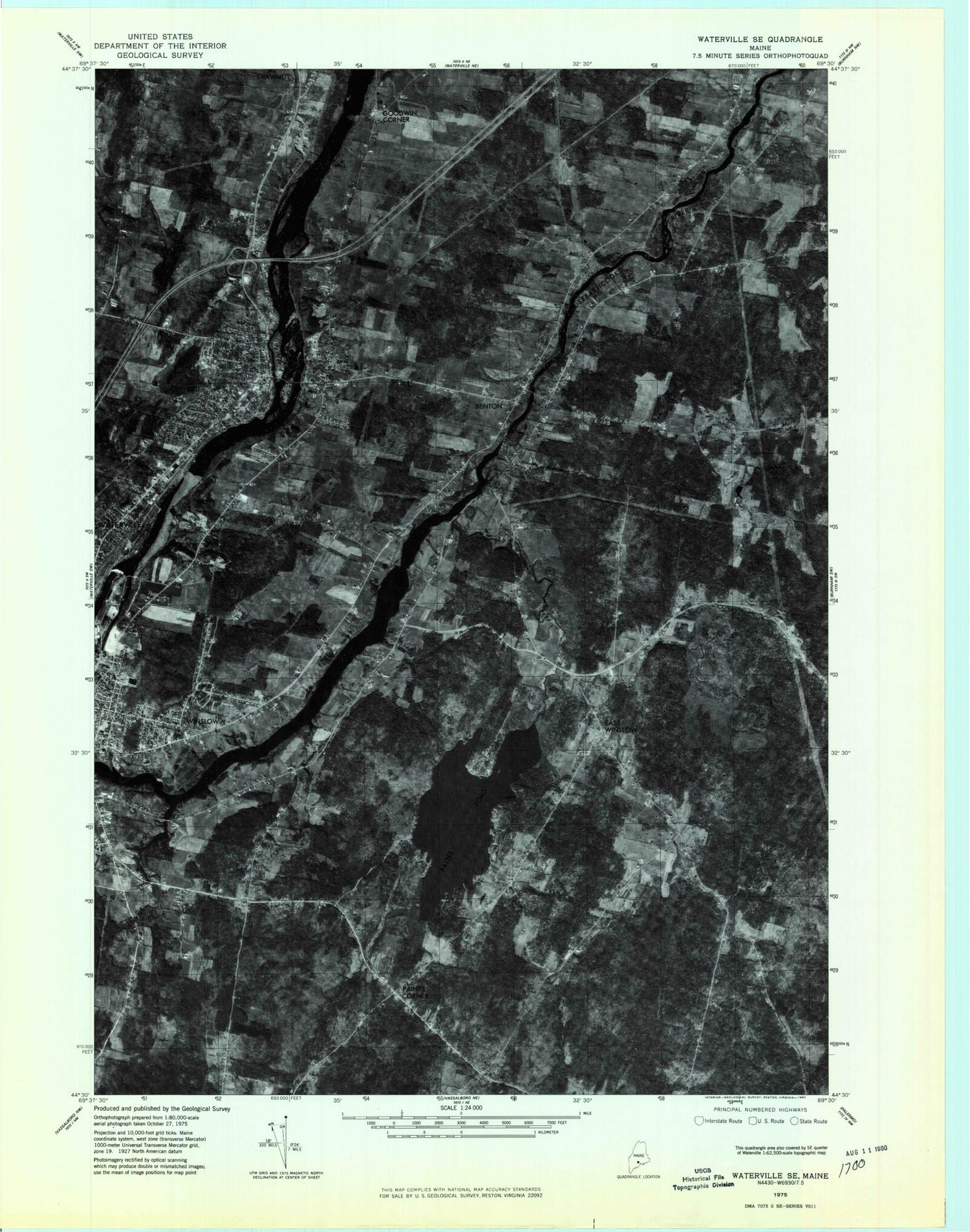
Historical USGS topographic quad map of Fairfield in the state of Maine. Map scale may vary for some years, but is generally around 1:24,000. Print size is approximately 24" x 27"
This quadrangle is in the following counties: Kennebec, Somerset.
The map contains contour lines, roads, rivers, towns, and lakes. Printed on high-quality waterproof paper with UV fade-resistant inks, and shipped rolled.
Contains the following named places: Ames Cemetery, Baker Hill, Barton - Hinds Cemetery, Bellows Stream, Benton, Benton Elementary School, Benton Falls, Benton Station, Bob-Mar Airport, Brown Cemetery, Camp Caribou, Central Maine Sanatorium, East Island, East Winslow, Emery Brook, Emery Hill Cemetery, Fairfield, Fairfield Census Designated Place, Fairfield Fire Department Station 1, Fairfield Historical Society, Fairfield Municipal Building, Fairfield Police Department, Fairfield Post Office, Fairfield Primary School, Fairfield United Methodist Church, Fitzgerald Cemetery, Goodwin Corner, Gowan Cemetery, Gulliver Island, Hayden Corner, History House, Holland Brook, Holt Cemetery, Kennebec Montessori School, Kennebec River Reservoir, Kennebec Valley Community College, Kennebec Valley Technical College Media Center, Lambs Corner, Lawrence High School, Lawrence Junior High School, Lawrence Public Library, Libbey Island, Lily Island, Lunder Library, Maplewood Cemetery, McClintock Cemetery, Middle Island, Monument Park, Outlet Stream, Paines Corner, Pattee Pond, Pattee Pond Brook, Reed Cemetery, Reed Family Cemetery, Saint John Regional Catholic School, T and A Mills Dam, Town of Benton, Town of Winslow, Tozier Mills Cemetery, WEBB-FM (Waterville), Wilson Brook, Wilson Cemetery, Winslow, Winslow Census Designated Place, Winslow Elementary School, Winslow Fire Department, Winslow High School, Winslow Junior High School, Winslow Police Department, Winslow Post Office, Winslow Public Library, WTVL-AM (Waterville), ZIP Code: 04901


