MyTopo
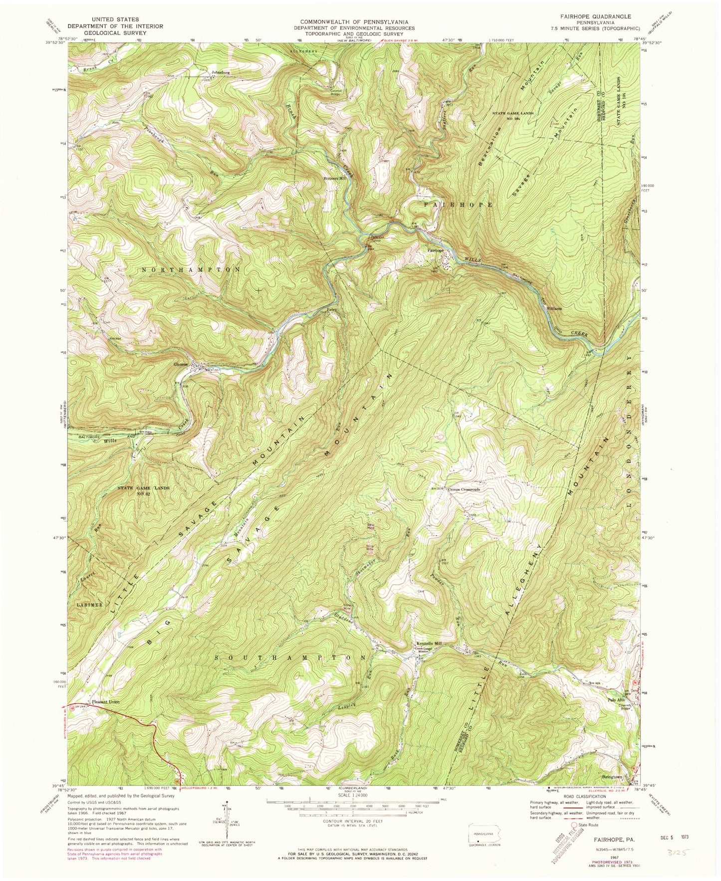
Classic USGS Fairhope Pennsylvania 7.5'x7.5' Topo Map
Couldn't load pickup availability
Historical USGS topographic quad map of Fairhope in the state of Pennsylvania. Map scale may vary for some years, but is generally around 1:24,000. Print size is approximately 24" x 27"
This quadrangle is in the following counties: Bedford, Somerset.
The map contains contour lines, roads, rivers, towns, and lakes. Printed on high-quality waterproof paper with UV fade-resistant inks, and shipped rolled.
Contains the following named places: Bearwallow Mountain, Becks Cut Station, Big Savage Mountain, Bittners Mill, Bradigum School, Brush Creek, Comps Crossroads, Crossroads School, Fairhope, Fairhope Post Office, Falls Cut Tunnel, Fitchner Covered Bridge, Foley, Foley Station, Glencoe, Hoblitzell, Johnsburg, Kennells Mill, Korns School, Laurel Run, Leapley Run, Mountain Run, Mountain School, Palo Alto, Palo Alto United Methodist Church Cemetery, Philson School, Pleasant Union, Poorbaugh Run, Powder Run, Roddys Station, Rush Run, Shaffers Run, Shoemaker Run, Southampton Mills, Southampton School, Stringtown, Township of Fairhope, Township of Southampton, Union Gospel Mission, Welch Station, Williams, ZIP Codes: 15538, 15545