MyTopo
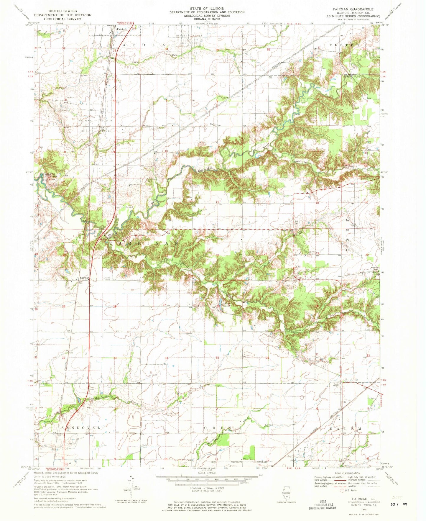
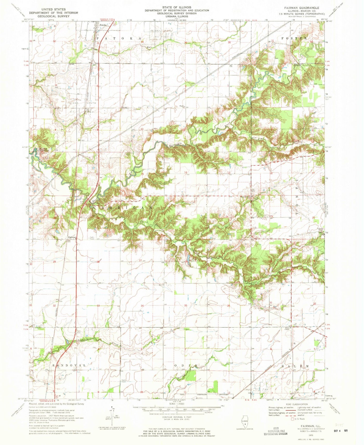
Classic USGS Fairman Illinois 7.5'x7.5' Topo Map
Couldn't load pickup availability
Historical USGS topographic quad map of Fairman in the state of Illinois. Map scale may vary for some years, but is generally around 1:24,000. Print size is approximately 24" x 27"
This quadrangle is in the following counties: Marion.
The map contains contour lines, roads, rivers, towns, and lakes. Printed on high-quality waterproof paper with UV fade-resistant inks, and shipped rolled.
Contains the following named places: Barden Creek, Brick School, Carrigan Cemetery, Carrigan School, Cruse Cemetery, Cubbage Chapel, Cubbage Chapel Cemetery, Davidson Creek, Eaglin Church, Fairman, Fredonia Cemetery, Fredonia School, Gattis School, Harrison Cemetery, Hemple School, Hoots Chapel Christian Church, Jacks School, Jims Creek, Jones Dairy Farm, Lewis Cemetery, Marshall Creek Church, Odin Oil Field, Patoka East Oil Field, Patoka South Oil Field, Possomtrot School, Quick Airport, Steward School, Township of Carrigan, Wisher School, Wood School, ZIP Codes: 62870, 62882