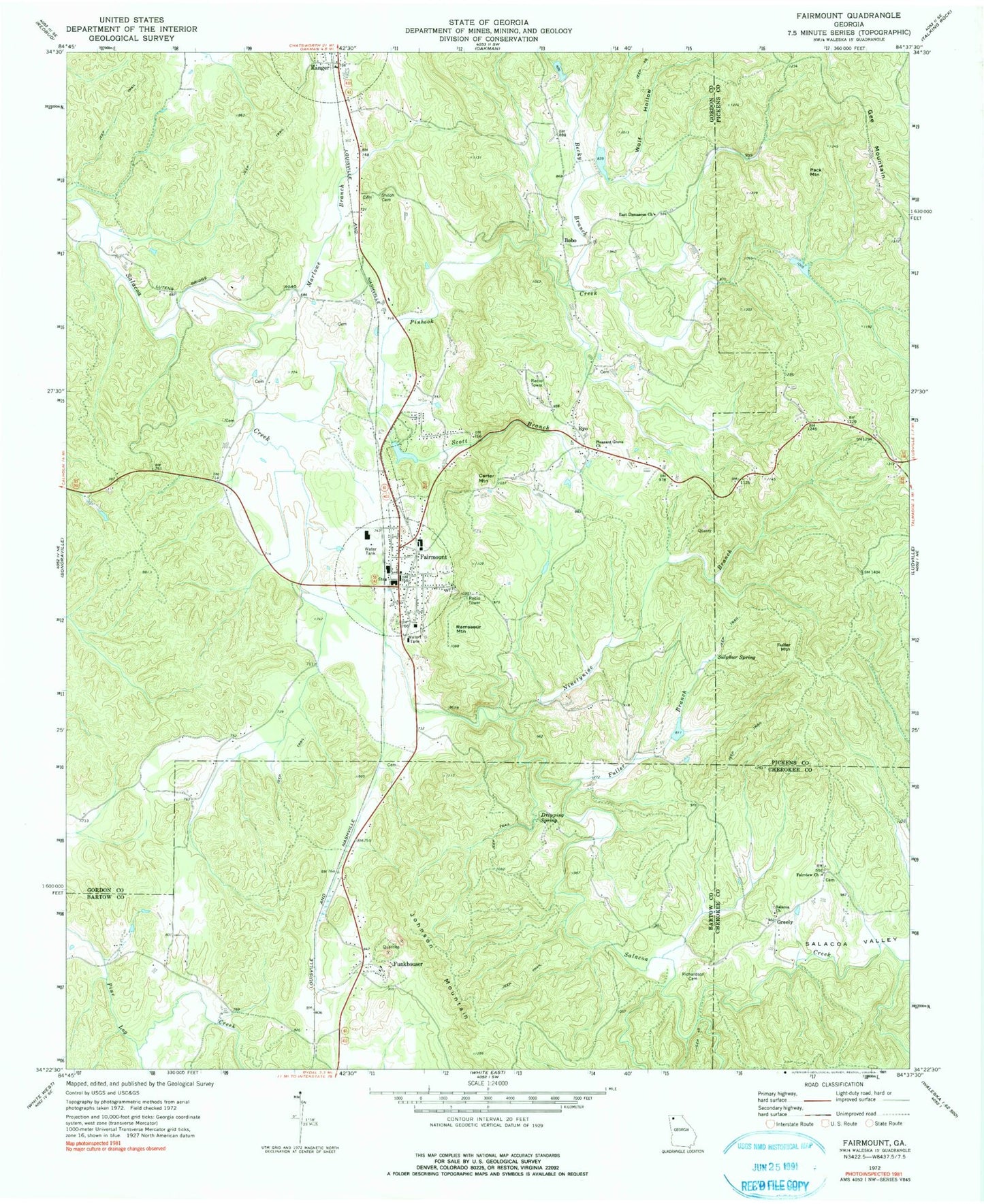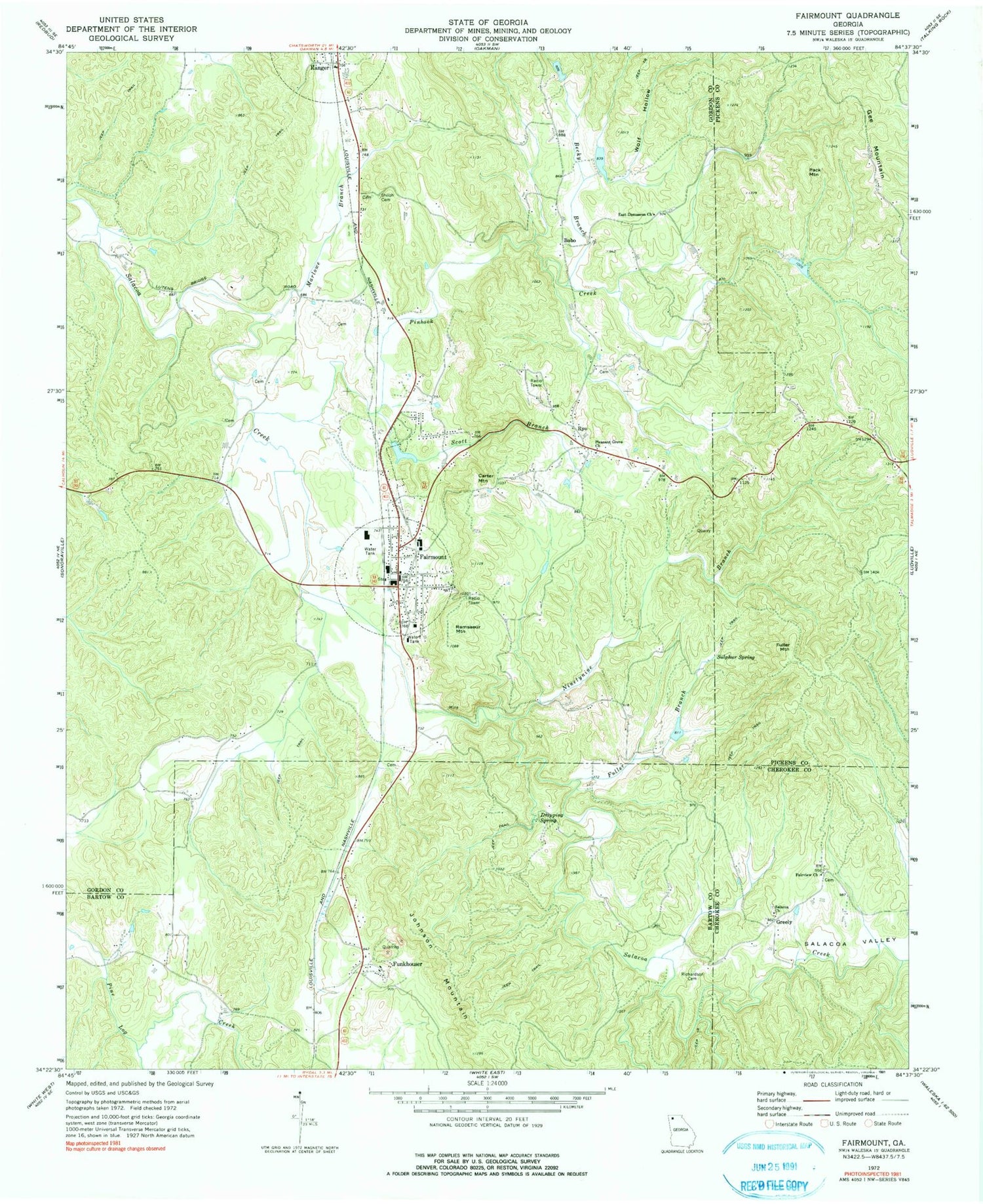
MyTopo
Classic USGS Fairmount Georgia 7.5'x7.5' Topo Map
Couldn't load pickup availability
Historical USGS topographic quad map of Fairmount in the state of Georgia. Typical map scale is 1:24,000, but may vary for certain years, if available. Print size: 24" x 27"
This quadrangle is in the following counties: Bartow, Cherokee, Gordon, Pickens.
The map contains contour lines, roads, rivers, towns, and lakes. Printed on high-quality waterproof paper with UV fade-resistant inks, and shipped rolled.
Contains the following named places: Calico Valley, Dripping Spring, Fuller Branch, Marlowe Branch, Pinhook Creek, Pleasant Grove Church, Richardson Family Cemetery, Salacoa Church, Salacoa Valley, Scott Branch, Shiloh Cemetery, Sulphur Spring, Wolf Hollow, Bobo, Carter Mountain, Fuller Mountain, Gee Mountain, Greely, Johnson Mountain, Pack Mountain, Ramsaeur Mountain, Ryo, Salacoa School (historical), Camp Sunrise, Edward Lacy Mill (historical), Erwin Mill (historical), Fairmount Elementary School, First Baptist Church of Fairmount, Forest Hill School (historical), Igo (historical), Bobo School (historical), Orr Mill (historical), Sallacoa Watershed Dam Number 48, Anderson Lake, Salacoa Creek Watershed Dam Number 67, Patterson Lake, Sallacoa Creek Watershed Number 99 Dam, Sallacoa Creek Watershed Dam Number 89, Brannon Lake, Takila Lake Dam, Takila Lake, Salacoa Creek Watershed Dam Number 100, Jones Lake, Fairmount Post Office, Becky Branch, East Damascus Church, Fairmount, Fairview Methodist Church, Funkhouser, Ninetynine Branch, Fairview Cemetery, Mahan Cemetery, Erwin Family Cemetery, Lewis Family Cemetery, City of Fairmount, Cherokee County Fire and Emergency Services Station 18, Gordon County Fire Rescue Department Station 8 Fairmount, Gordon County Fire and Rescue Department Station 8 Fairmount, Fairmount Police Department