MyTopo
Classic USGS Fairmount North Dakota 7.5'x7.5' Topo Map
Couldn't load pickup availability
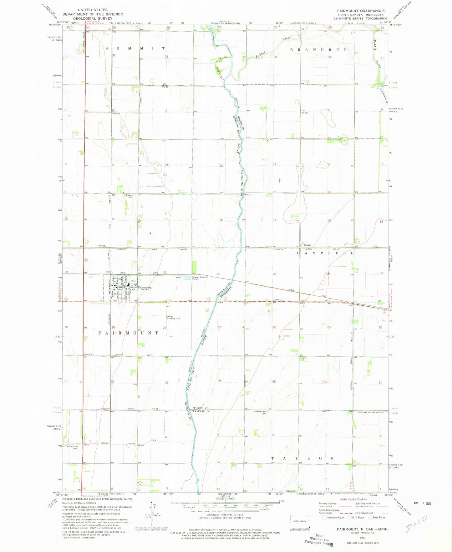
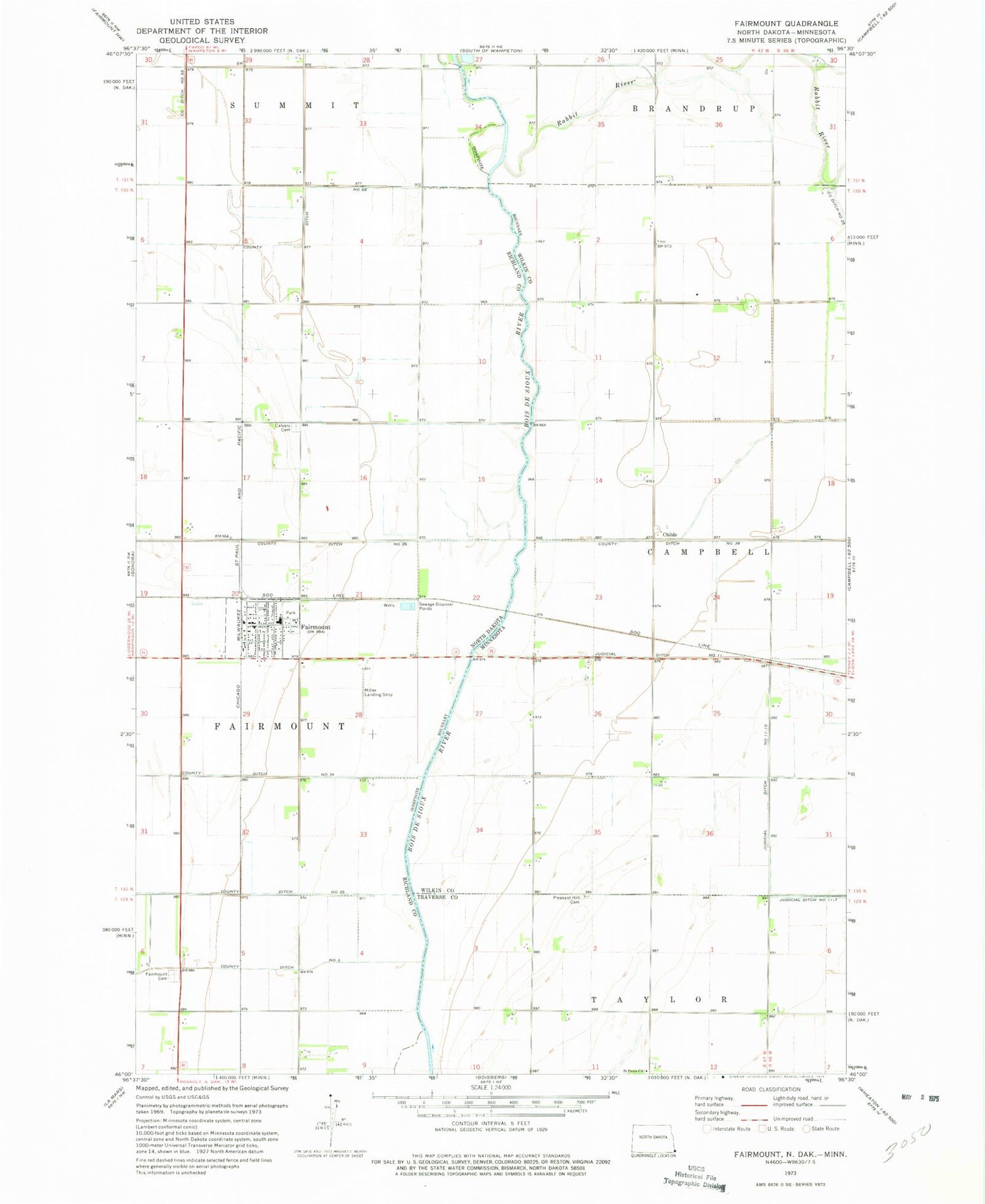
Historical USGS topographic quad map of Fairmount in the states of North Dakota, Minnesota. Map scale may vary for some years, but is generally around 1:24,000. Print size is approximately 24" x 27"
This quadrangle is in the following counties: Richland, Traverse, Wilkin.
The map contains contour lines, roads, rivers, towns, and lakes. Printed on high-quality waterproof paper with UV fade-resistant inks, and shipped rolled.
Contains the following named places: Calvary Cemetery, Childs, Childs Post Office, City of Fairmount, County Ditch Number 26, County Ditch Number 34, County Ditch Number 35, County Ditch Number 58, County Ditch Number Thirtynine, County Ditch Number Twentyfive, Fairmount, Fairmount Cemetery, Fairmount City Hall, Fairmount Fire Protection District, Fairmount Post Office, Fairmount Public School, Judicial Ditch Number Eleven-Ten, Pleasant Hill Cemetery, Rabbit River, Saint Pauls Church, Township of Fairmount, Wetherbee Farm Airport