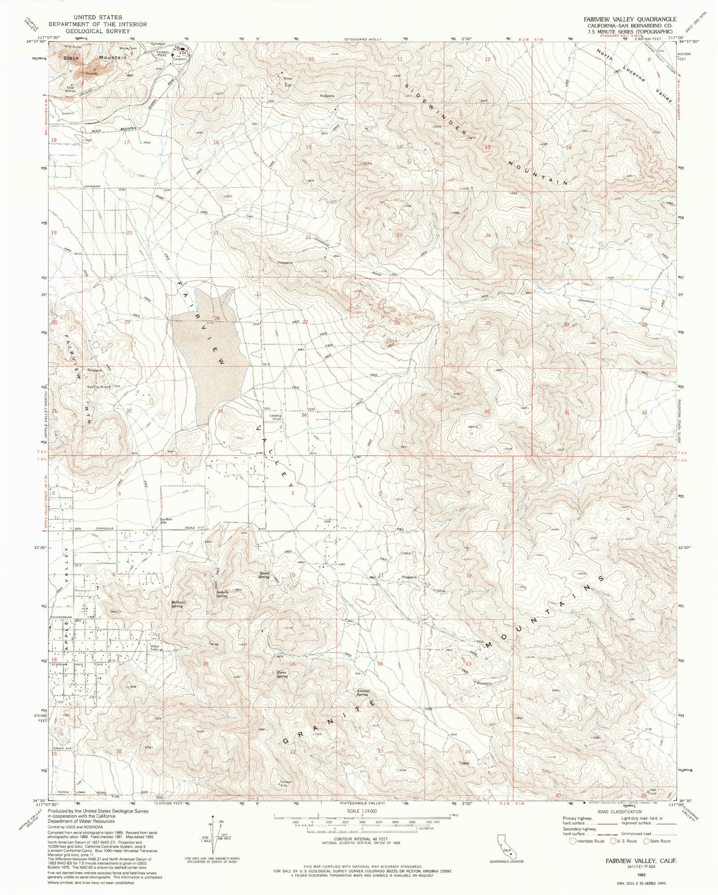
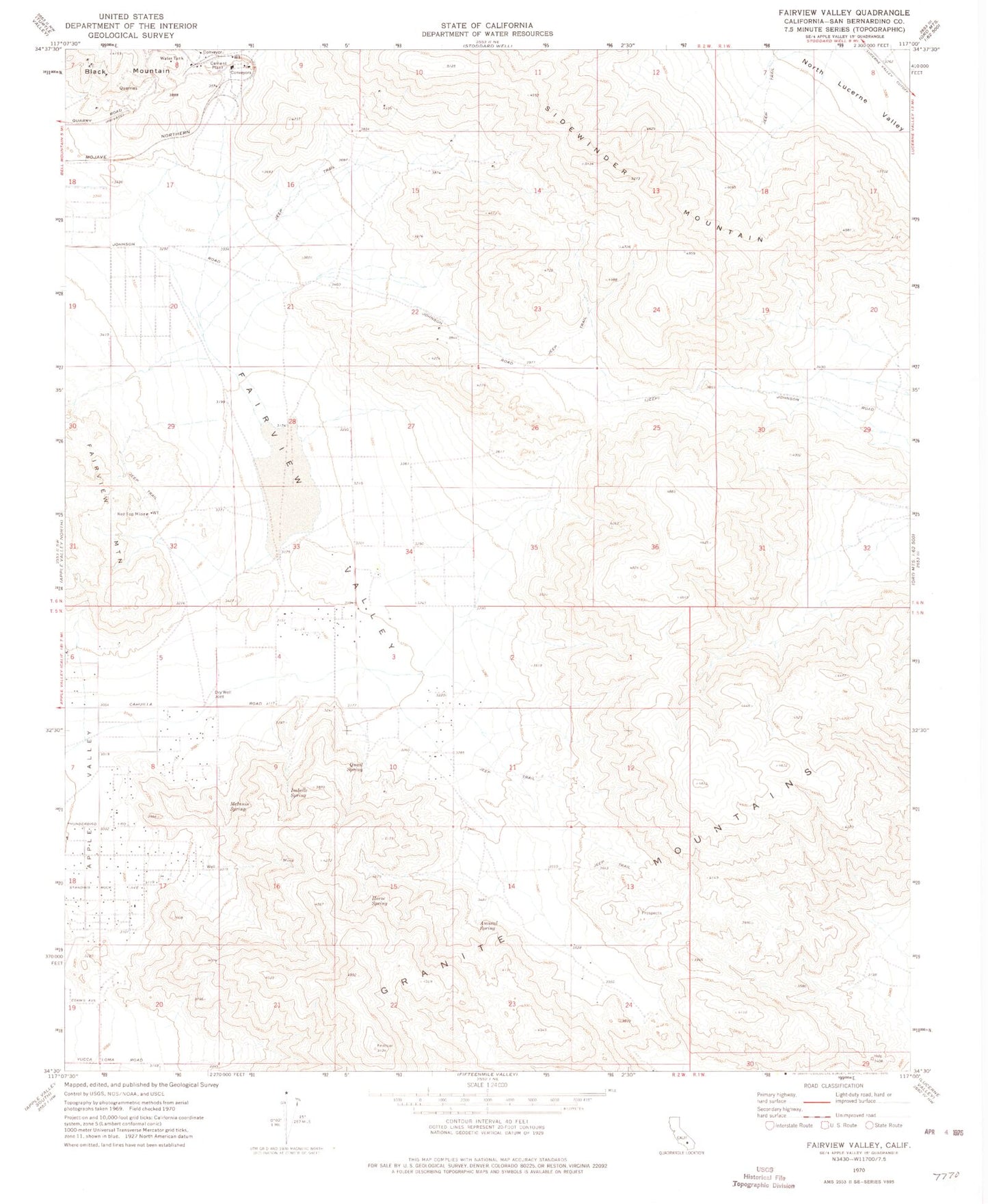
MyTopo
Classic USGS Fairview Valley California 7.5'x7.5' Topo Map
Regular price
$16.95
Regular price
Sale price
$16.95
Unit price
per
Couldn't load pickup availability
Historical USGS topographic quad map of Fairview Valley in the state of California. Map scale may vary for some years, but is generally around 1:24,000. Print size is approximately 24" x 27"
This quadrangle is in the following counties: San Bernardino.
The map contains contour lines, roads, rivers, towns, and lakes. Printed on high-quality waterproof paper with UV fade-resistant inks, and shipped rolled.
Contains the following named places: Amaral Spring, Fairview Dry Lake, Fairview Valley, Fairview Valley Fire Department, Granite Mountains, Holiday Ranch Airport, Horse Spring, Isabelle Spring, McInnis Spring, Quail Spring, Red Top Mine, Sidewinder Mountain, Thunderbird Ranches