MyTopo
Classic USGS Fairview California 7.5'x7.5' Topo Map
Couldn't load pickup availability
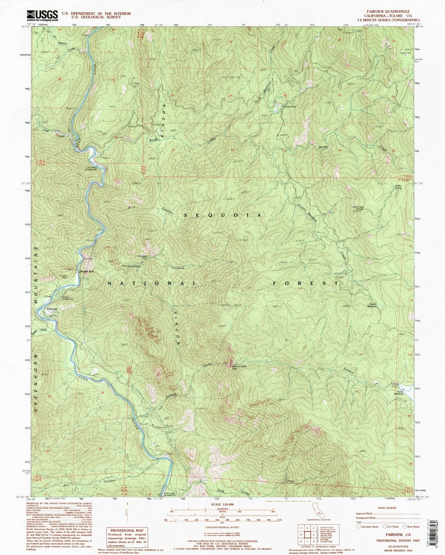
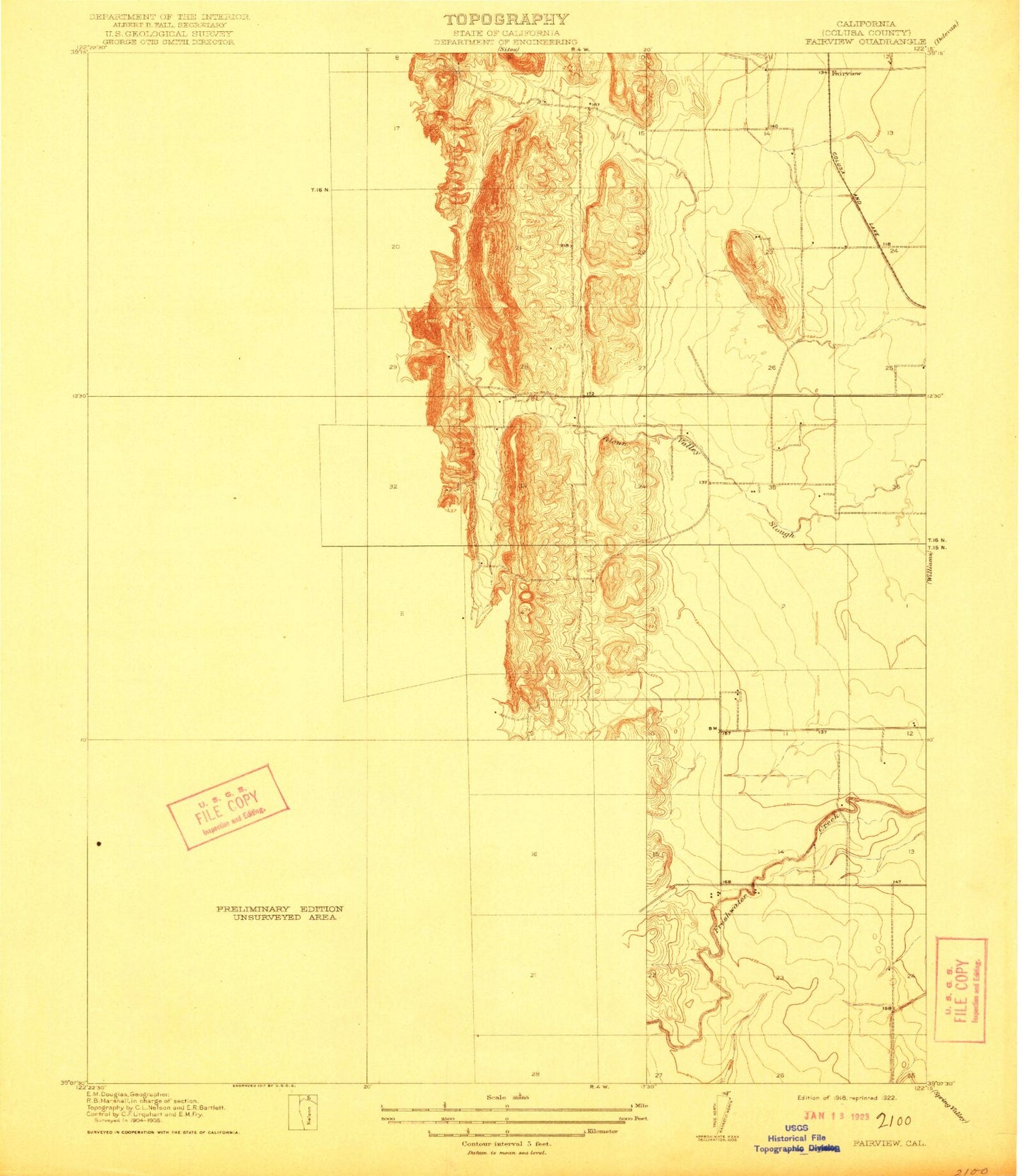
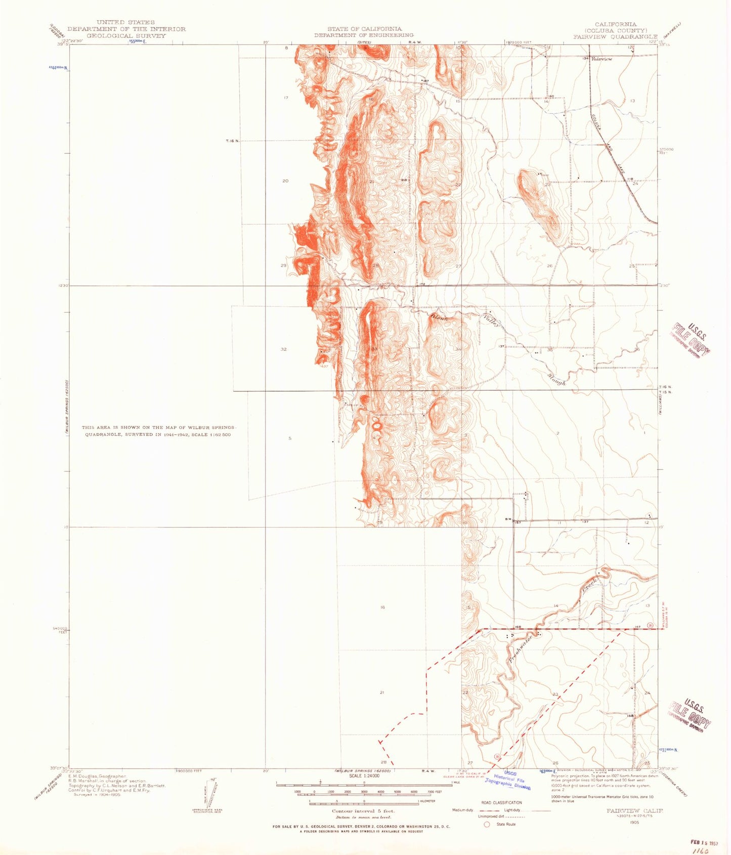
Historical USGS topographic quad map of Fairview in the state of California. Typical map scale is 1:24,000, but may vary for certain years, if available. Print size: 24" x 27"
This quadrangle is in the following counties: Tulare.
The map contains contour lines, roads, rivers, towns, and lakes. Printed on high-quality waterproof paper with UV fade-resistant inks, and shipped rolled.
Contains the following named places: Fairview Mine, Roads End, Ant Canyon, Brin Canyon, Brush Creek, Burton Camp, Dry Meadow Creek, Fairview, Flynn Canyon, Gold Ledge Campground, Gold Ledge Creek, Horse Meadow, Limestone Campground, Lower Campground, North Meadow Creek, Packsaddle Canyon, Poison Meadow, Poison Meadow Creek, Rincon, Salmon Creek, Salmon Creek Falls, South Creek, South Creek Falls, Tobias Creek, Fairview Campground, Alder Creek, Calkins Flat, Roads End Station, Brush Creek Flat, Brush Creek Overlook, Snake Spring, Corral Meadow, Fairview Mine, Roads End, Ant Canyon, Brin Canyon, Brush Creek, Burton Camp, Dry Meadow Creek, Fairview, Flynn Canyon, Gold Ledge Campground, Gold Ledge Creek, Horse Meadow, Limestone Campground, Lower Campground, North Meadow Creek, Packsaddle Canyon, Poison Meadow, Poison Meadow Creek, Rincon, Salmon Creek, Salmon Creek Falls, South Creek, South Creek Falls, Tobias Creek, Fairview Campground, Alder Creek, Calkins Flat, Roads End Station, Brush Creek Flat, Brush Creek Overlook, Snake Spring, Corral Meadow


