MyTopo
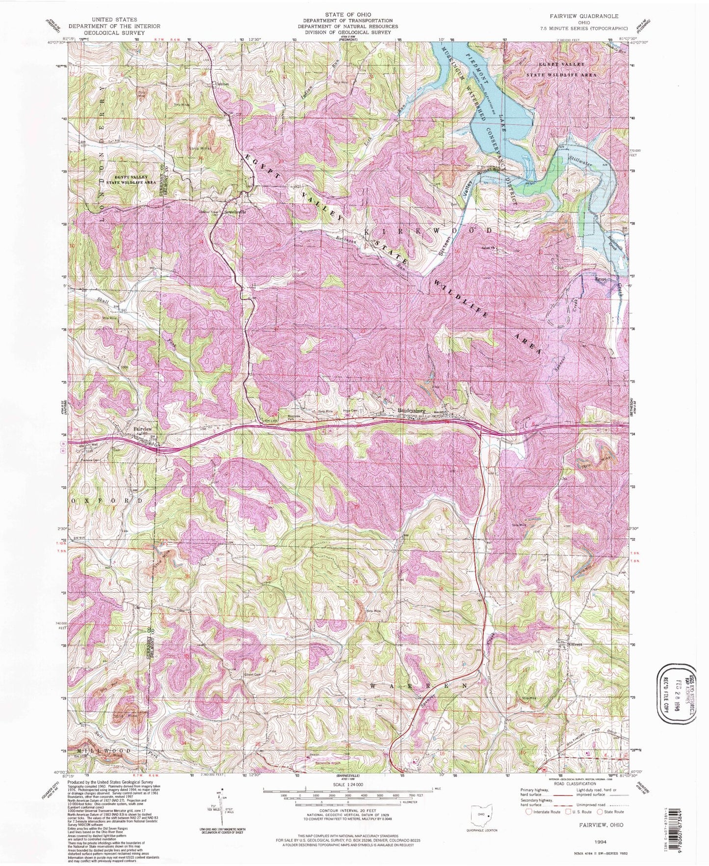
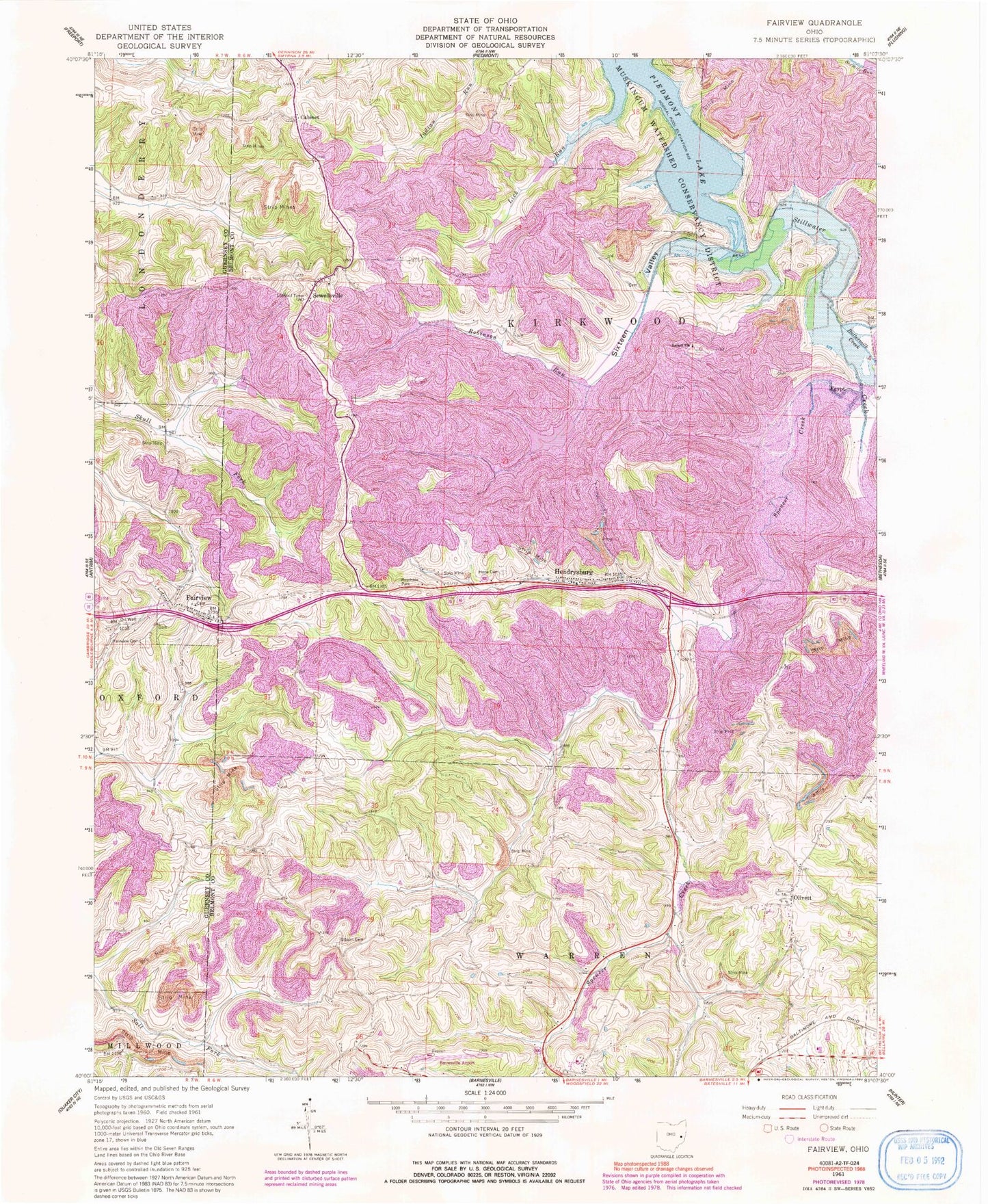
Classic USGS Fairview Ohio 7.5'x7.5' Topo Map
Couldn't load pickup availability
Historical USGS topographic quad map of Fairview in the state of Ohio. Typical map scale is 1:24,000, but may vary for certain years, if available. Print size: 24" x 27"
This quadrangle is in the following counties: Belmont, Guernsey.
The map contains contour lines, roads, rivers, towns, and lakes. Printed on high-quality waterproof paper with UV fade-resistant inks, and shipped rolled.
Contains the following named places: Buttermilk Creek, Fairview, Fairview Cemetery, Gibson Cemetery, Hope Cemetery, Lick Run, Salem Church, Sixteen Valley, Cabinet, Egypt, Hendrysburg, Olivett, Sewellsville, Robinson Run, Spencer Creek, Hendrysburg Elementary School (historical), State Route 800 Dam, State Route 800 Reservoir, Consolidation Coal Company Pond 0010-016 Dam, Consolidation Coal Company Pond 0010-, Barnesville-Bradfield Airport, Township of Kirkwood, Old Egypt Cemetery, Salem Cemetery, Sewellsville Cemetery, Sewellsville Methodist Episcopal Church, Olivett Post Office, Egypt Post Office (historical), Hendrysburg Post Office, Cabinet Post Office (historical), Bunfills Cemetery, Sewellsville Post Office (historical), Village of Fairview, Fairview Volunteer Fire Department