MyTopo
Classic USGS Fairview Pennsylvania 7.5'x7.5' Topo Map
Couldn't load pickup availability
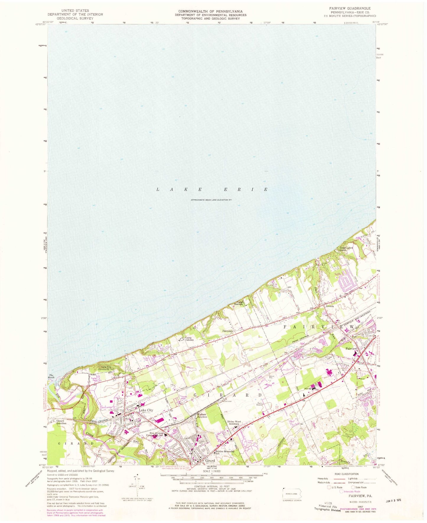
Historical USGS topographic quad map of Fairview in the state of Pennsylvania. Map scale may vary for some years, but is generally around 1:24,000. Print size is approximately 24" x 27"
This quadrangle is in the following counties: Erie.
The map contains contour lines, roads, rivers, towns, and lakes. Printed on high-quality waterproof paper with UV fade-resistant inks, and shipped rolled.
Contains the following named places: A F Dobler Hose and Ladder Company, Avonia, Avonia Census Designated Place, Battles Memorial School, Borough of Fairview, Borough of Girard, Borough of Lake City, Browns Farm, Byham Farms, Camp Caledon, Camp Sherwin, Crossing Gate Farms, Daggett Cemetery, Divine Word Seminary, Dudas Farms, Elk Creek, Erie County Infirmary, Fairplain, Fairplain Farm, Fairview, Fairview Cemetery, Fairview Census Designated Place, Fairview Post Office, Gieza Farms, Girard, Girard Cemetery, Girard Junction, Girard Post Office, Godfrey Run Farm, Goodwin Farms, Great Lakes Camp, Lake City, Lake City Fire Company Station 56, Lake City Fire Company Station 57, Lake City Police Department, Lake City Post Office, Lake Erie Community Park, Mason Farms, Old Almshouse Cemetery, Pangratz Fruit Farm, Rice Avenue Community Public Library, Rice Avenue Union High School, Ridgewood Farms, Saint Johns Cemetery, Shorewood Farm, Taylor Farms, The Mouth, Trout Run, Wallace Junction, West Ridge Sand and Gravel Pit, WGAE-FM (Girard), ZIP Code: 16423


