MyTopo
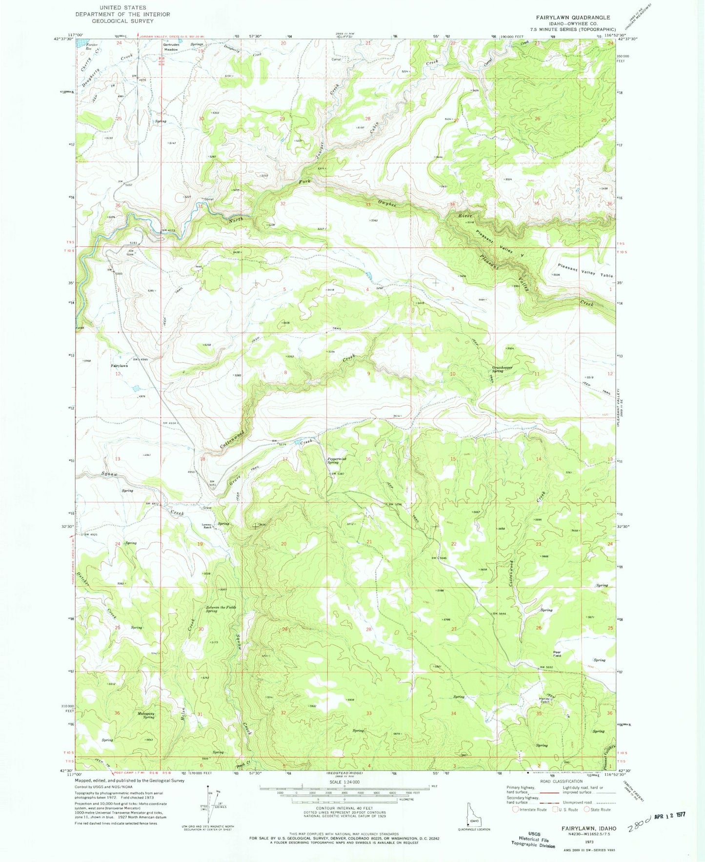
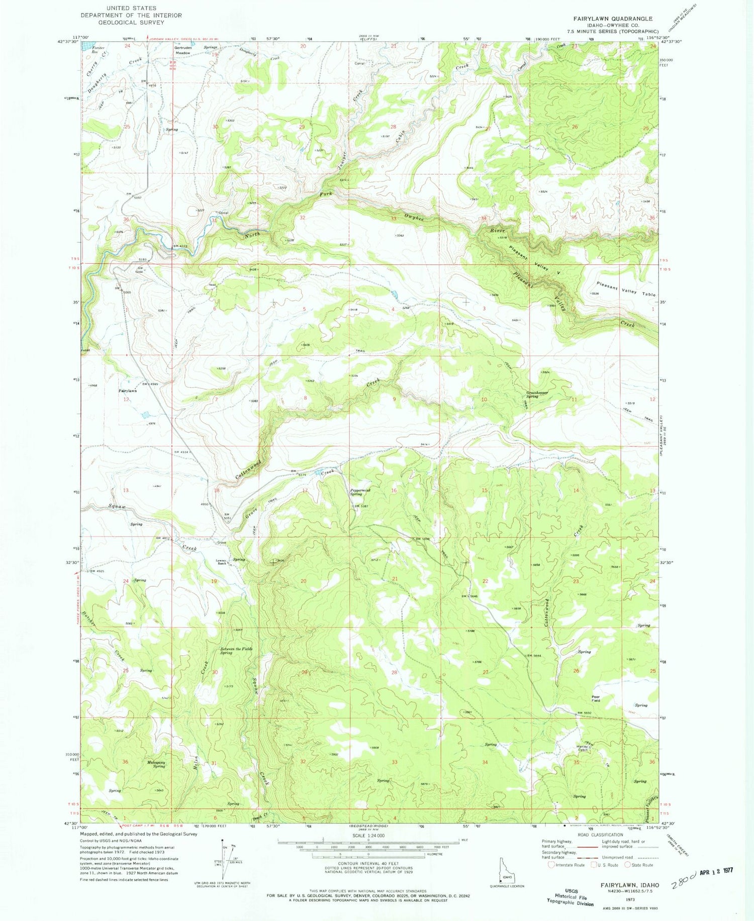
Classic USGS Fairylawn Idaho 7.5'x7.5' Topo Map
Couldn't load pickup availability
Historical USGS topographic quad map of Fairylawn in the state of Idaho. Map scale may vary for some years, but is generally around 1:24,000. Print size is approximately 24" x 27"
This quadrangle is in the following counties: Owyhee.
The map contains contour lines, roads, rivers, towns, and lakes. Printed on high-quality waterproof paper with UV fade-resistant inks, and shipped rolled.
Contains the following named places: Between the Fields Spring, Cabin Creek, Corral Creek, Cottonwood Creek, Fairylawn, Foland Dam, Gertrudes Meadow, Grasshopper Spring, Grave Creek, Hanley Cabin, Helen Creek, Juniper Creek, Juniper Creek Dam, Lowrey Ranch, Mahogany Spring, North Fork Owyhee Wild and Scenic River, Peach Creek, Peer Field, Peppermint Spring, Pleasant Valley Creek, Pleasant Valley V