
MyTopo
Classic USGS Falconberry Peak Idaho 7.5'x7.5' Topo Map
Couldn't load pickup availability
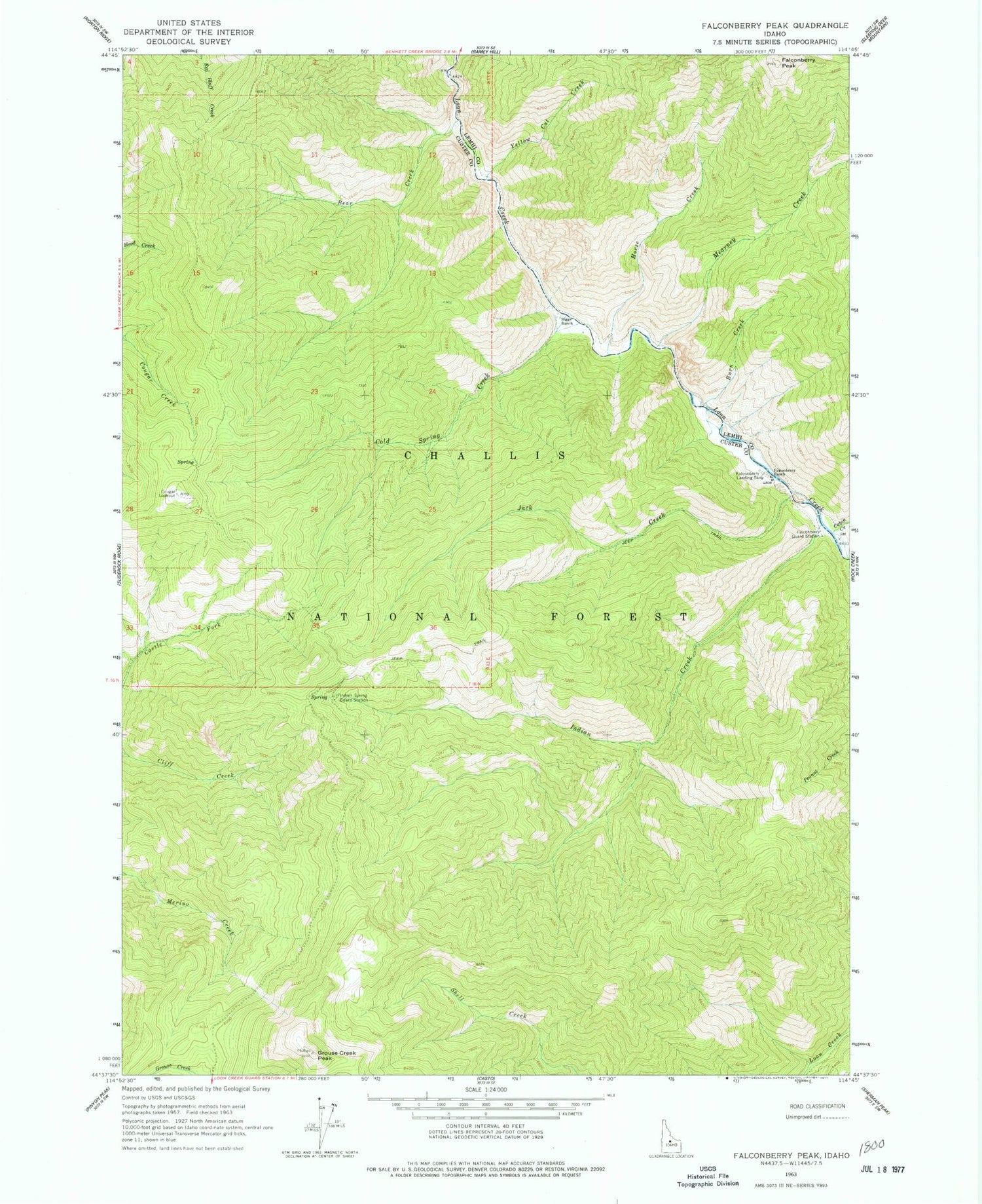
Historical USGS topographic quad map of Falconberry Peak in the state of Idaho. Typical map scale is 1:24,000, but may vary for certain years, if available. Print size: 24" x 27"
This quadrangle is in the following counties: Custer, Lemhi.
The map contains contour lines, roads, rivers, towns, and lakes. Printed on high-quality waterproof paper with UV fade-resistant inks, and shipped rolled.
Contains the following named places: Bear Creek, Burn Creek, Cabin Creek, Cold Spring Creek, Cougar Lookout, Falconberry Guard Station, Falconberry Peak, Falconberry Ranch, Grouse Creek Peak, Horse Creek, Indian Creek, Indian Spring Guard Station, Jack Creek, Mearney Creek, Yellow Cat Creek, Falconberry Landing Strip (historical), Biggs Ranch


