MyTopo
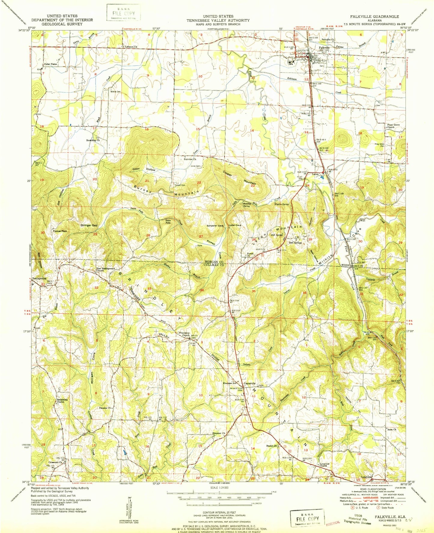
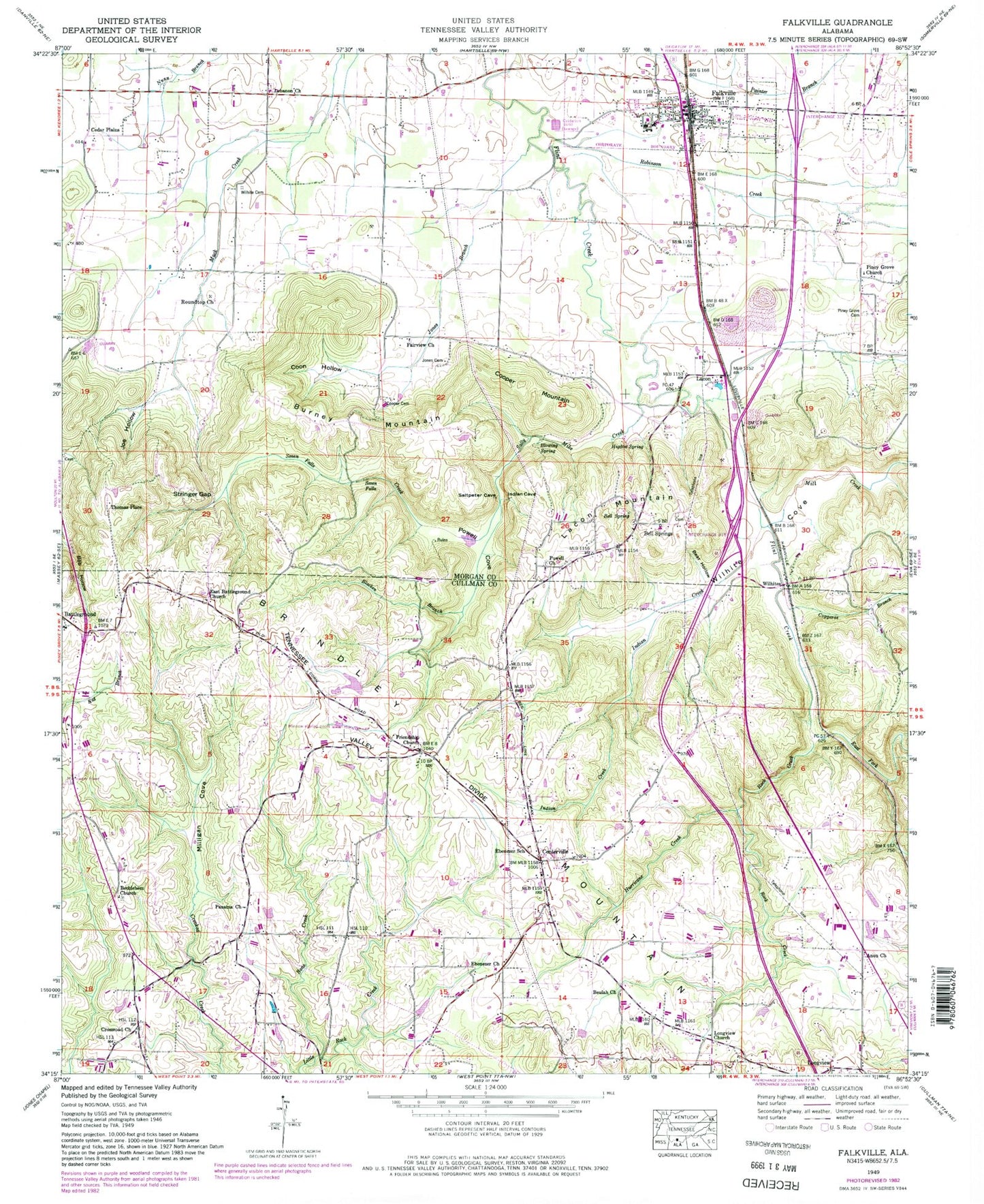
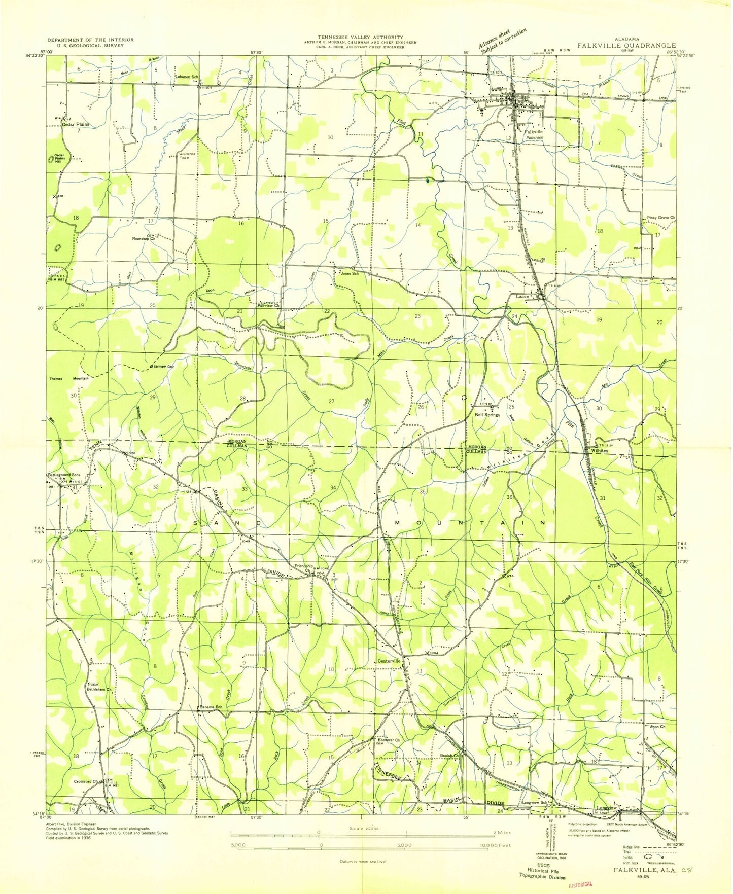
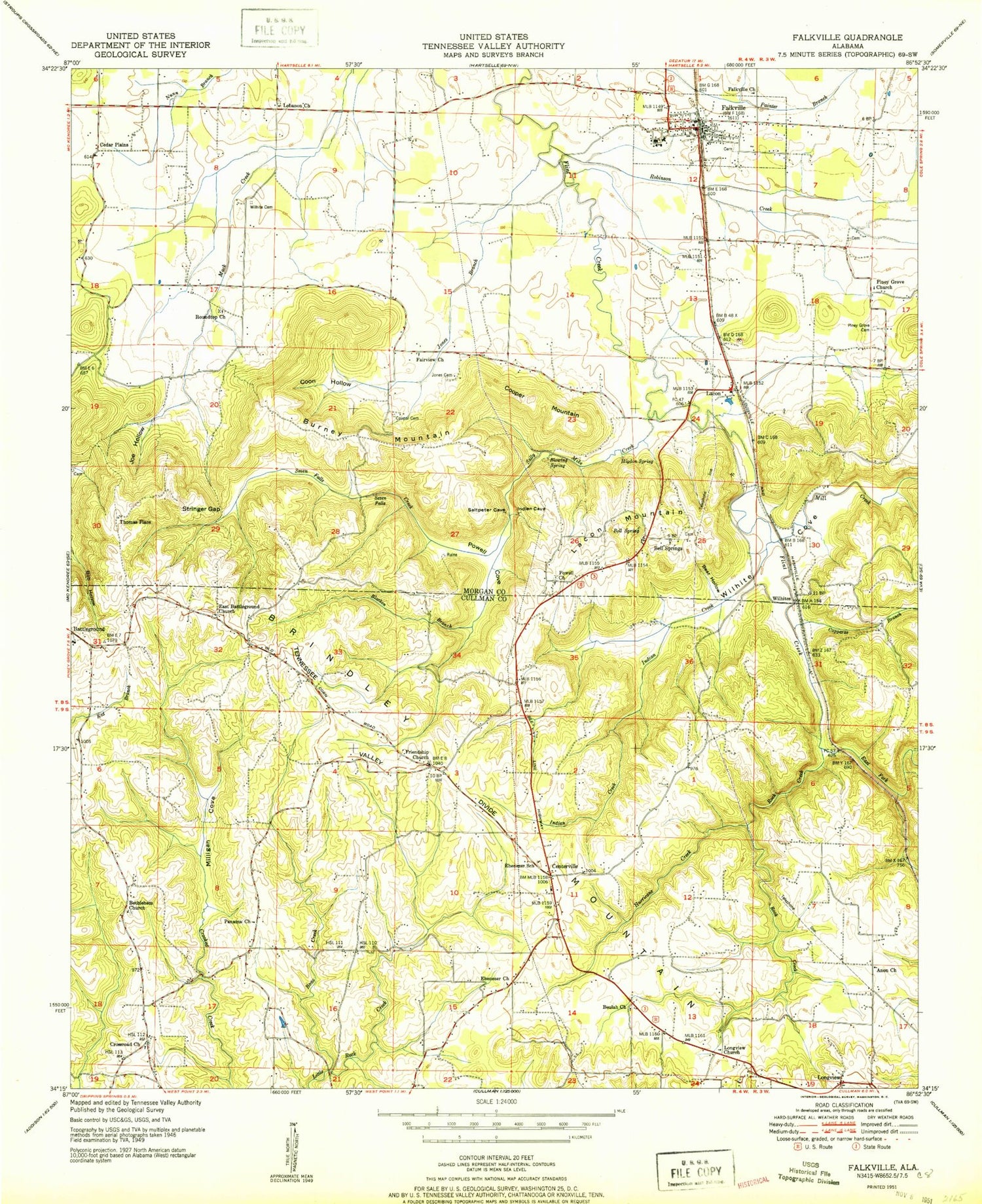
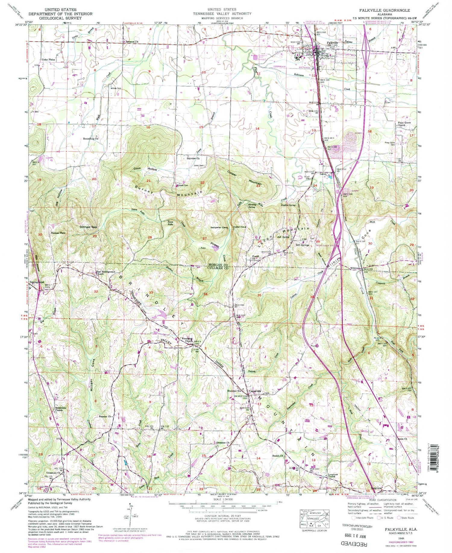
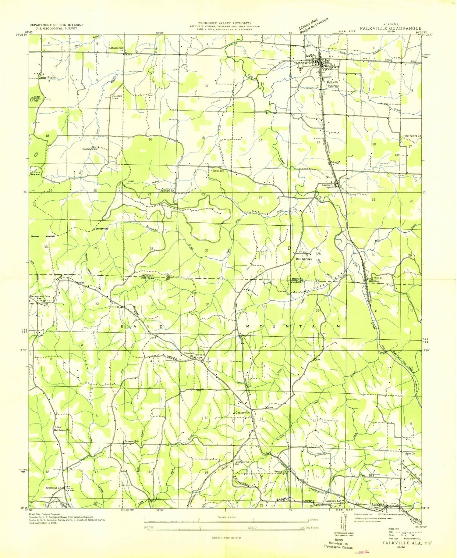
Classic USGS Falkville Alabama 7.5'x7.5' Topo Map
Couldn't load pickup availability
Historical USGS topographic quad map of Falkville in the state of Alabama. Map scale may vary for some years, but is generally around 1:24,000. Print size is approximately 24" x 27"
This quadrangle is in the following counties: Cullman, Morgan.
The map contains contour lines, roads, rivers, towns, and lakes. Printed on high-quality waterproof paper with UV fade-resistant inks, and shipped rolled.
Contains the following named places: Anon Missionary Baptist Church, Battleground, Battleground Missionary Baptist Church, Battleground School, Battleground Volunteer Fire Department Station 1, Bear Hollow, Bell Spring, Bell Springs, Bell Springs Cemetery, Bethlehem West Baptist Church, Bethlehem West Cemetery, Beulah Church of Christ, Blacken Branch, Blowing Spring, Bone Creek, Boyle Gap, Burney Mountain, Calvary West Church, Cathedral of Praise, Cedar Plains, Cedar Plains Church, Cedar Plains Hill, Centerville, Charity Missionary Baptist Church, Church of the Holy Spirit, Community Center Church, Coon Hollow, Cooper Cemetery, Cooper Mountain, Copperas Branch, Crooked Creek, Crossroads Cemetery, Crossroads Missionary Baptist Church, Darrell Parker Pond, Day Gap, East Battleground Cemetery, East Battleground Church, East Fork Flint Creek, Ebenezer Baptist Church, Ebenezer Cemetery, Ebenezer School, F and L Farms, Fairview Presbyterian Church, Faith Assembly of God Church, Falkville, Falkville City Cemetery, Falkville Division, Falkville Fire Department Station 1, Falkville High School, Falkville Police Department, Falkville Post Office, Faulkville Church, Francis Branch, Friendship Cemetery, Friendship Independent Methodist Church, Harmony Holy Church of Christ, Higdon Cemetery, Higdon Spring, Holmes Cemetery, Hurricane Creek, Indian Creek, Joe Hollow, Jones Branch, Jones Cemetery, Jones School, Lacon, Lacon Mountain, Lacon Quarry, Lebanon, Lebanon Baptist Church, Lebanon Baptist Church Cemetery, Lebanon School, Longview, Longview Church of God, Longview School, Mack Spring, McCroskey Cemetery, Mill Creek, Milligan Cove, Nunn - Wilhite Cemetery, Panama Missionary Baptist Church, Panama School, Paul Rigsby Dam, Pine Street Baptist Church, Piney Grove Christian Church, Piney Grove Community Cemetery, Powell Church, Powell Cove, Powells Chapel Cemetery, Robinson Creek, Rock Creek, Roundtop Church, Sally Mike Creek, Seven Falls, Seven Falls Creek, Smith - McCroskey Cemetery Number 1, Souls Harbor Freewill Baptist Church, Stable Branch, Stringer Gap, Thomas Mountain, Thomas Place, Vinemont Division, Wilhite Cove, Wilhites, Wilhites Hollow, Wilson Cemetery, Zeke Hollow Camp Ground, ZIP Codes: 35179, 35622
