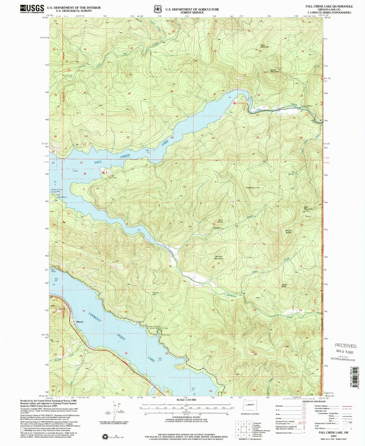
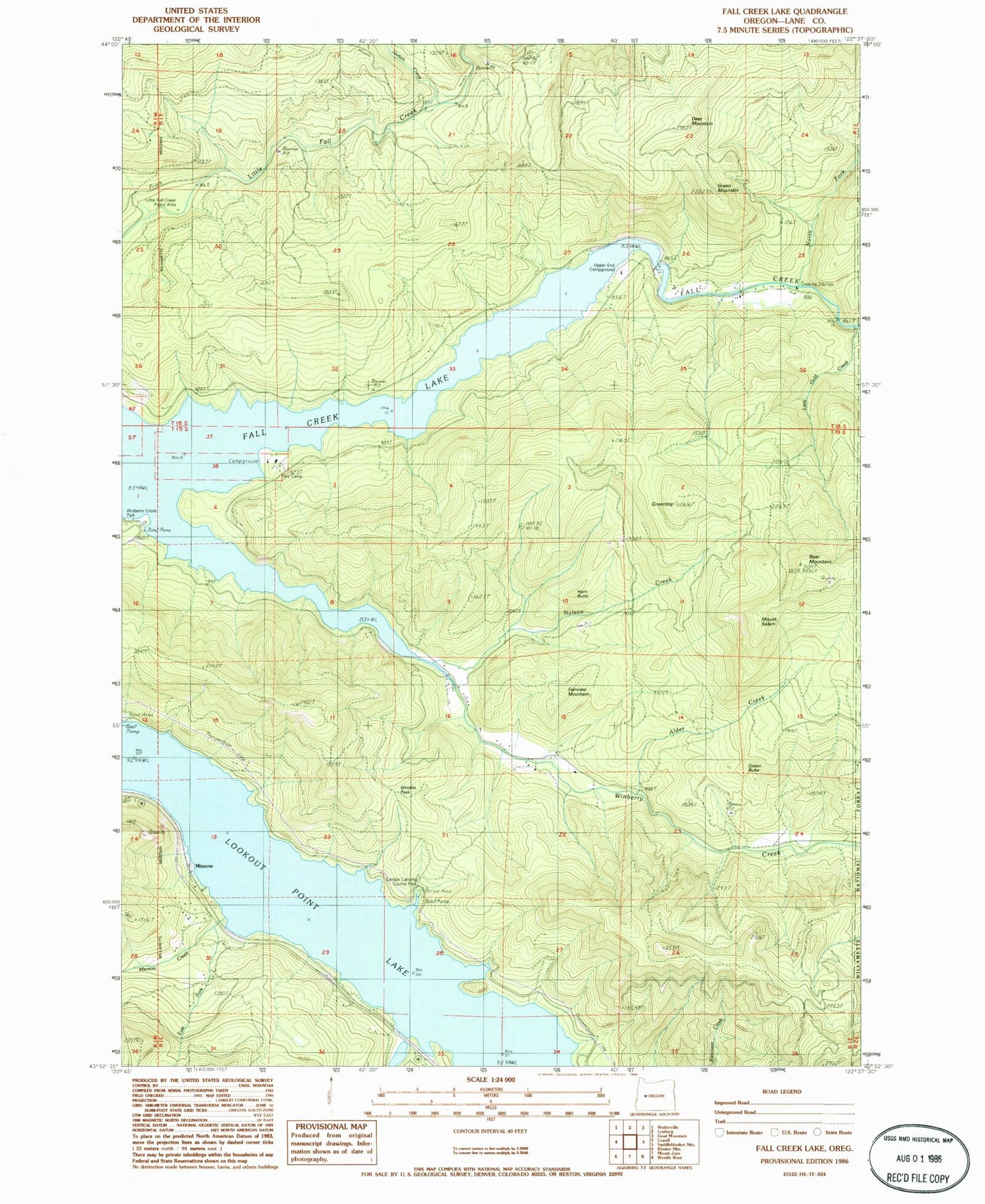
MyTopo
Classic USGS Fall Creek Lake Oregon 7.5'x7.5' Topo Map
Couldn't load pickup availability
Historical USGS topographic quad map of Fall Creek Lake in the state of Oregon. Map scale may vary for some years, but is generally around 1:24,000. Print size is approximately 24" x 27"
This quadrangle is in the following counties: Lane.
The map contains contour lines, roads, rivers, towns, and lakes. Printed on high-quality waterproof paper with UV fade-resistant inks, and shipped rolled.
Contains the following named places: Alder Creek, Bear Mountain, Burgess, Carter, Cascara Campground Boat Ramp, Deer Mountain, Disgust Creek, East Fork Minnow Creek, Egypt Post Office, Fairview Mountain, Fall Creek Lake, Fall Creek Reservoir State Park, Green Butte, Green Mountain, Greentop, Horn Butte, Hyde Creek, Landax Landing Park, Little Fall Creek Picnic Area, Little Gold Creek, Lowell Division, Minnow, Minnow Creek, Mount Salem, Murphy Creek, Nelson Creek, North Fork Fall Creek, North Shore Recreation Site, Norton Creek, Rolling Riffle Creek, Signal, Signal Point Boat Ramp, Sky Camp, Timber Creek, Upper End Campground, Wimble Pass, Winberry, Winberry Creek, Winberry Day Use Area Boat Ramp, Winberry Post Office, ZIP Code: 97438