MyTopo
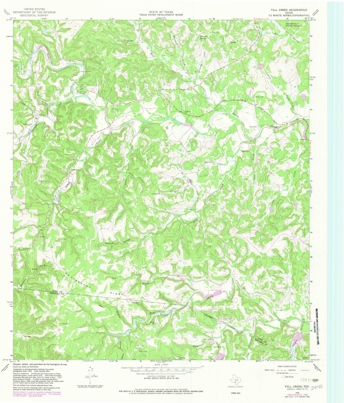
Classic USGS Fall Creek Texas 7.5'x7.5' Topo Map
Couldn't load pickup availability
Historical USGS topographic quad map of Fall Creek in the state of Texas. Map scale may vary for some years, but is generally around 1:24,000. Print size is approximately 24" x 27"
This quadrangle is in the following counties: Bandera, Kerr.
The map contains contour lines, roads, rivers, towns, and lakes. Printed on high-quality waterproof paper with UV fade-resistant inks, and shipped rolled.
Contains the following named places: Barclays Roost Airport, Bushwhack Creek, Calf Run, Camp Chrysalis, Camp Maddox, Coker Hollow, Cow Creek, Crow Canyon, Fall Creek, Fall Creek Ranch Airport, Falls Lake, Falls Lake Dam, Grave Hollow, Habecker Cemetery, Hog Branch, Huntsberry Ridge, Indian Creek, Kickapoo Camp, Lambs Creek, Lin Prong, Little Lambs Creek, Marshall Creek, Mexican Hollow, Palmer Creek, Panther Hollow, Peterson Creek, Peterson Spring, Prison Canyon, Ranch Hollow, Real Cemetery, Roden Lake, Roden Lake Dam, South Creek, Stone Creek, T S Clements Dam, T S Clements Lake, Turtle Creek Cemetery, Turtle Creek Volunteer Fire Department, Verde Springs, Walters Dam, Walters Lake, West Creek, Wolf Creek


