MyTopo
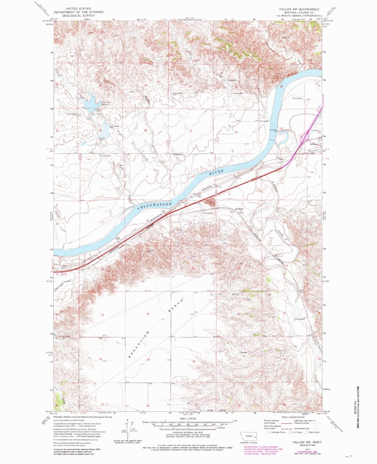
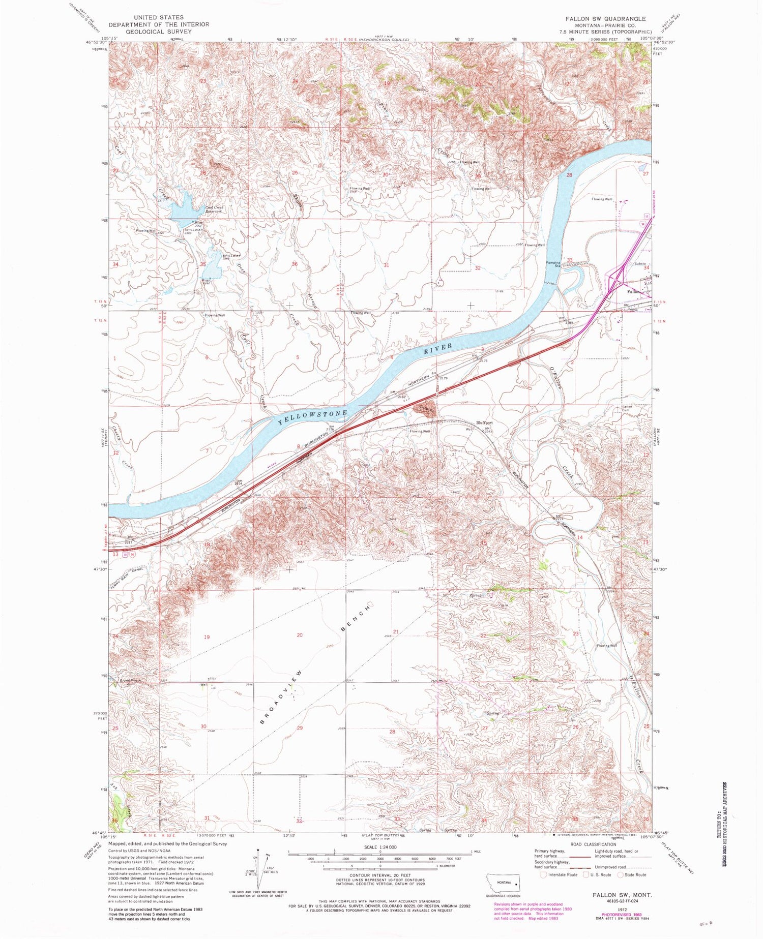
Classic USGS Fallon SW Montana 7.5'x7.5' Topo Map
Couldn't load pickup availability
Historical USGS topographic quad map of Fallon SW in the state of Montana. Map scale may vary for some years, but is generally around 1:24,000. Print size is approximately 24" x 27"
This quadrangle is in the following counties: Prairie.
The map contains contour lines, roads, rivers, towns, and lakes. Printed on high-quality waterproof paper with UV fade-resistant inks, and shipped rolled.
Contains the following named places: 12N51E12CDAD01 Well, 12N51E13DB__01 Well, 12N52E04BBBB01 Well, 12N52E06BAAA01 Well, 12N52E18CB__01 Well, 12N52E23DBAD01 Well, 12N52E26BB__01 Well, 12N52E26BCAB01 Well, 13N51E34AADA01 Well, 13N52E29BDBC01 Well, 13N52E29CADB01 Well, 13N52E30CBCA01 Well, 13N52E32ADAA01 Well, 13N52E33AC__01 Well, 13N52E34CDBB01 Well, Bluffport, Brights Valley Creek, Broadview Bench, Broadview School, Cameron Creek, Cato, Cherry Creek, Coal Creek, Coal Creek Dam, Coal Creek Drop Dam, Coal Creek Reservoir, Cottonwood Creek, Deer Creek, Fallon Cemetery, Fallon Census Designated Place, Haley School, Johnson Creek, Mamies Coulee, Newman Hollow Creek, O'Fallon Creek, Pine Creek, Resettlement FSA Number 4 Dam, Skunk Arroyo, White Island Rapids


