MyTopo
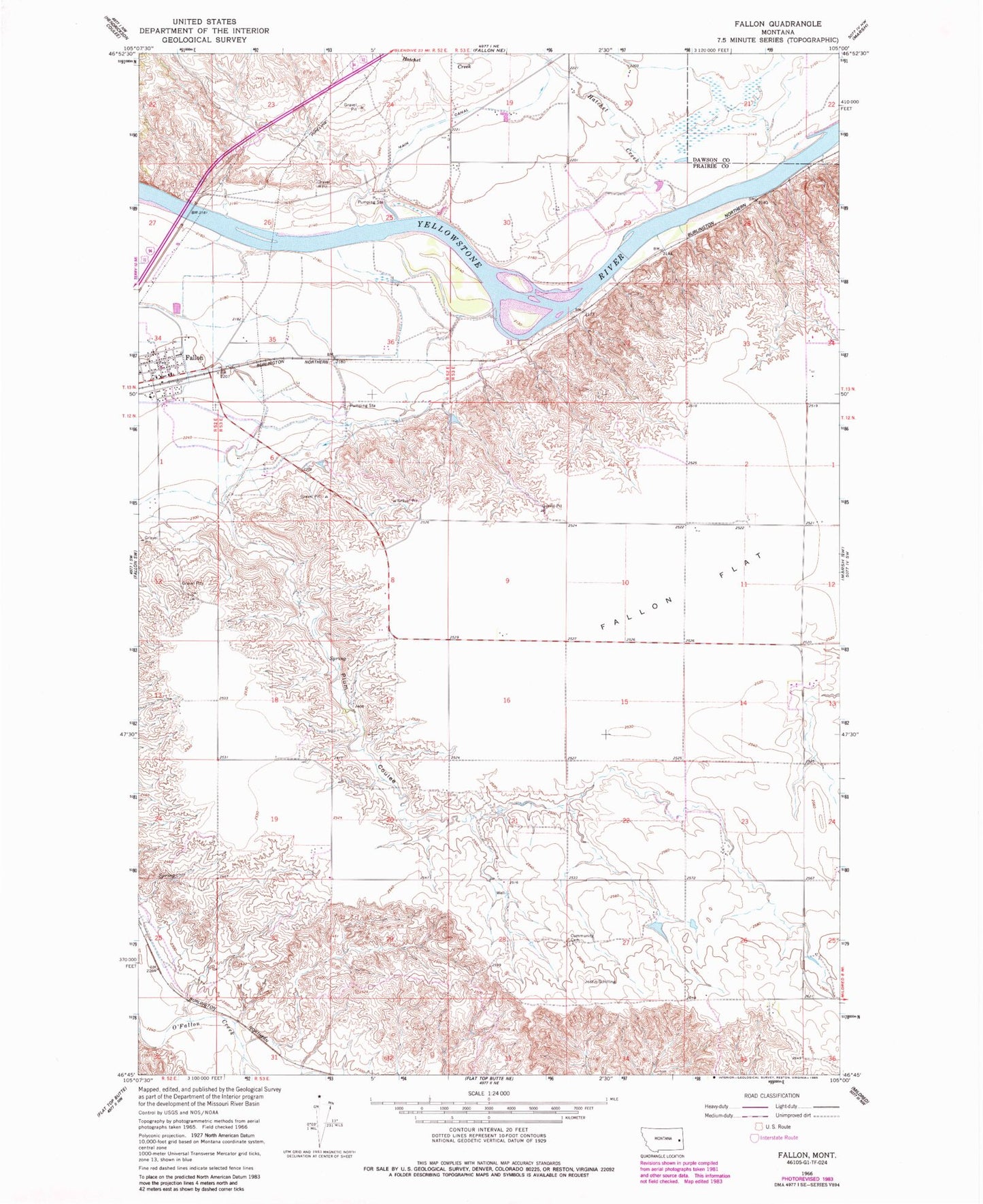
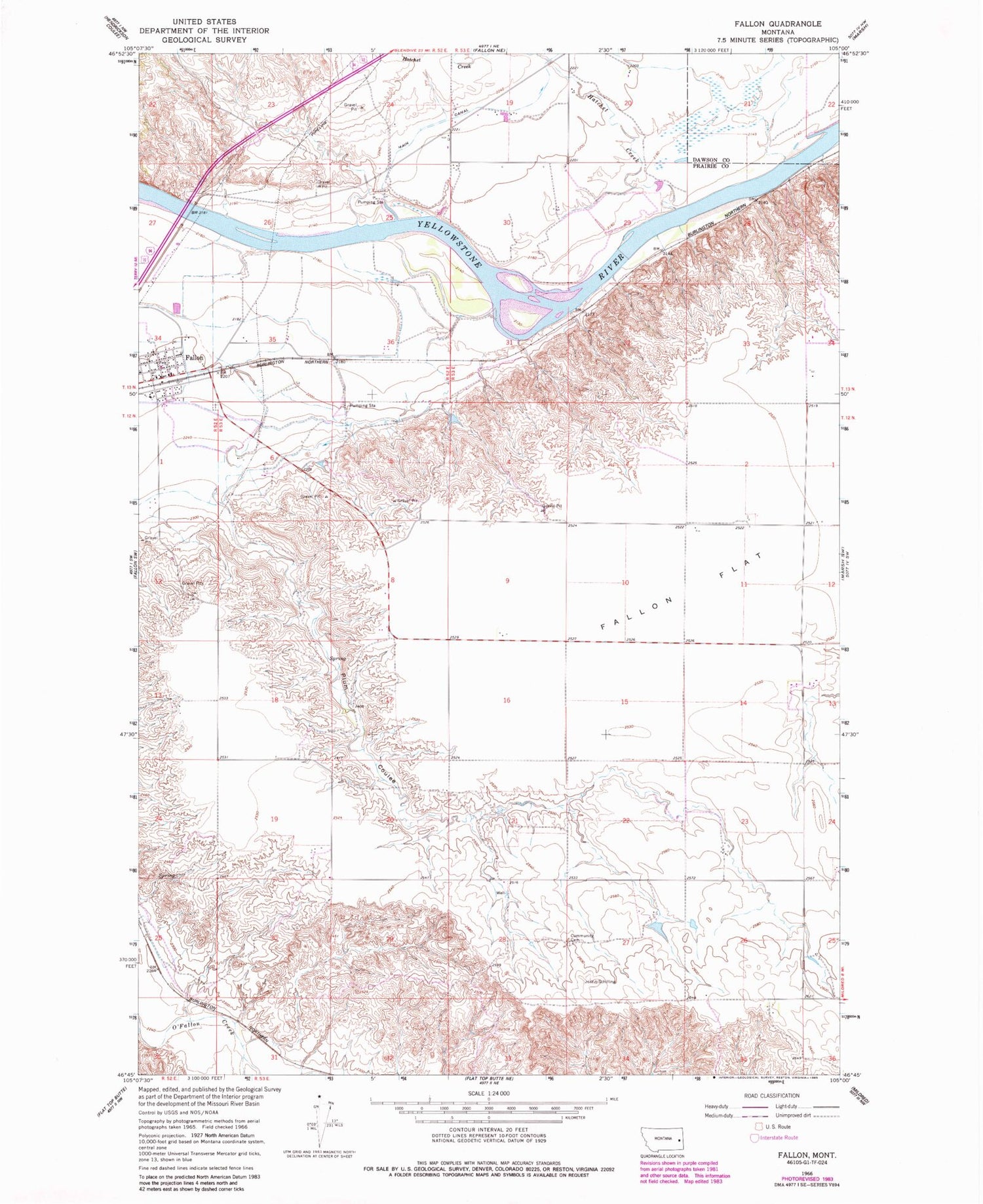
Classic USGS Fallon Montana 7.5'x7.5' Topo Map
Couldn't load pickup availability
Historical USGS topographic quad map of Fallon in the state of Montana. Map scale may vary for some years, but is generally around 1:24,000. Print size is approximately 24" x 27"
This quadrangle is in the following counties: Dawson, Prairie.
The map contains contour lines, roads, rivers, towns, and lakes. Printed on high-quality waterproof paper with UV fade-resistant inks, and shipped rolled.
Contains the following named places: 12N52E25BA__01 Well, 12N53E04BB__01 Well, 12N53E23CA__01 Well, 12N53E23CA__02 Well, 12N53E23CDBA01 Well, 13N52E24DBCB01 Well, 13N52E24DCA_01 Well, 13N52E25BAAB01 Well, 13N52E25BDA_01 Well, 13N52E34CBDC01 Well, 13N52E34CDAD01 Well, 13N53E19CBA_01 Well, 13N53E19DBA_01 Well, 13N53E19DDC_01 Well, 13N53E20AAC_01 Well, 13N53E20DCA_01 Well, 13N53E22BAA_03 Well, 13N53E22BAC_01 Well, 13N53E29ACB_01 Well, 13N53E29ACC_01 Well, 13N53E29BBC_01 Well, 13N53E29BCD_01 Well, 13N53E29BCD_02 Well, 13N53E29BCD_03 Well, 13N53E29BDA_01 Well, 13N53E29BDB_01 Well, 13N53E29CAB_01 Well, 13N53E29CBB_01 Well, 13N53E29CBC_01 Well, 13N53E30ADD_01 Well, 13N53E30BBB_01 Well, 13N53E30DABC01 Well, 13N53E30DDB_01 Well, Barrs Bluffs, Danton, Danton Post Office, De Russys Rapids, Evangelical Church of North America, Fallon, Fallon Bridge Fishing Access Site, Fallon Flat, Fallon Hall, Fallon Post Office, Fallon Rural Fire District, Fallon School, Grace Lutheran Parish, Harvest States Cooperatives Elevator, Hatchet Creek, Hope American Lutheran Church, Little Flat School, Plum Coulee, Sackman School, Saucer Number 1 Dam, Thorson School, Walther Park, Yellowstone River Bridge


