MyTopo
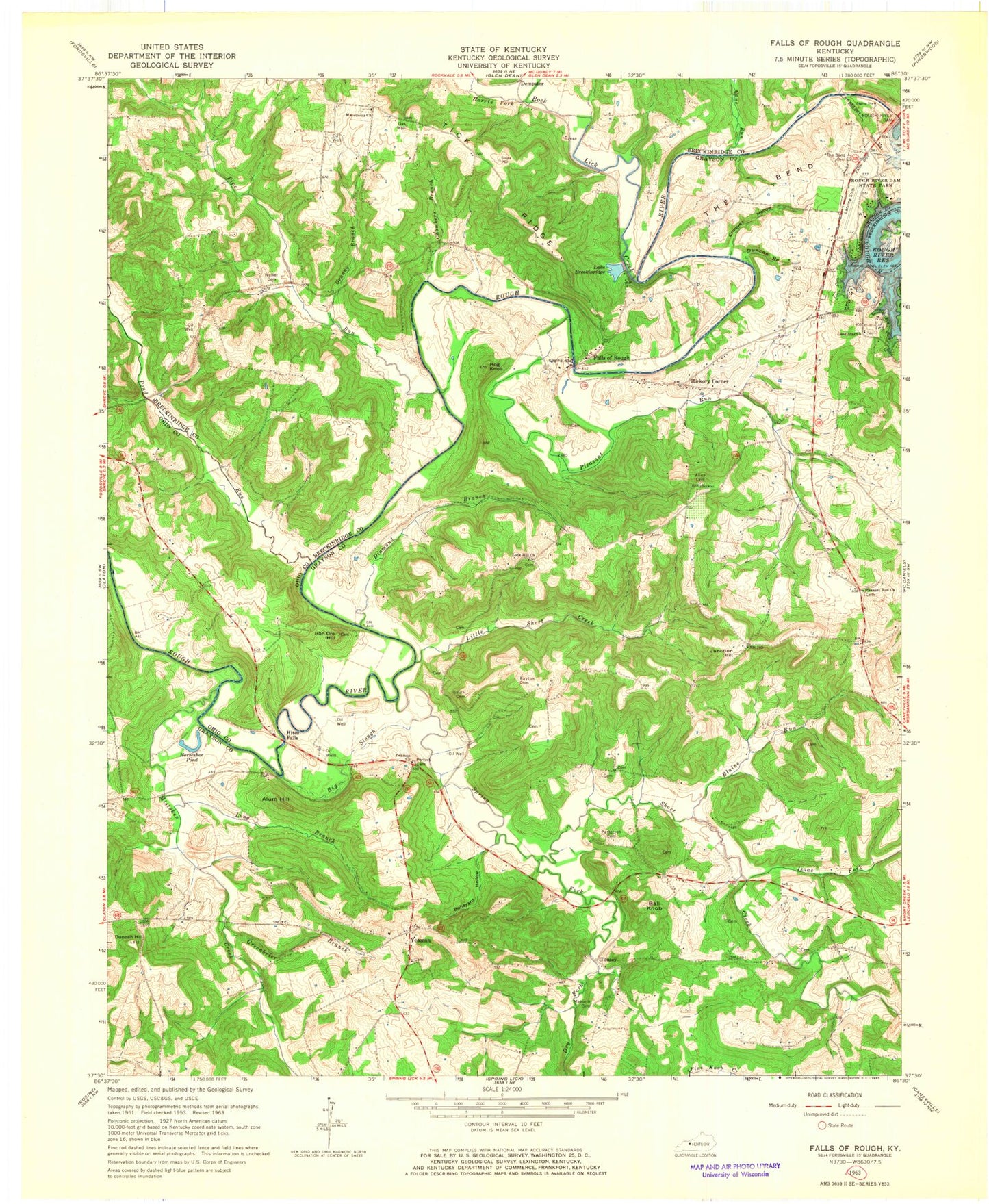
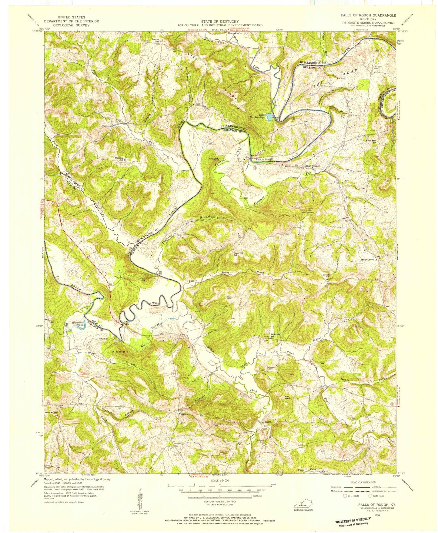
Classic USGS Falls of Rough Kentucky 7.5'x7.5' Topo Map
Couldn't load pickup availability
Historical USGS topographic quad map of Falls of Rough in the state of Kentucky. Map scale may vary for some years, but is generally around 1:24,000. Print size is approximately 24" x 27"
This quadrangle is in the following counties: Breckinridge, Grayson, Ohio.
The map contains contour lines, roads, rivers, towns, and lakes. Printed on high-quality waterproof paper with UV fade-resistant inks, and shipped rolled.
Contains the following named places: Allen Cemetery, Alum Hill, Ball Knob, Big Slough, Blaine Run, Boneyard Hollow, Bugger Hill, Cane Run, Chambers Branch, Croquet Hollow, Diamond Branch, Dry Fork, Duncan Branch, Duncan Hill, Eskridge Cemetery, Falls of Rough, Falls of Rough Fire Department, Falls of Rough Volunteer Fire Department Station 2 Water Rescue, Granny Branch, Greenbrier Branch, Harris Fork, Hickory Corner, Hites Falls, Hog Knob, Horseshoe Pond, Iron Ore Hill, Isaac Fork, Junction Hill, Lake Breckinridge, Little Short Creek, Lone Hill Church, Lone Star Church, Long Branch, Macedonia Church, Mahurin Cemetery, McQuady Glen, Mistaken Creek, Patterson Cemetery, Payton Cemetery, Pine Knob Creek, Pipe Run, Pleasant Run, Pleasant Run Church, Pond Run, Porter Cemetery, Rock Lick Creek, Rough River Dam, Rough River Dam State Park, Rough River State Park Airport, Short Creek, Short Creek Division, Smith Cemetery, Spring Fork, The Bend, Tick Ridge, Tousey, Walker Cemetery, Yeaman, Yeaman Church, ZIP Code: 40119


