MyTopo
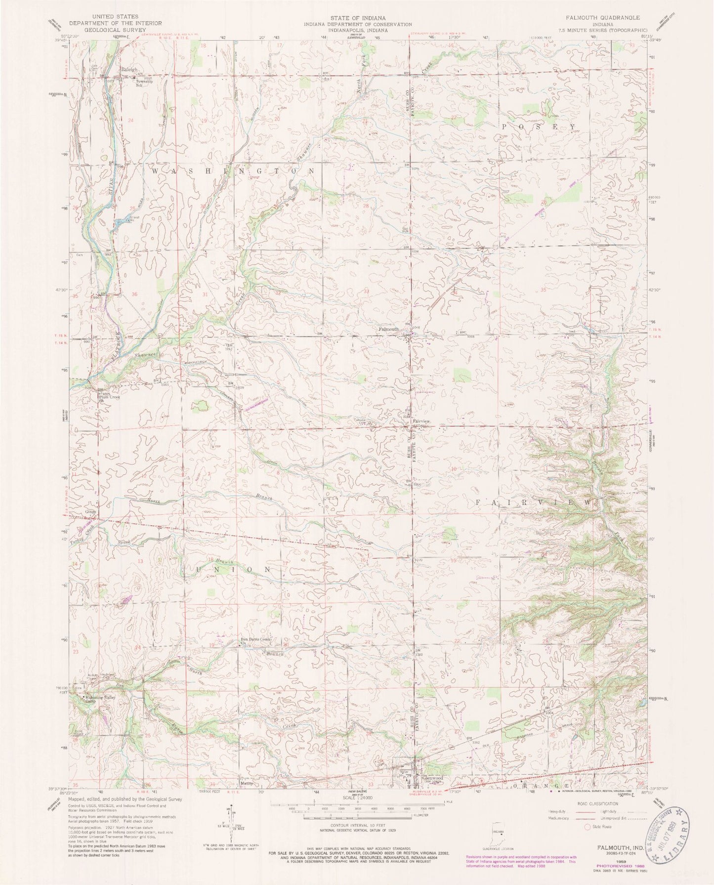
Classic USGS Falmouth Indiana 7.5'x7.5' Topo Map
Couldn't load pickup availability
Historical USGS topographic quad map of Falmouth in the state of Indiana. Map scale may vary for some years, but is generally around 1:24,000. Print size is approximately 24" x 27"
This quadrangle is in the following counties: Fayette, Rush.
The map contains contour lines, roads, rivers, towns, and lakes. Printed on high-quality waterproof paper with UV fade-resistant inks, and shipped rolled.
Contains the following named places: Ben Davis Creek Church, Dungan Airport, Fairview, Fairview Cemetery, Falmouth, Falmouth Post Office, Frazee Elementary School, Gings, Glenwood, Glenwood Police Department, Glenwood Post Office, Glidden Arm, Glidden Ditch, Hinchman Cemetery, Kirkpatrick Ditch, Lawless Ditch, Mahoning Valley Camp, Miles Ditch, North Branch Ben Davis Creek, North Branch Turkey Creek, North Fork Shawnee Creek, Plum Creek Church, Prine Ditch, Raleigh, Raleigh Fire Department Station 1, Shaker Run, Shawnee Creek, South Branch Turkey Creek, Town of Glenwood, Township of Fairview, Township of Union, Township of Washington, Wikoff Ditch, Zion Cemetery, ZIP Code: 46127