MyTopo
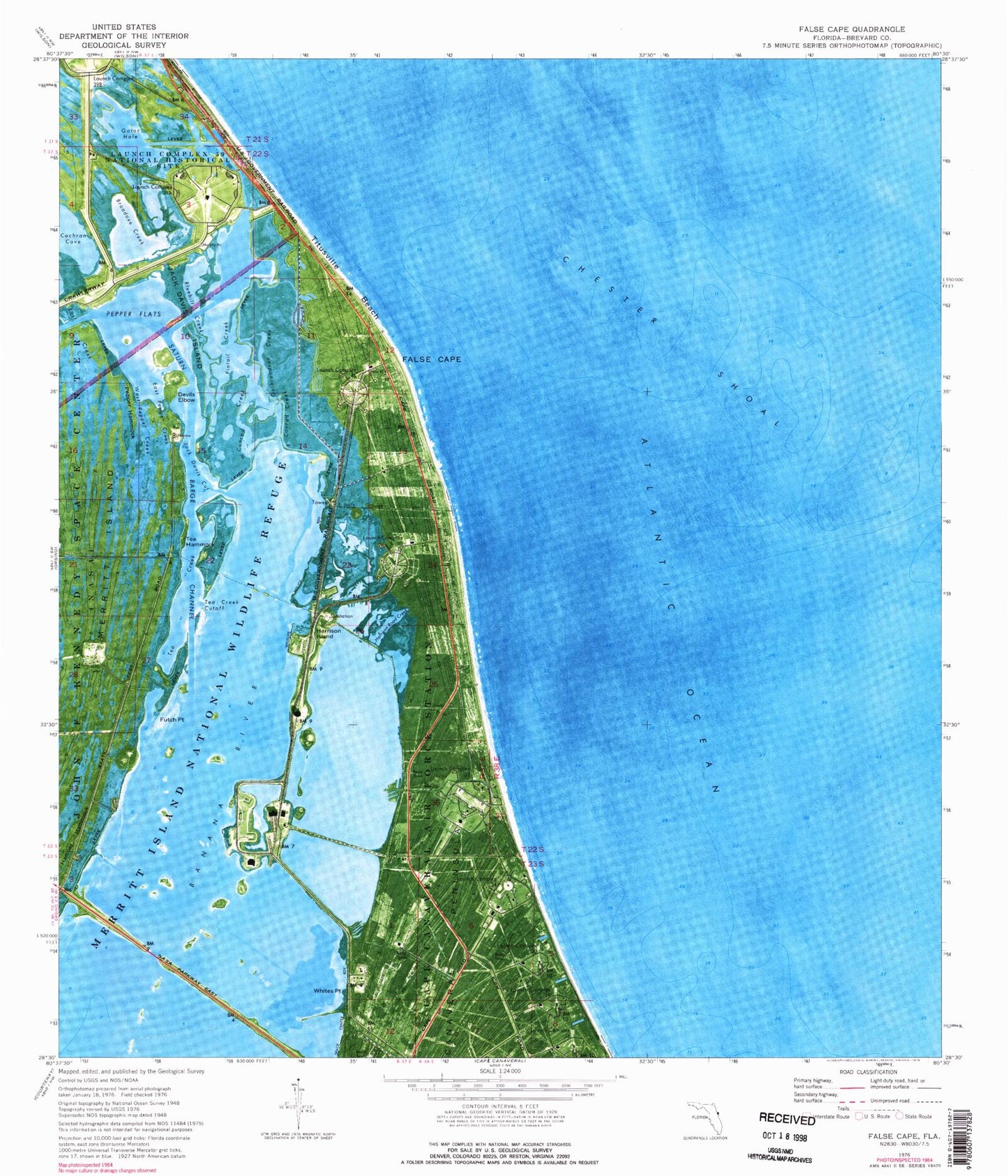
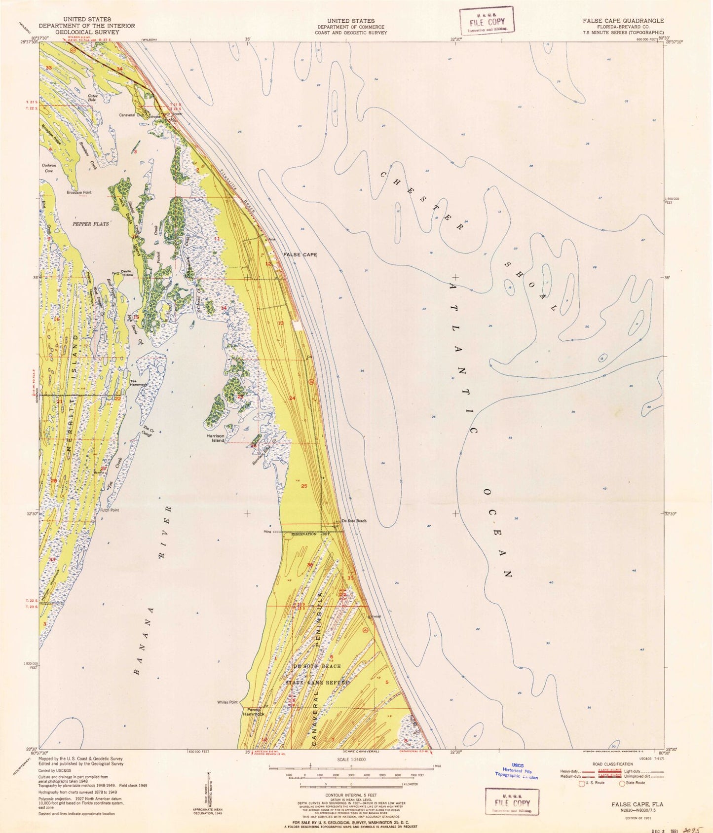
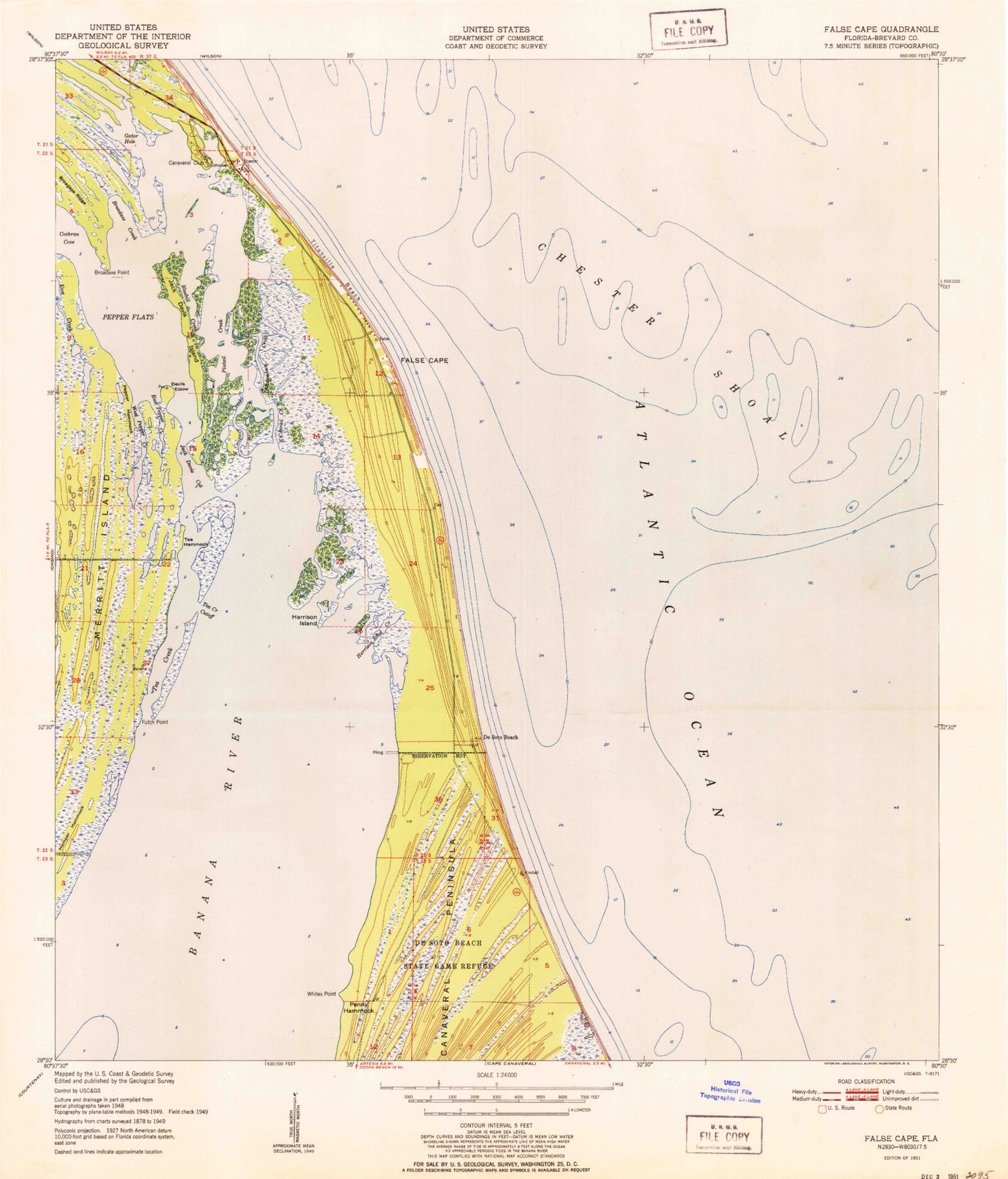
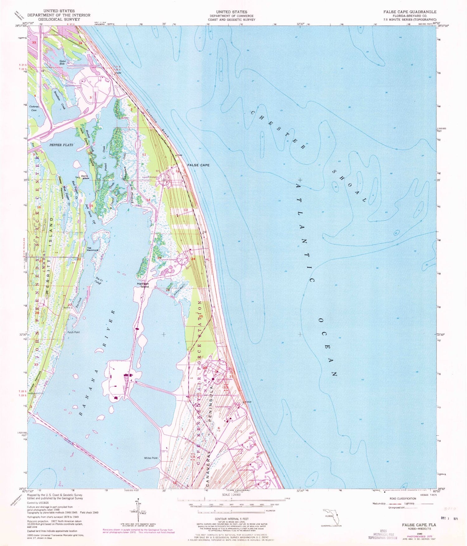
Classic USGS False Cape Florida 7.5'x7.5' Topo Map
Couldn't load pickup availability
Historical USGS topographic quad map of False Cape in the state of Florida. Map scale may vary for some years, but is generally around 1:24,000. Print size is approximately 24" x 27"
This quadrangle is in the following counties: Brevard.
The map contains contour lines, roads, rivers, towns, and lakes. Printed on high-quality waterproof paper with UV fade-resistant inks, and shipped rolled.
Contains the following named places: Barge Channel, Bluebill Creek, Broadaxe Creek, Chester Shoal, Conrad Creek, De Soto Beach, Devils Elbow, East Conrad Creek, East Pepper Creek, False Cape, Futch Point, Gator Hole, Gulbrandson Creek, Hamper Hammock, Harrison Island, Harrison Road Creek, Jack Davis Cut, Jack Davis Island, Kennedy Space Center - Cape Canaveral Air Force Station Fire Station 2, Launch Complex 16, Launch Complex 19, Launch Complex 20, Launch Complex 34, Launch Complex 37, Launch Complex 39B, Launch Complex 40, Launch Complex 41, Pepper Flats, Pepper Hammock, Pintail Creek, Tea Creek, Tea Creek Cutoff, Tea Hammock, Titusville Beach, West Pepper Creek, Whites Point