MyTopo
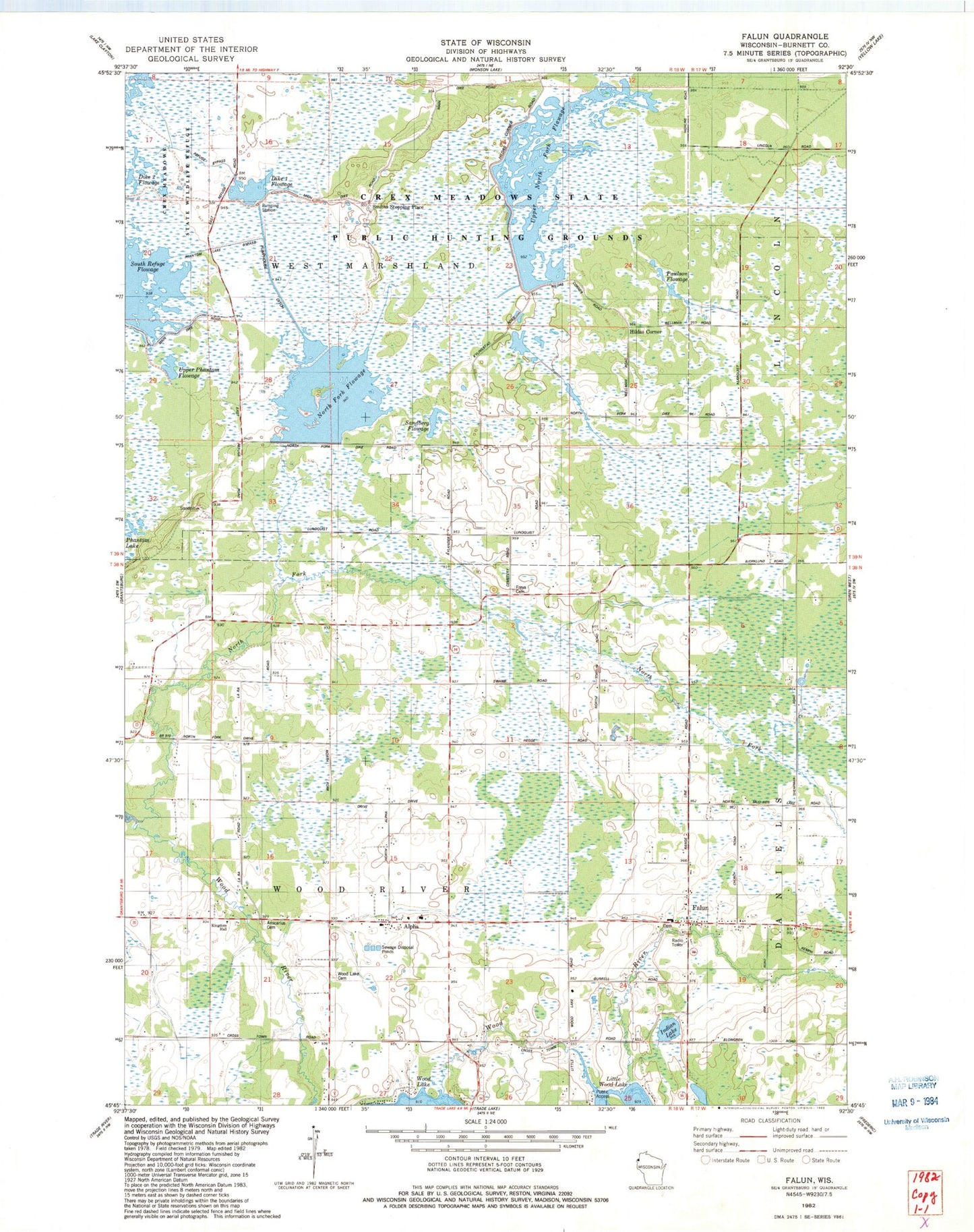
Classic USGS Falun Wisconsin 7.5'x7.5' Topo Map
Couldn't load pickup availability
Historical USGS topographic quad map of Falun in the state of Wisconsin. Map scale may vary for some years, but is generally around 1:24,000. Print size is approximately 24" x 27"
This quadrangle is in the following counties: Burnett.
The map contains contour lines, roads, rivers, towns, and lakes. Printed on high-quality waterproof paper with UV fade-resistant inks, and shipped rolled.
Contains the following named places: Alpha, Ansgarius Cemetery, Crex Meadows Dam, Crex Meadows North Fork Dike, Crex Meadows State Public Hunting Grounds, Crex Meadows State Wildlife Refuge, Dike 1 Flowage, Falun, Freya Cemetery, Hildas Corner, Indian Lake, Middle North Fork Flowage, Midway Tabernacle, Nelson Elementary School, North Fork Flowage, Paulson Flowage, Phantom Lake Bypass, Pumphouse Ditch, Refuge Bypass, Sandberg Flowage, Smiths Stopping Place, South Refuge Flowage, Town of Wood River, Upper North Fork Flowage, Upper Phantom Flowage, Wood Creek, Wood Lake Cemetery


